2006 Haute Route Run
100 miles in 6 days - 30,000' elevation gain
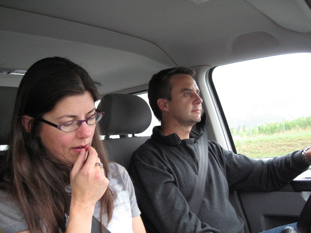
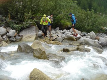
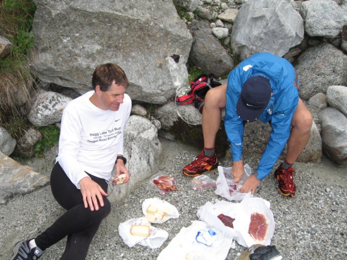
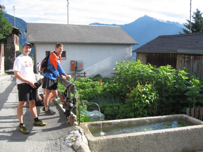
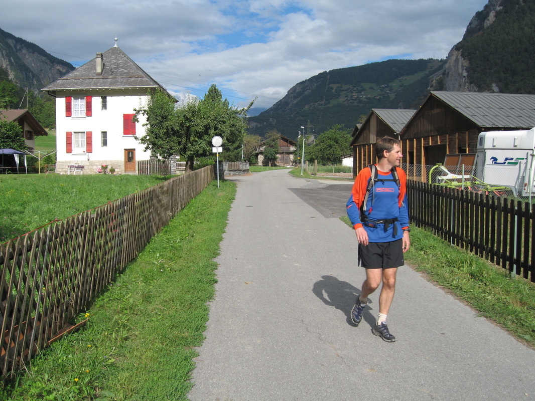
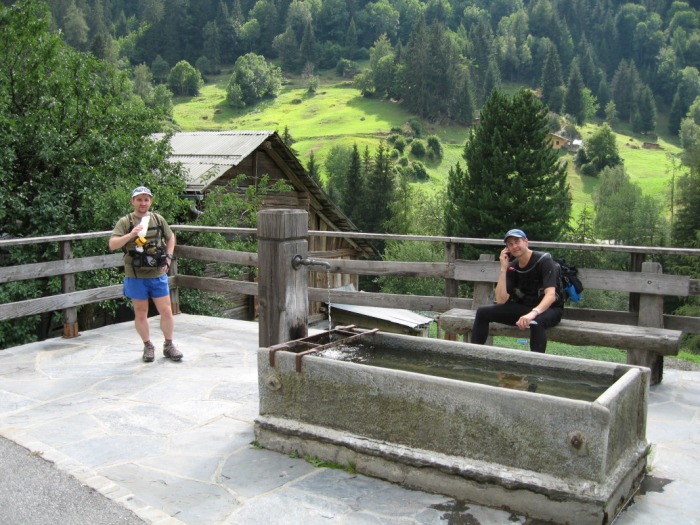
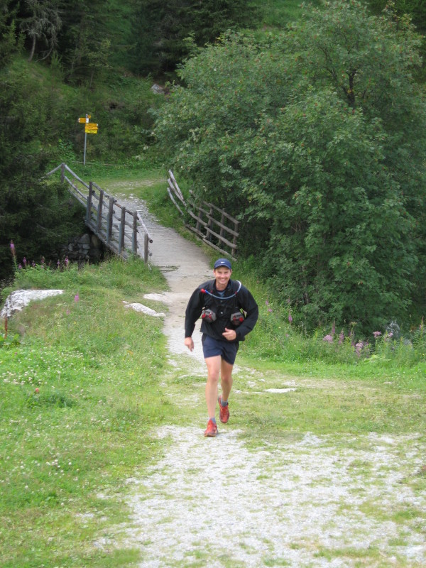
In 2005 a friend, Bill Sundermeier, suggested an epic adventure run from Chamonix to Zermatt along the Haute Route in Switzerland. He'd run the Europaweg in a prior year and built an itinerary that covered 120 miles in six days, running from hotel to hotel along the route. My wife and son, Cathy and Will, agreed to provide support for us and in August of 2006 we left for Switzerland.
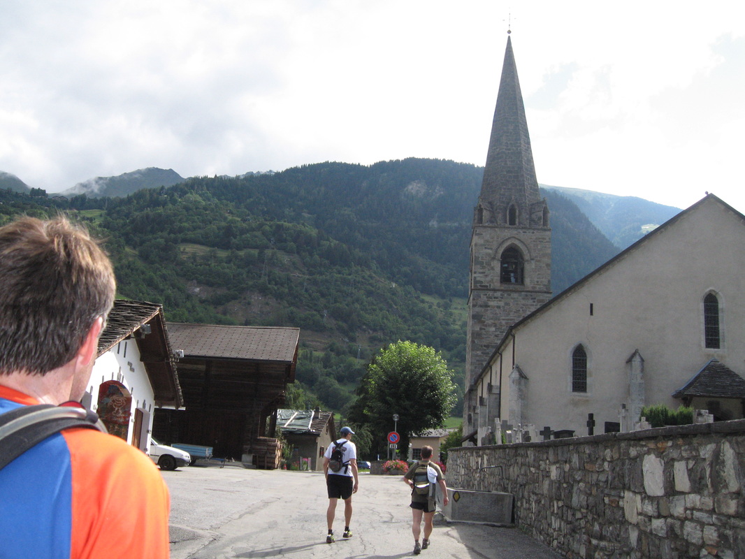
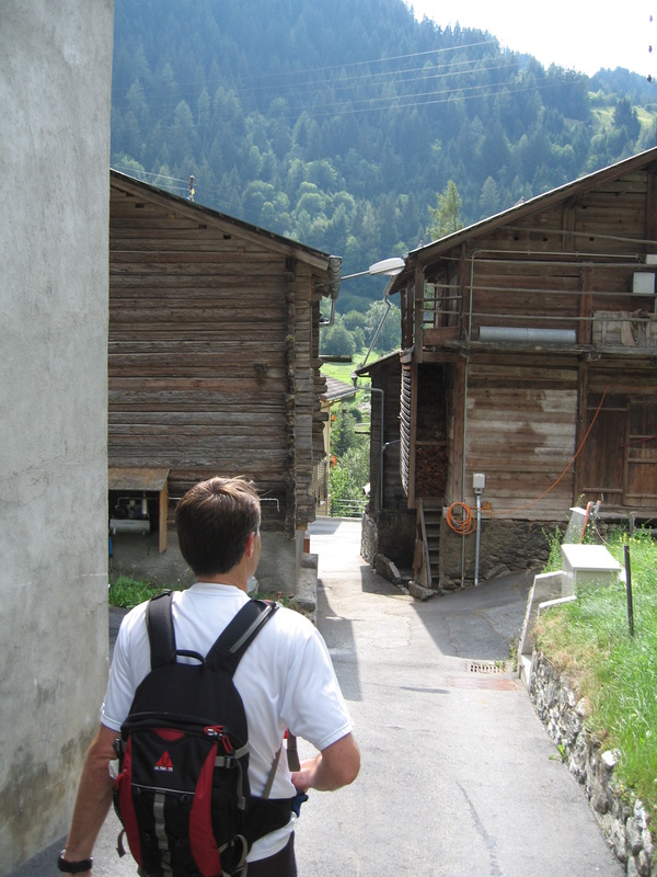
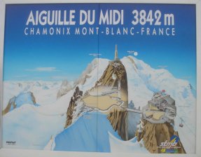
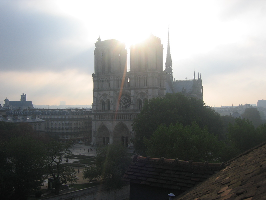
It was an incredible week. Eye-shatteringly beautiful terrain, a trip we will never forget and one that I would love to reprise. We flew from PDX to CDG, then in to Geneva. Rented a van and drove to Chamonix, where we spent the next two nights prepping for the run. After finishing the run in Zermatt we flew to Paris for two nights, staying across from Notre Dame, and then returned to Portland. During our departure from Charles De Gaulle we got stuck in the elevator for an hour. After pressing the intercom to request help the attendant on the other end said, "We are sending help. Do you speak French?" "No", we replied. "'tis a pity...", was the answer.
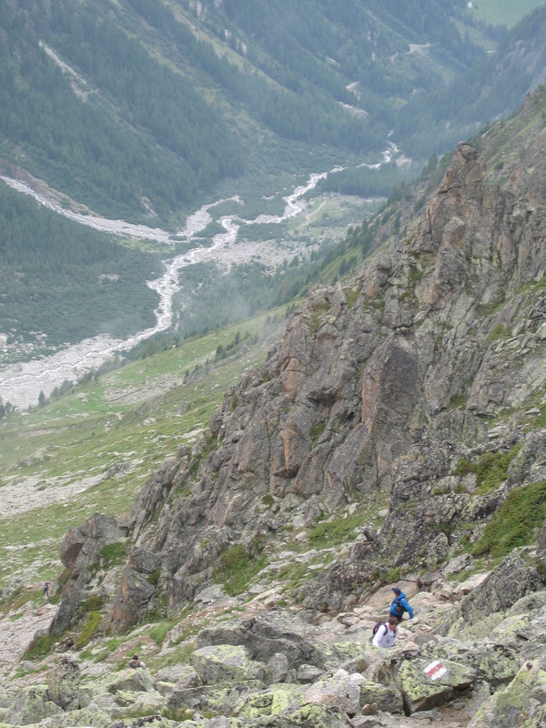
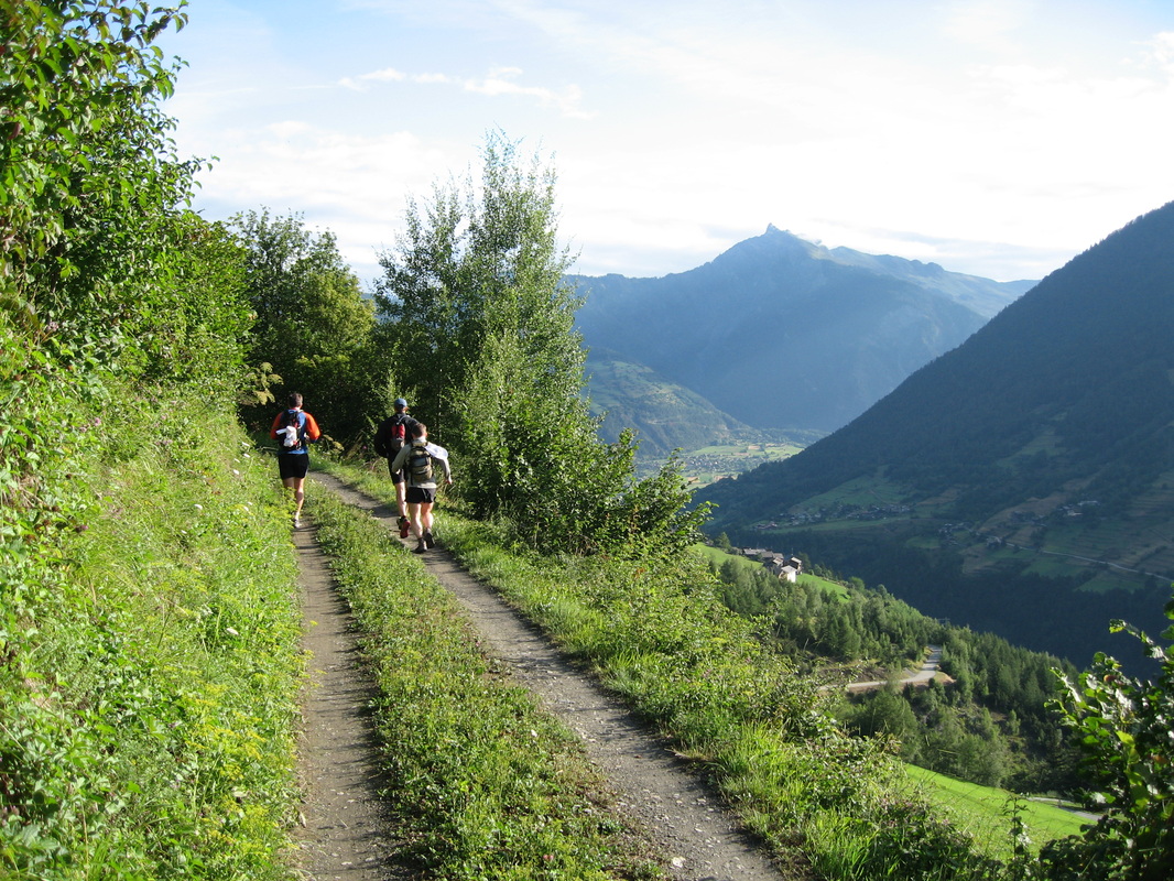
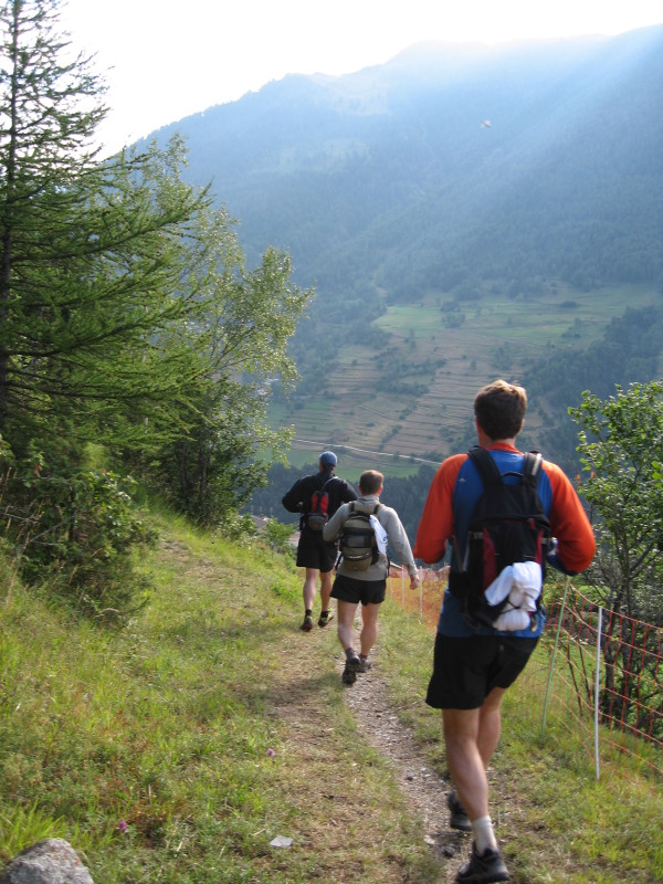
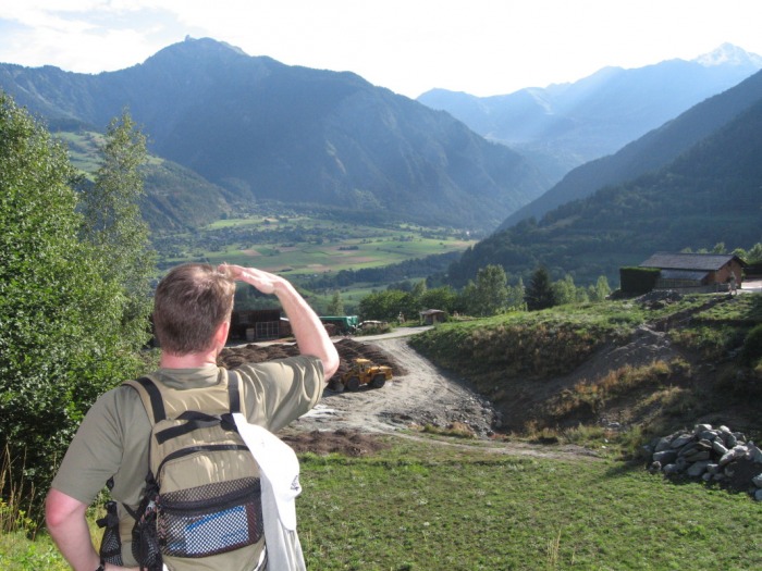
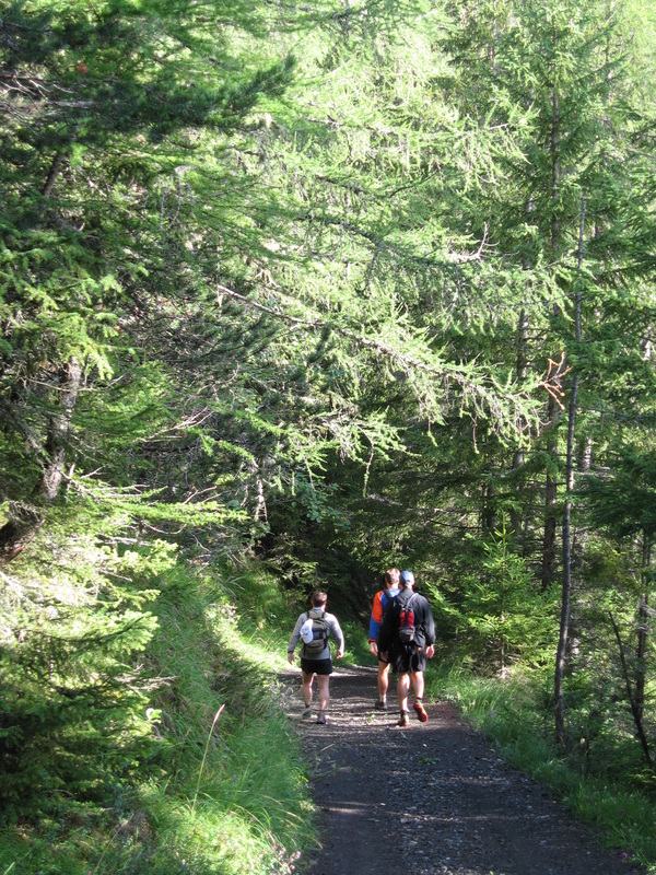
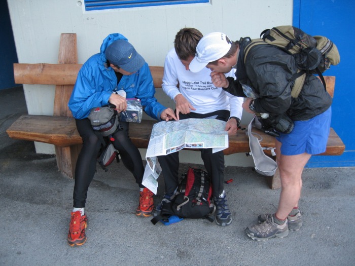
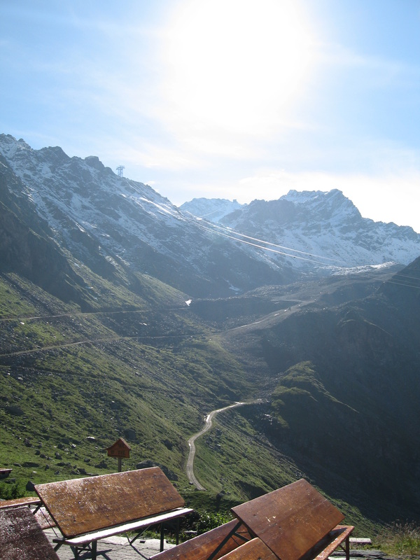
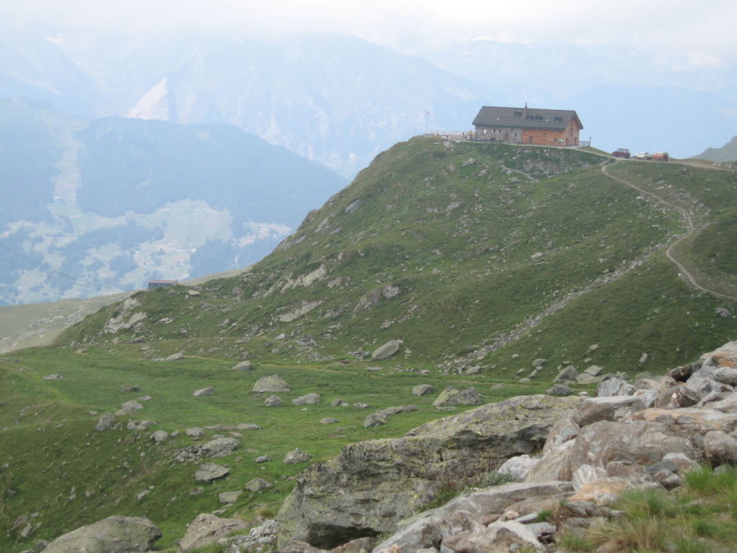
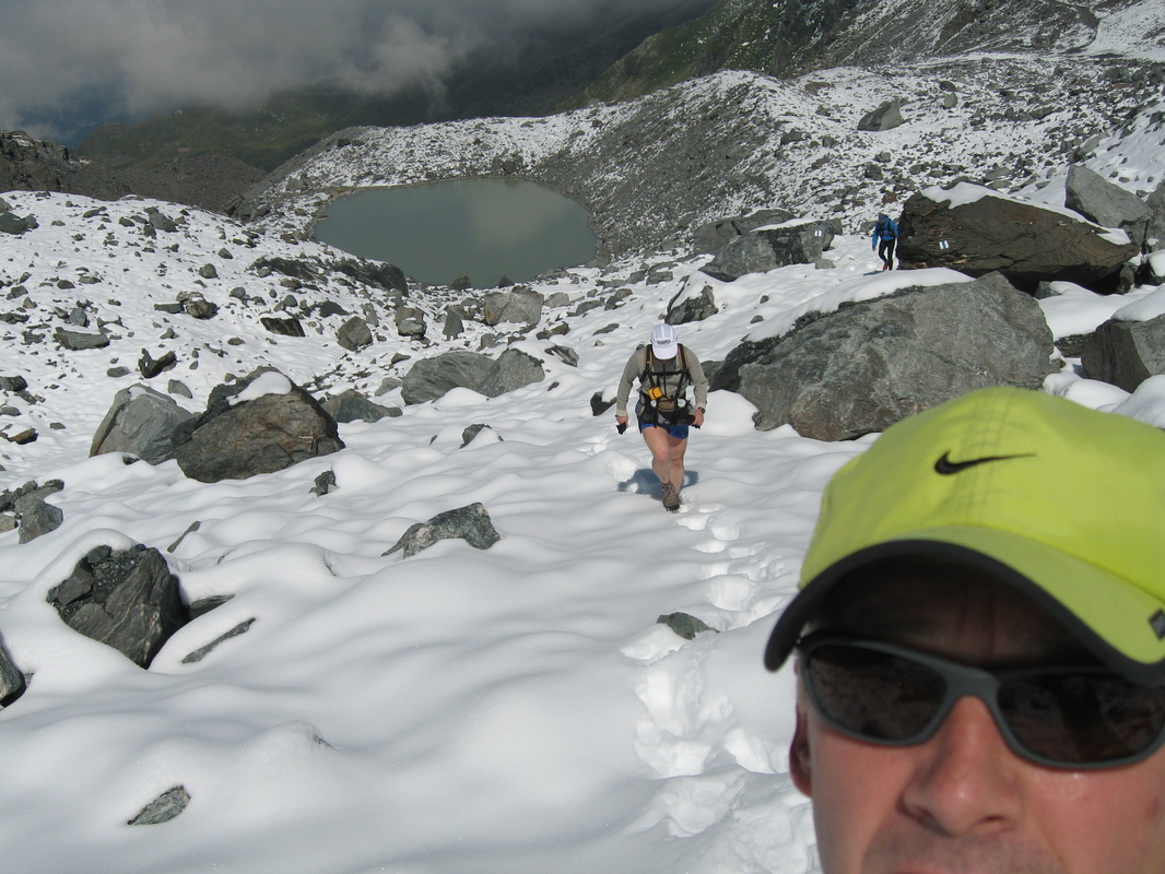
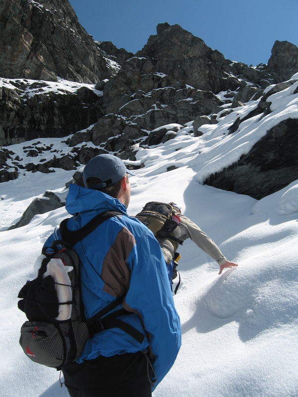
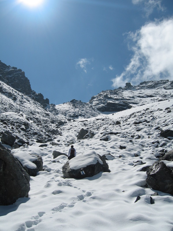
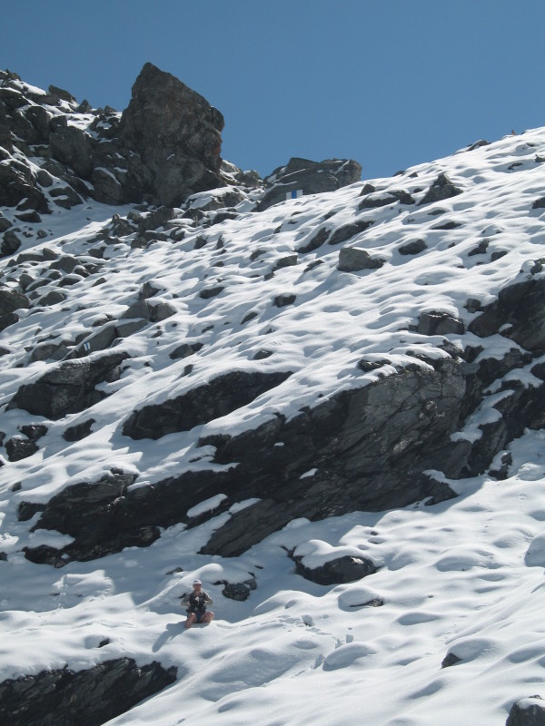
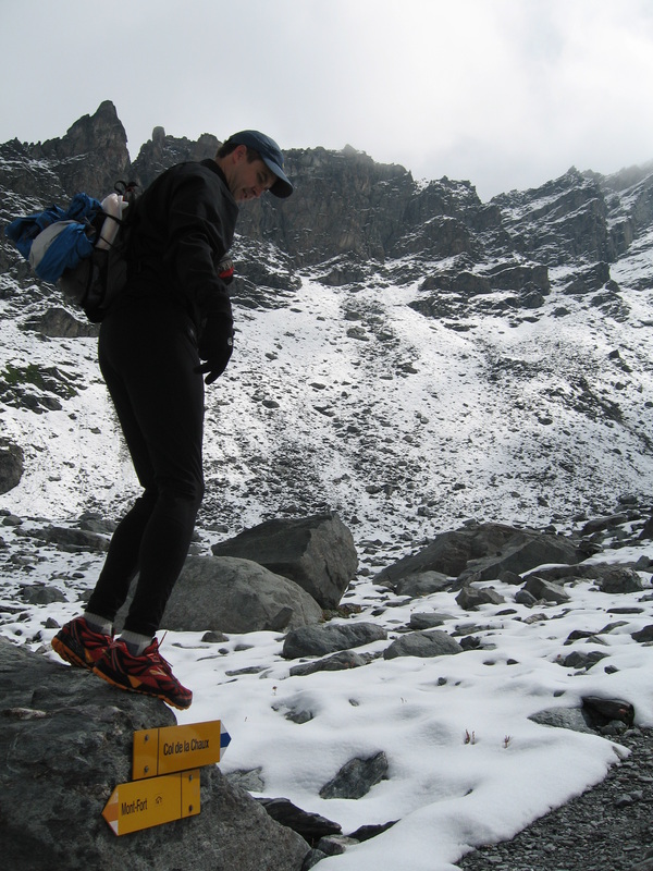
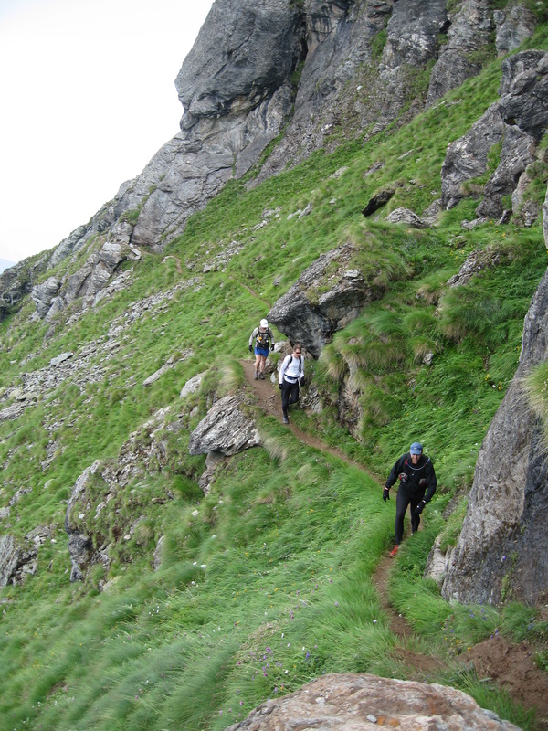
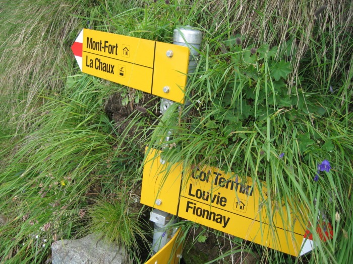
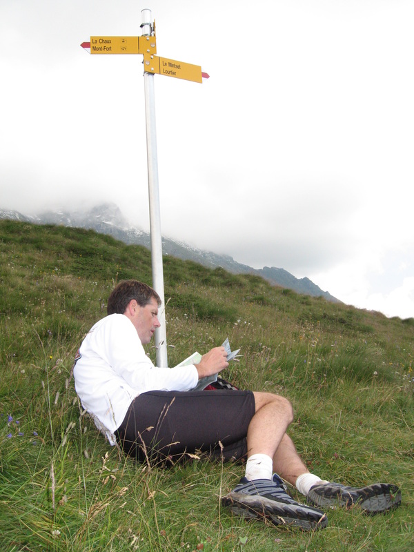
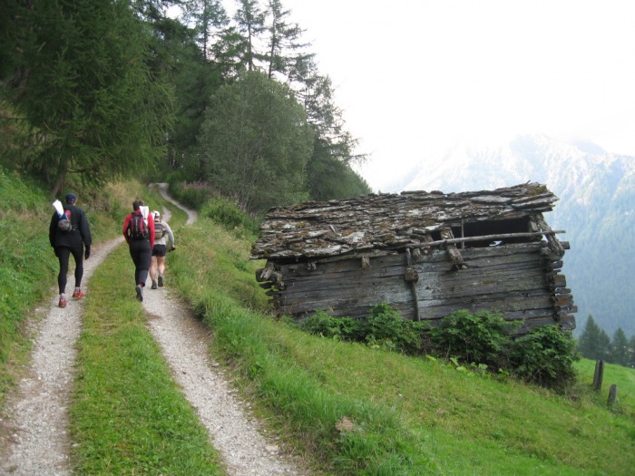
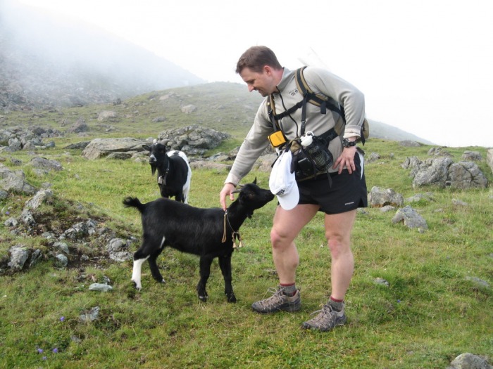
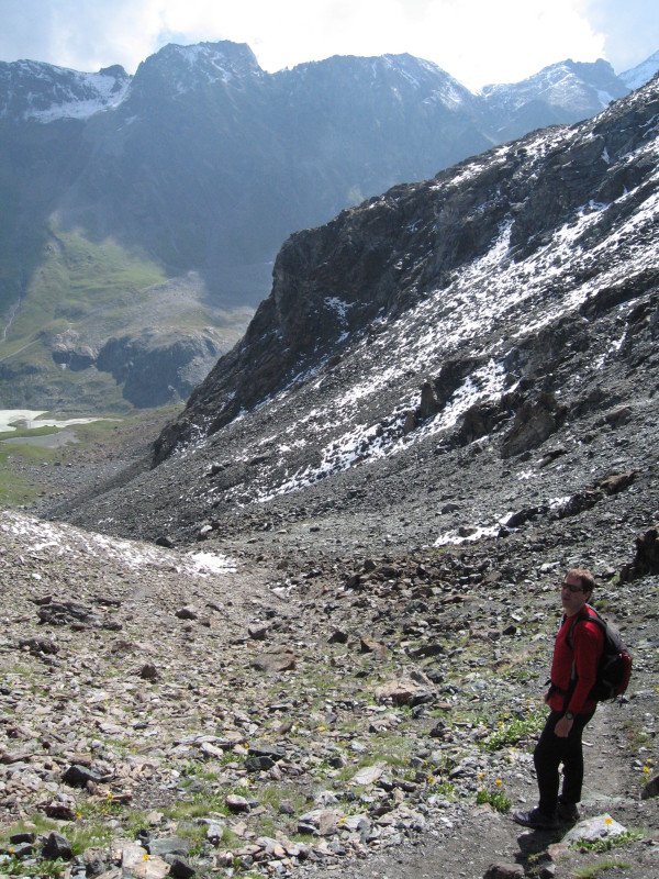
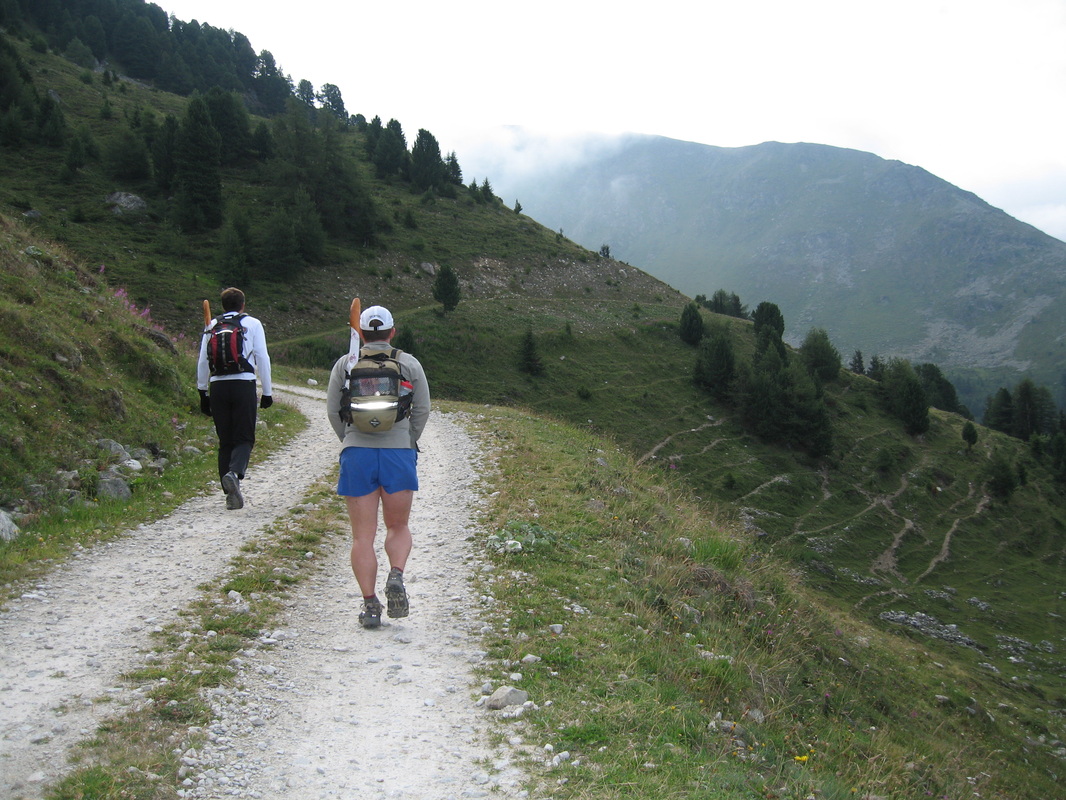
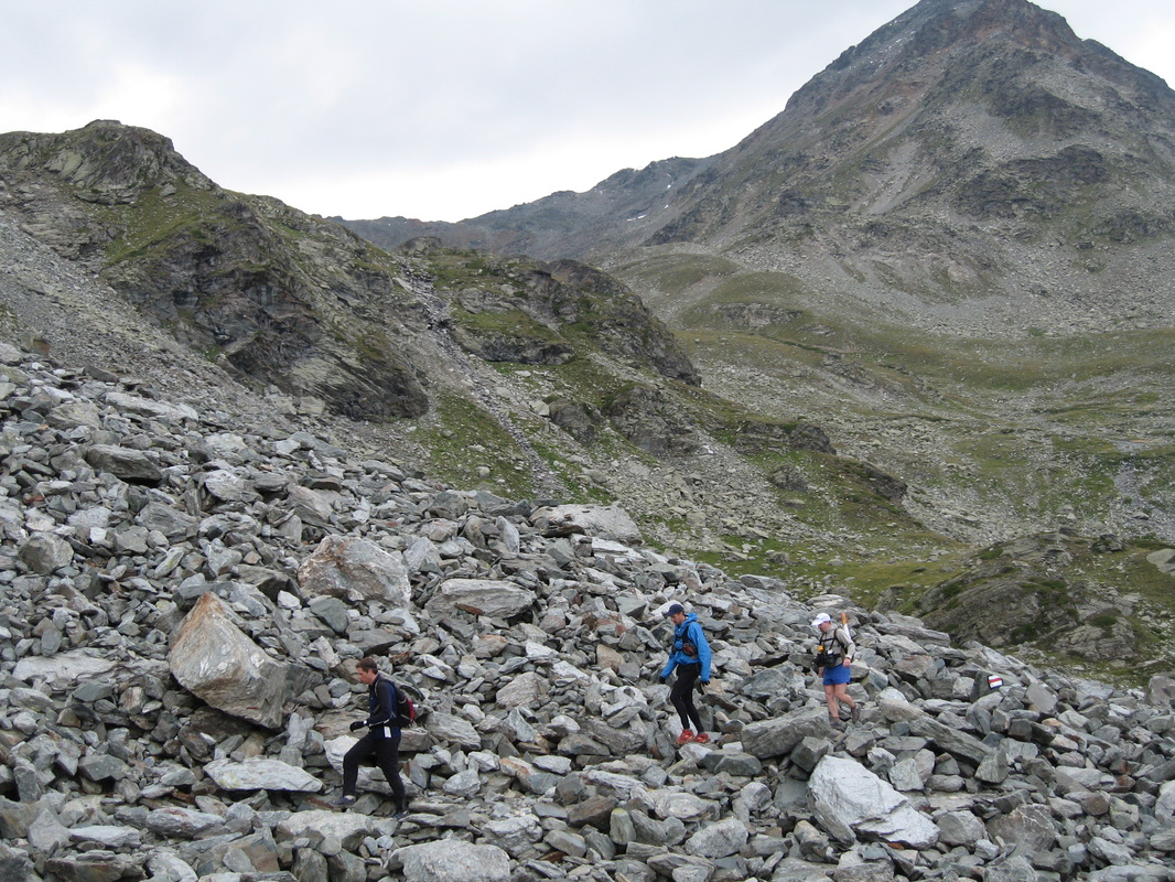
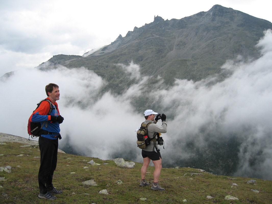
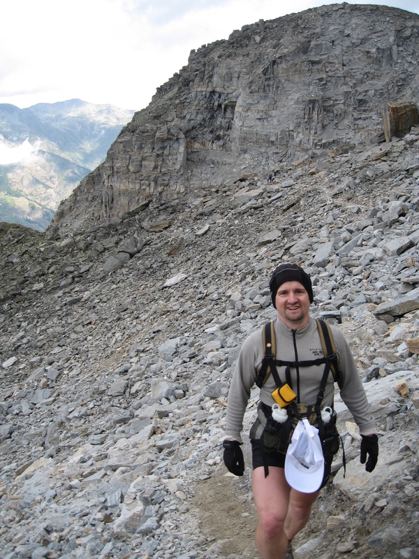
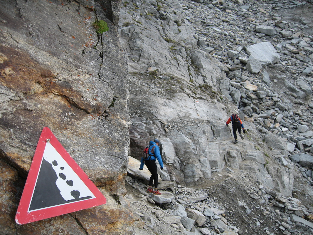
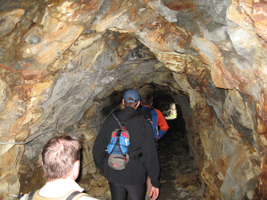
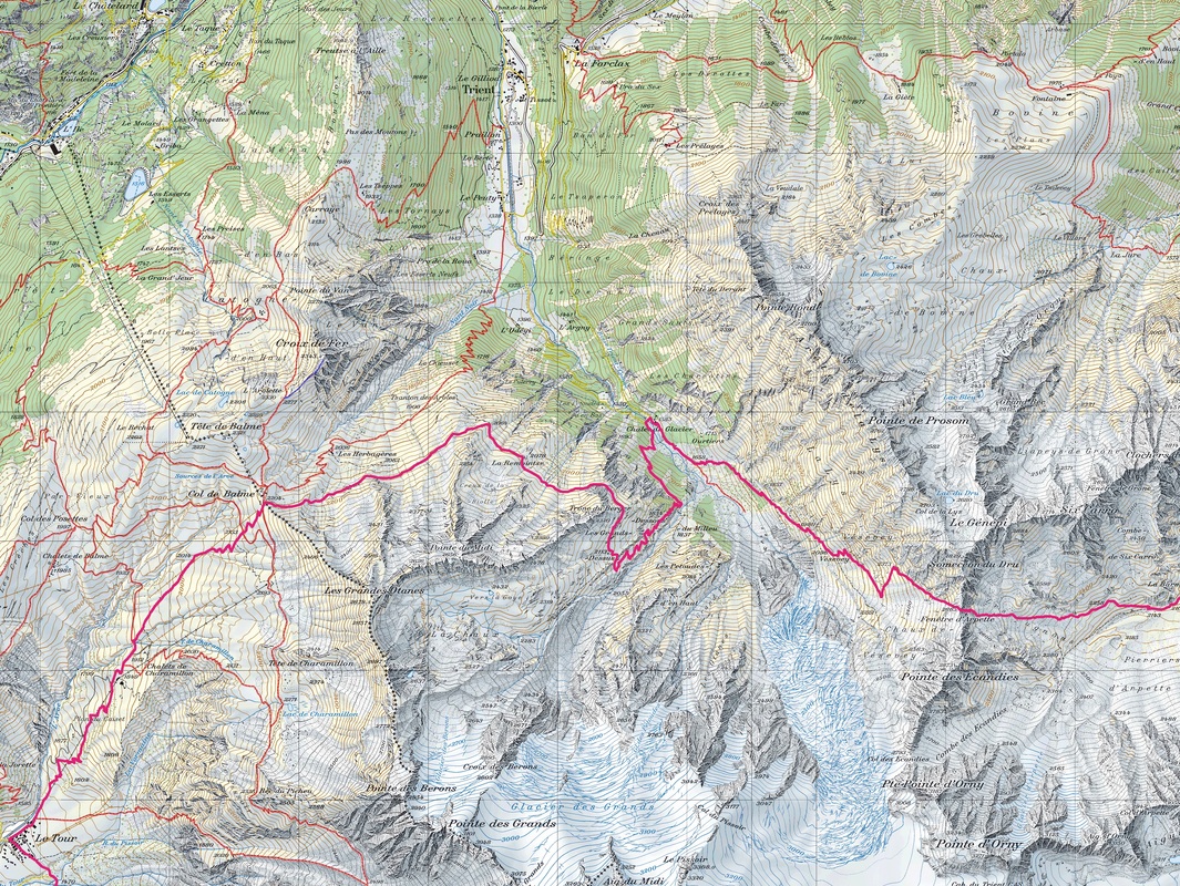
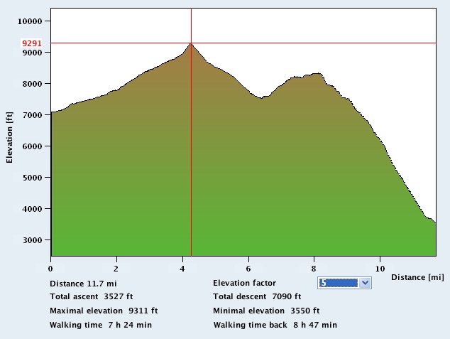
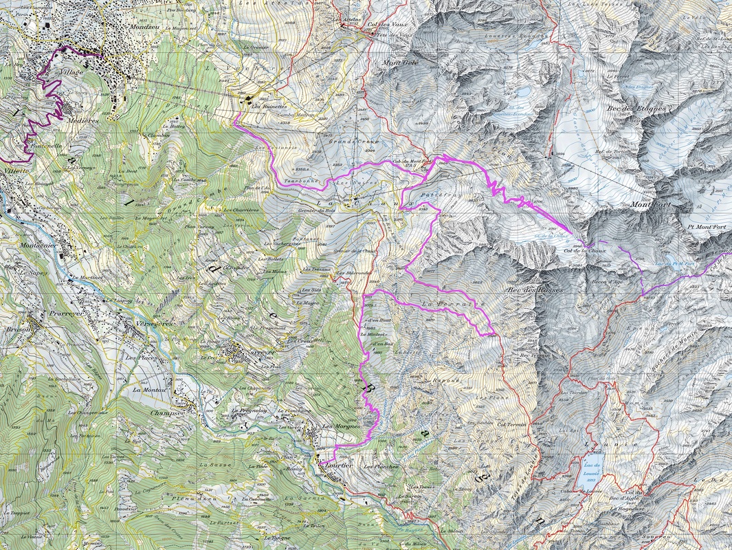
Our route followed much of the low/hiker's Haute Route: Chamonix - Champex - Verbier - Arolla - Zinal - Grachen - Zermatt. Route specifics are at the bottom of the page under Resources. We followed our route with one exception. At Cab du Mont Fort (day 3) we ran into significant new snow at 8,000'/2,940 m and above. We explained our route to the hut guides and asked about the trail. They were thoughtful for a moment, scanning our ultralight trail-running gear from head to toe, and said, "in those? ...you go up there, you die". Undaunted we decided to climb the Col, negotiating snowy, slippery boulders, we made slow progress to nearly the summit. But after considering the possibility of encountering more snow and postholing across the Grand Desert Glacier, we made the difficult decision to re-route to Lourtier at lower elevation instead.
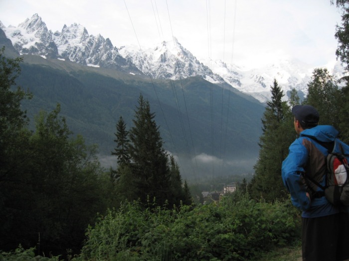
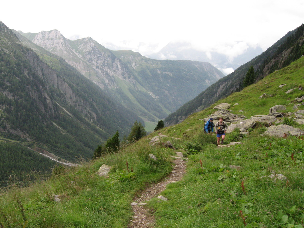
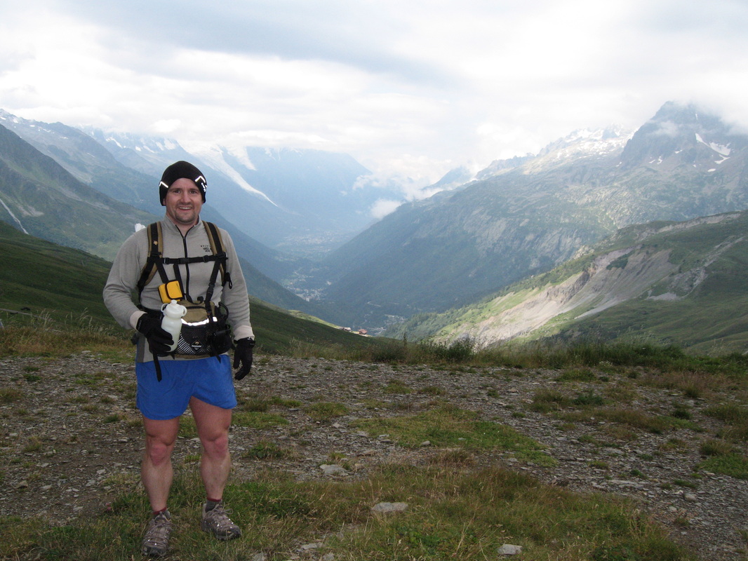
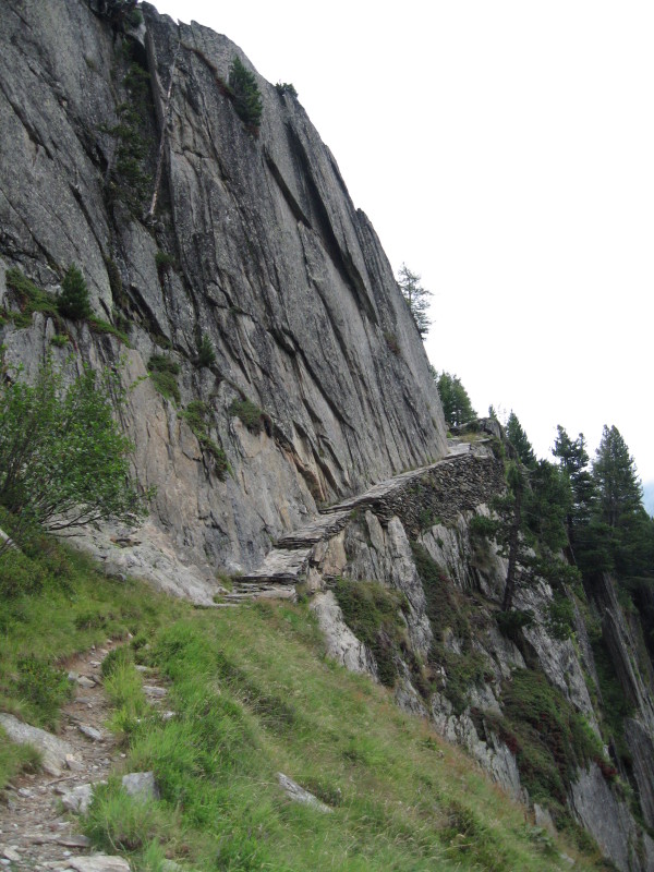
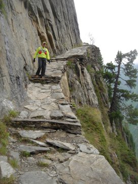
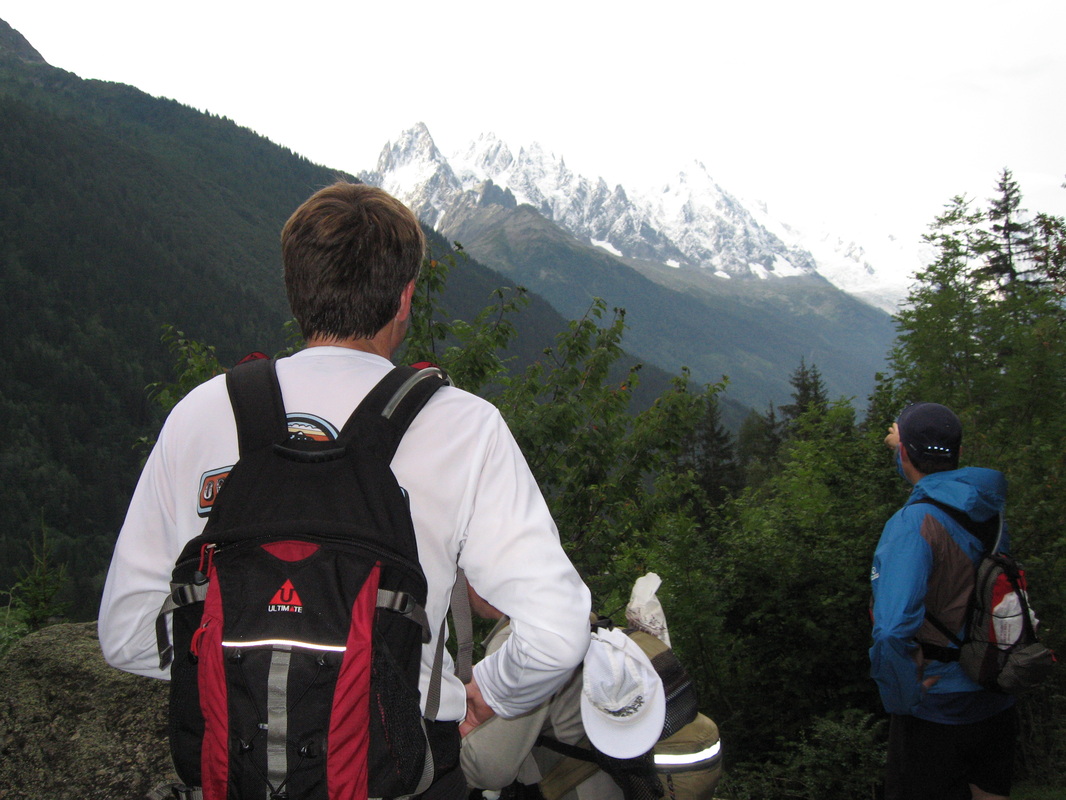
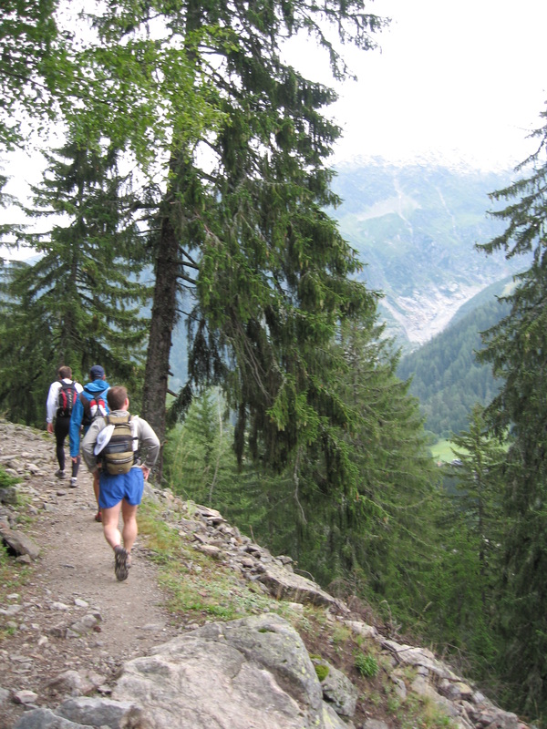
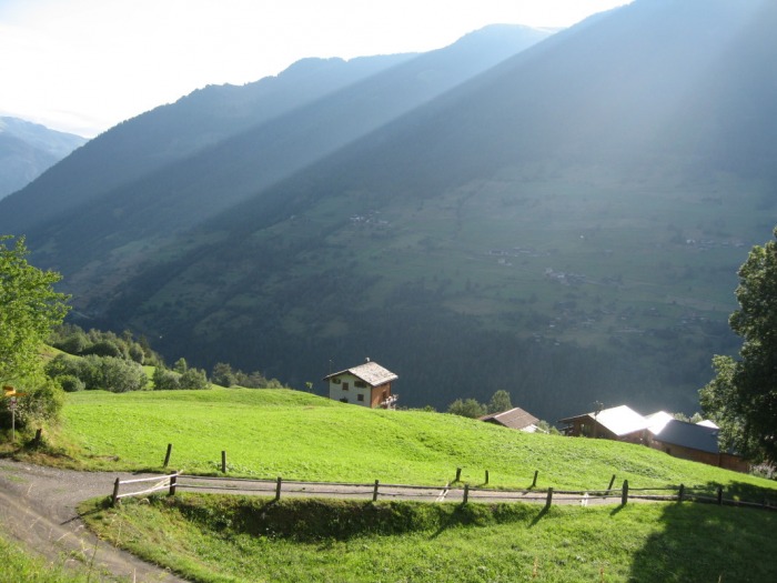
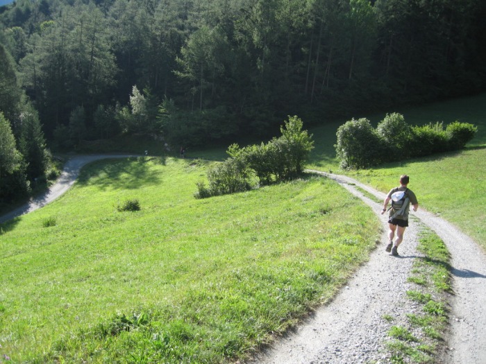
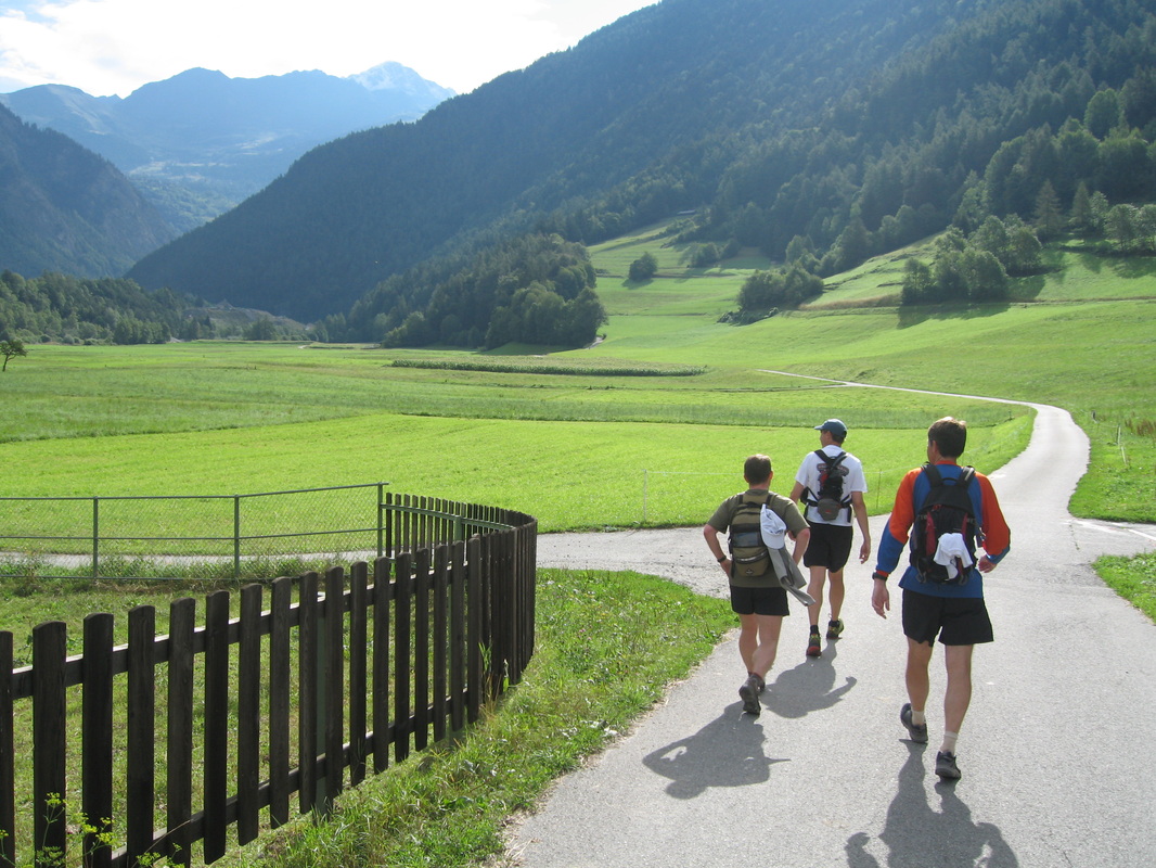
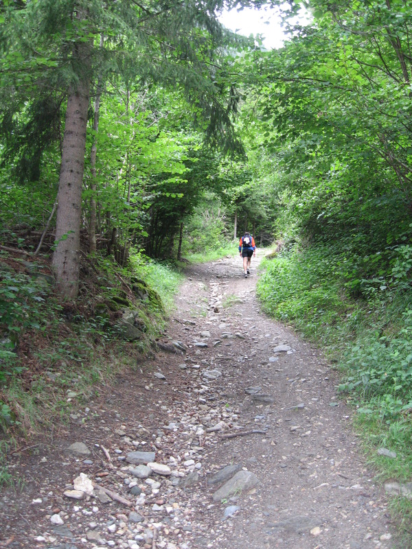
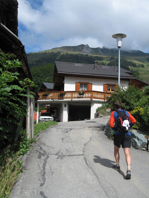
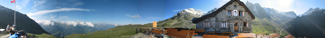
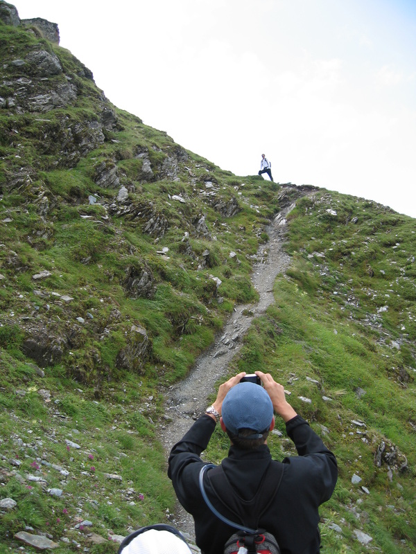
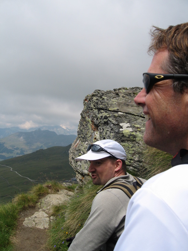
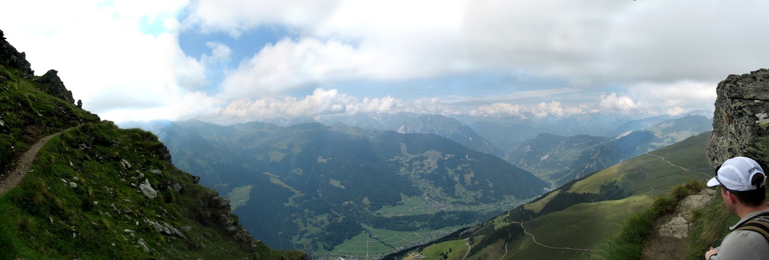
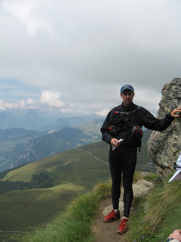
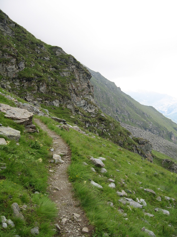
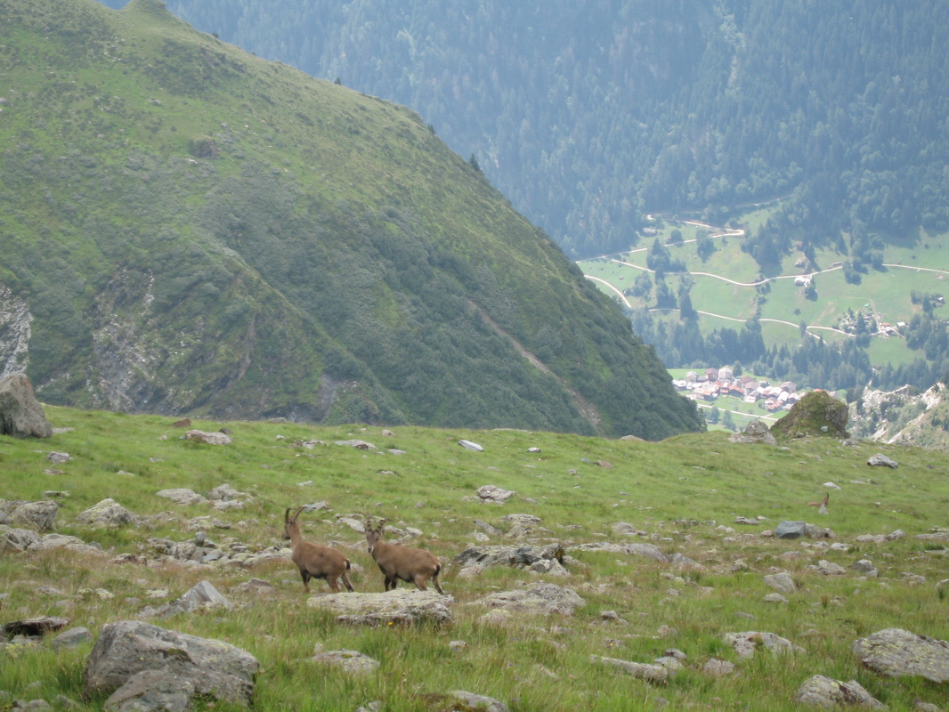
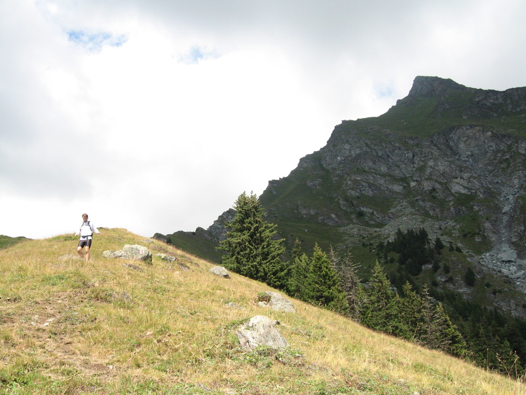
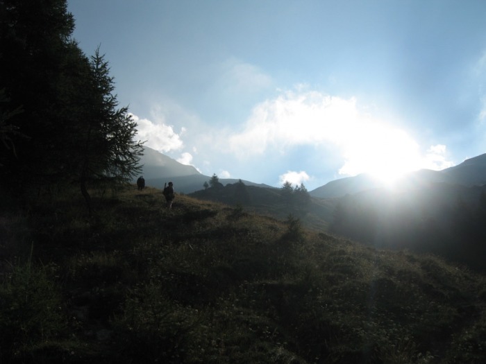
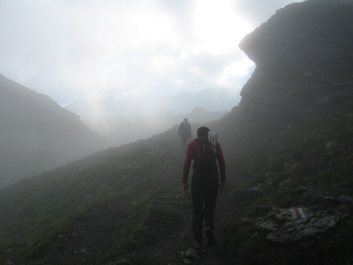
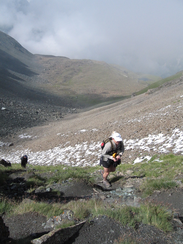
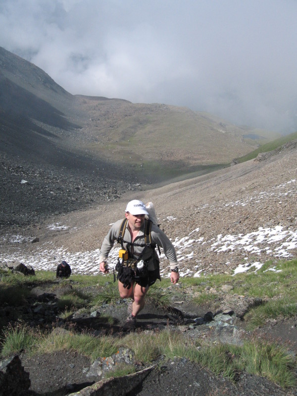
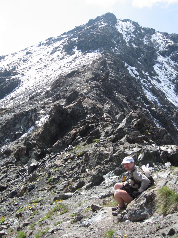
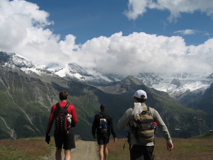
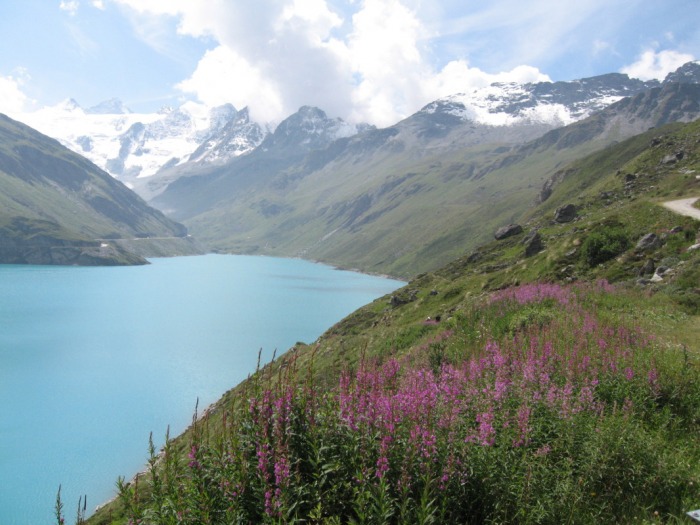
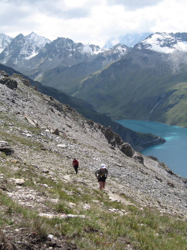
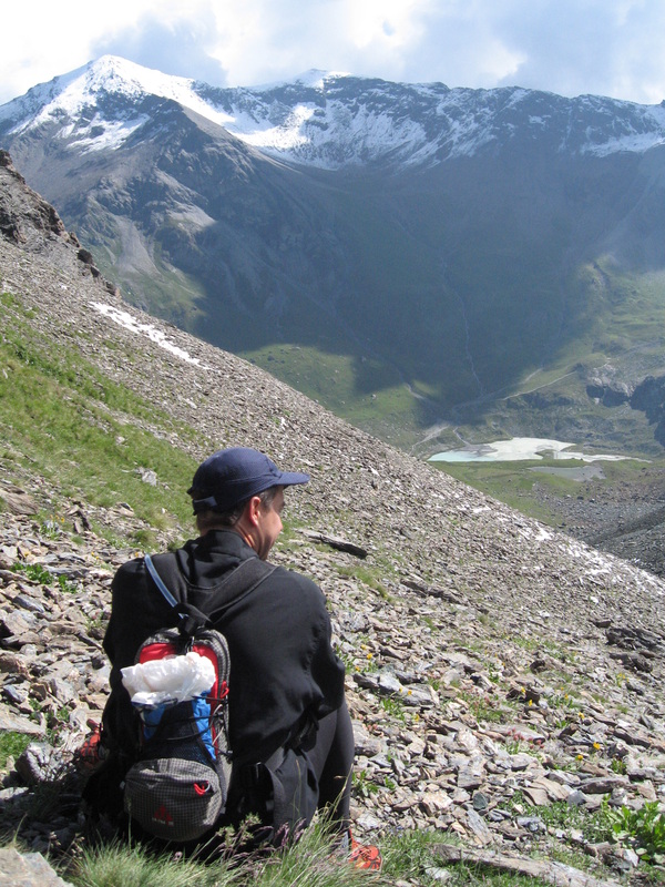
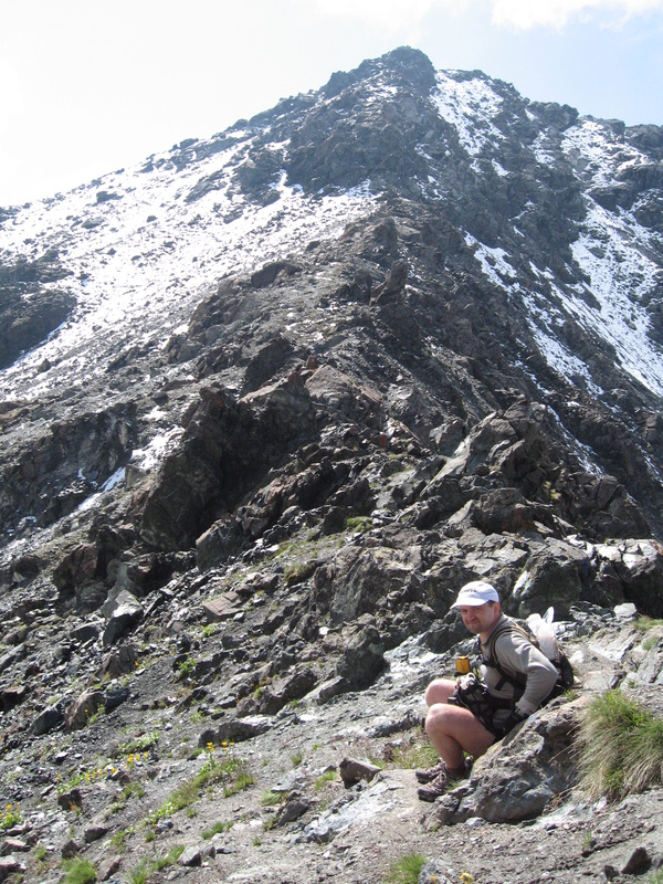
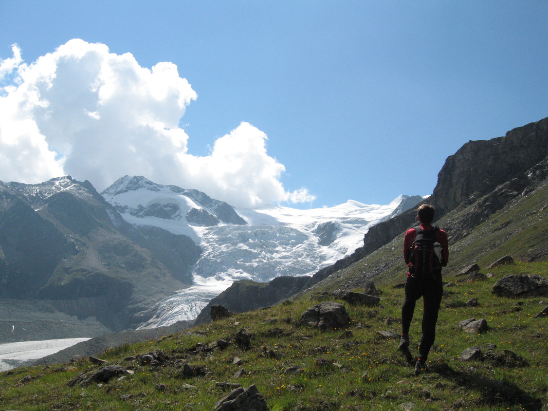
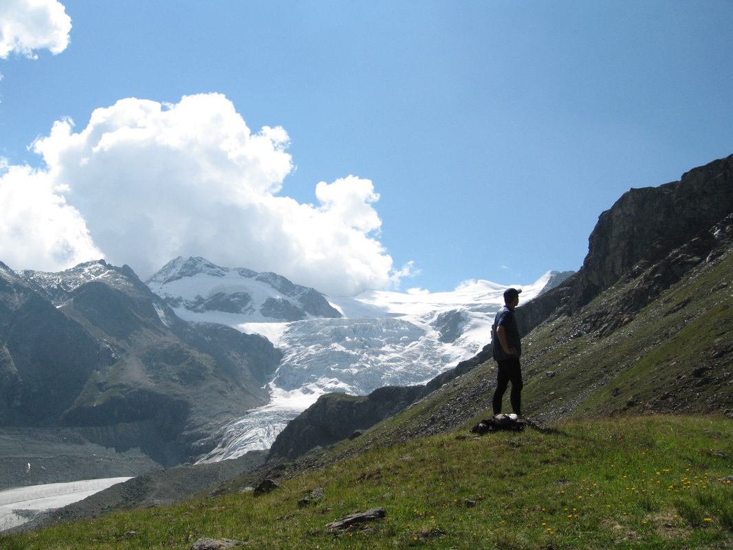
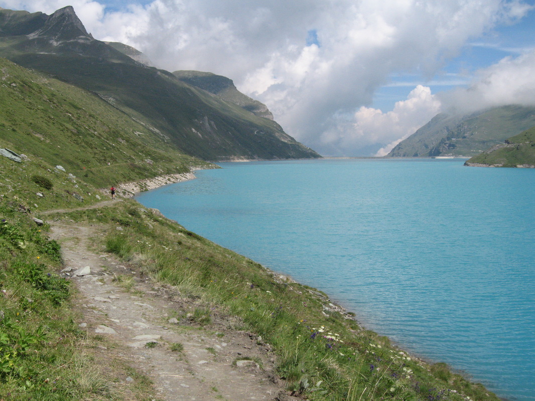
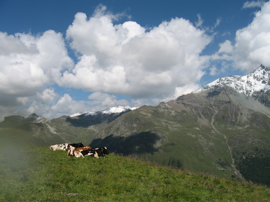
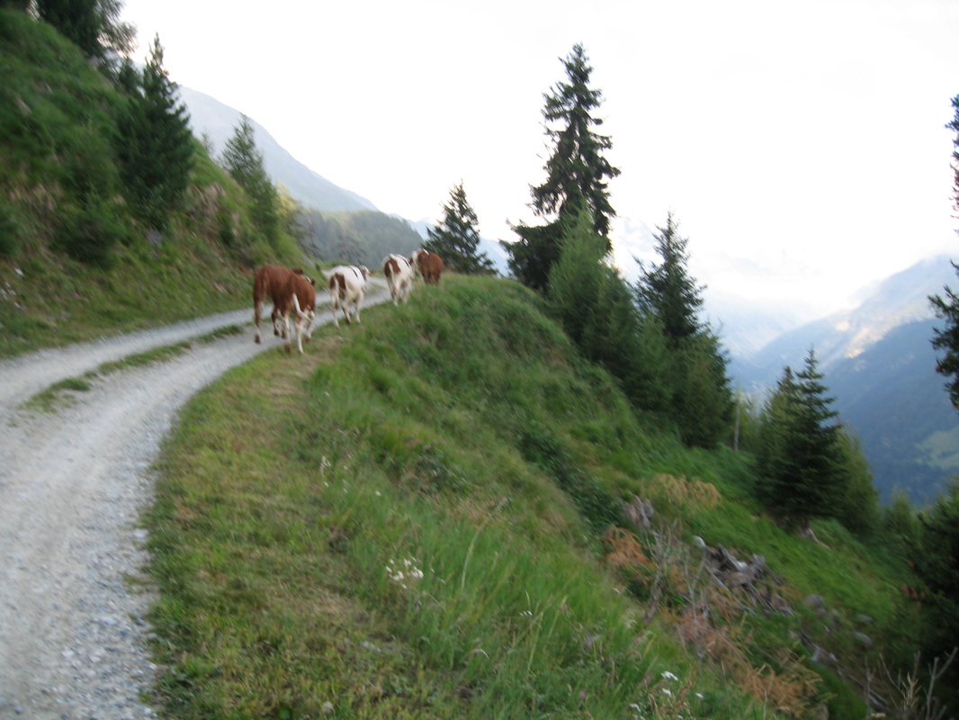
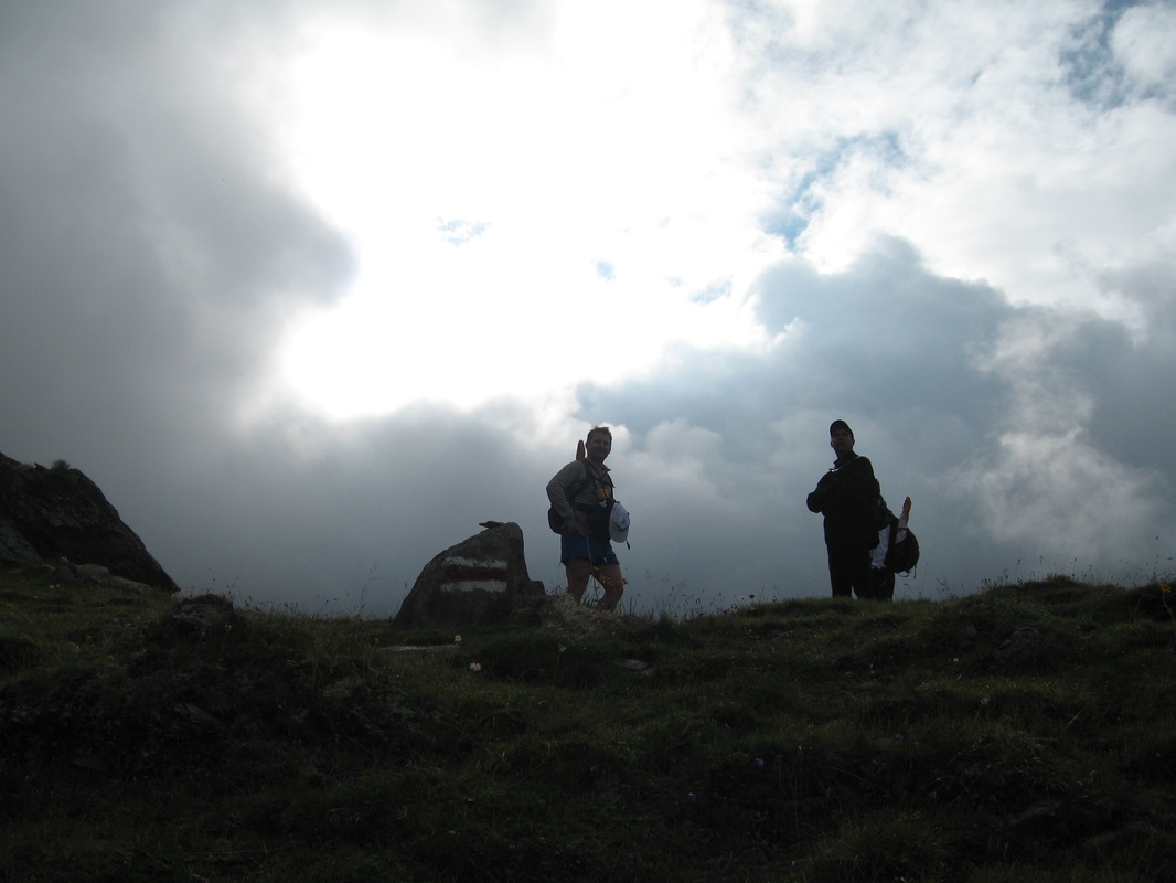
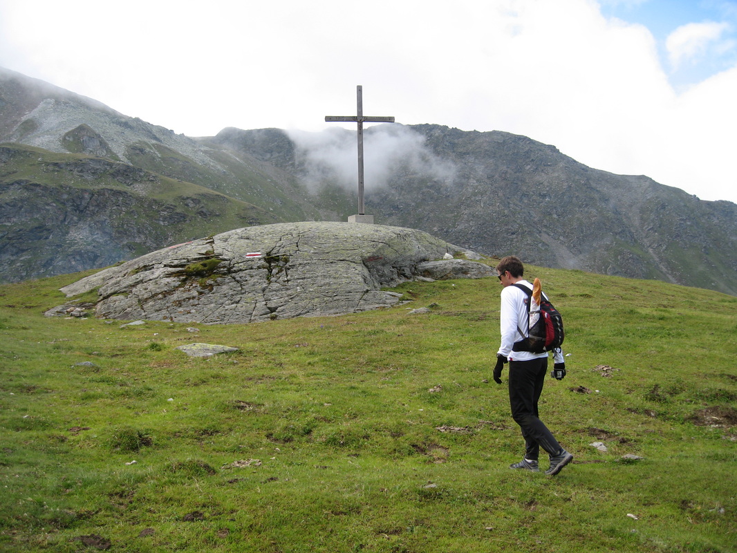
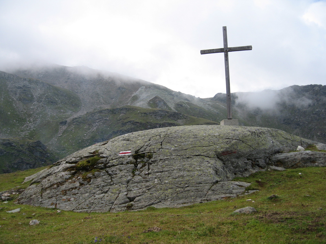
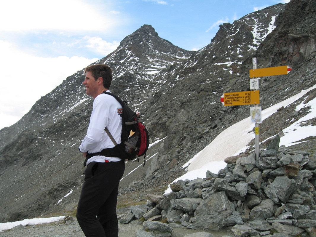
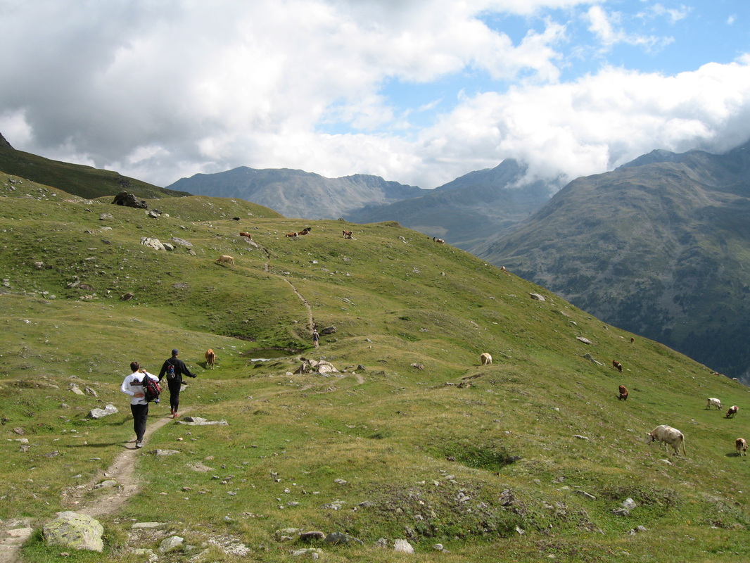
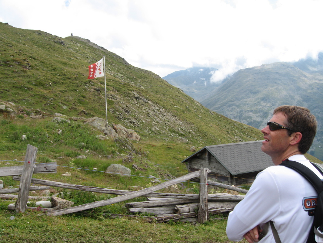
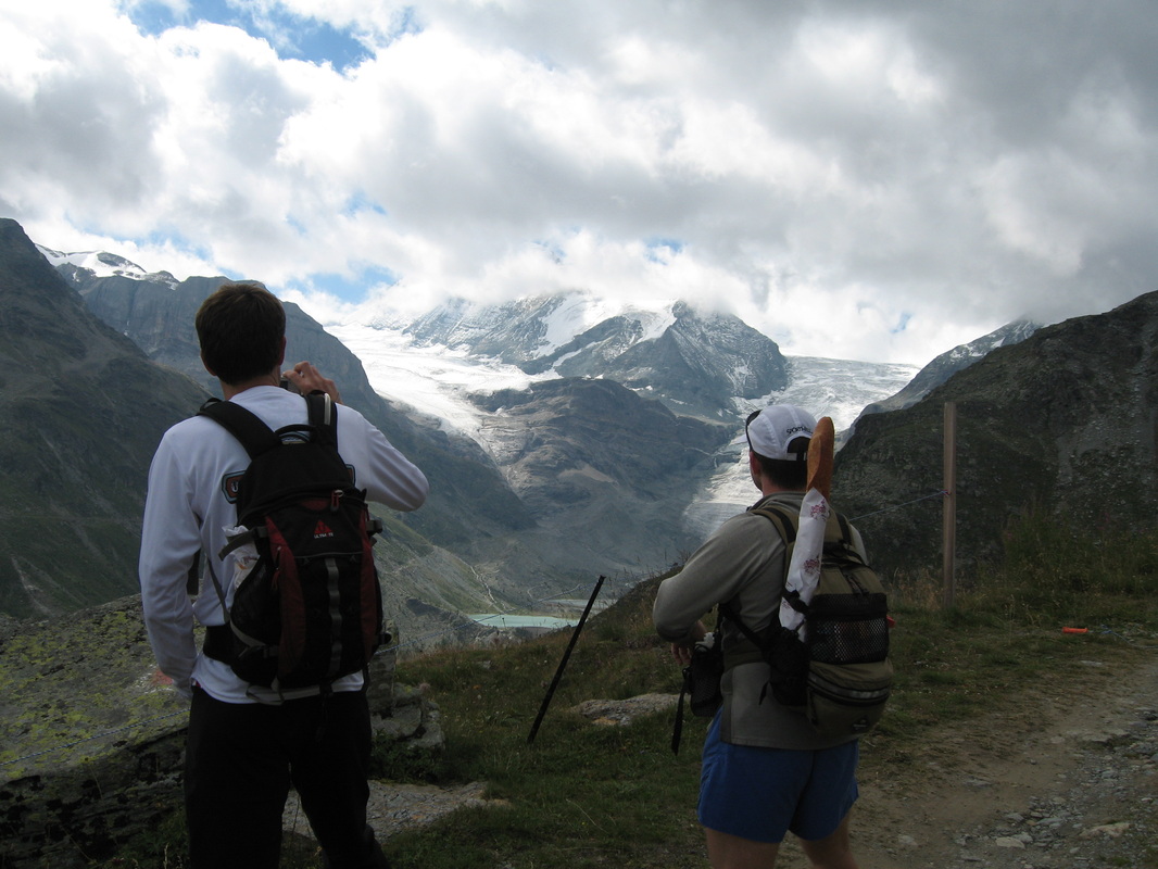
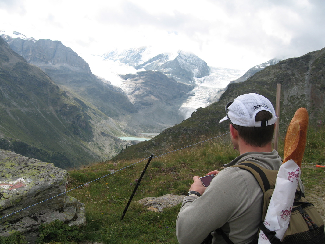
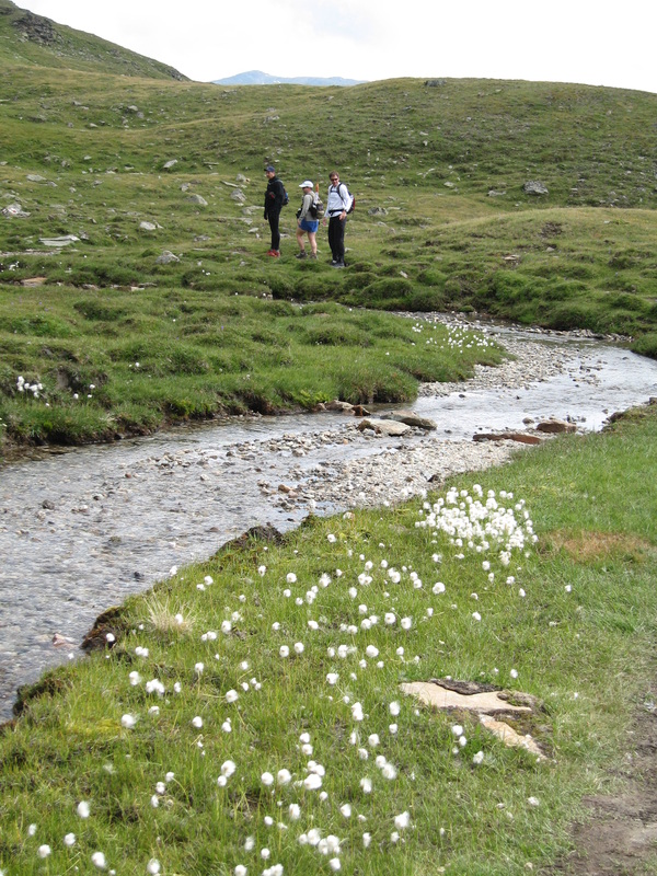
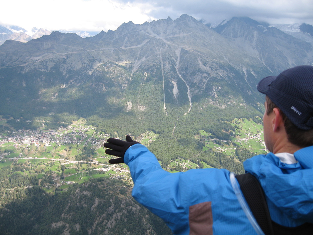
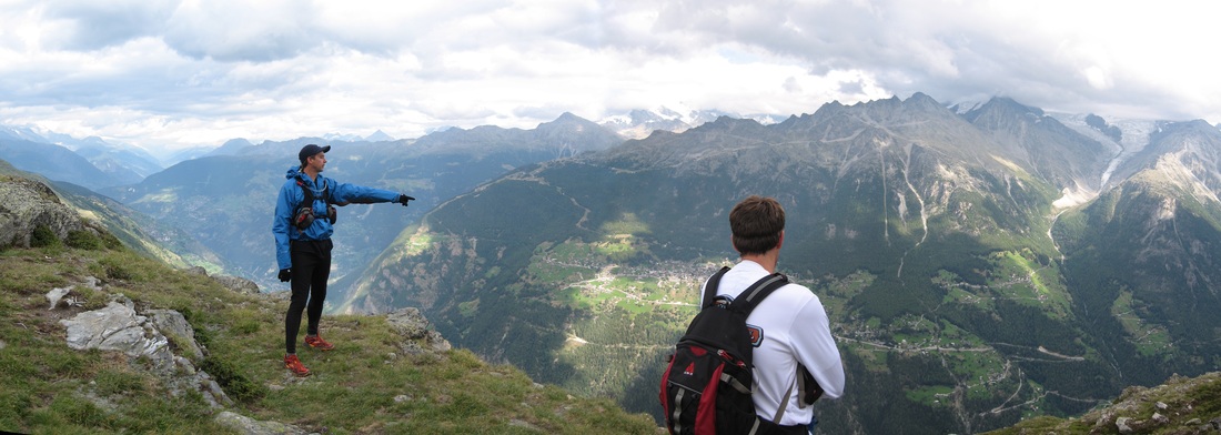
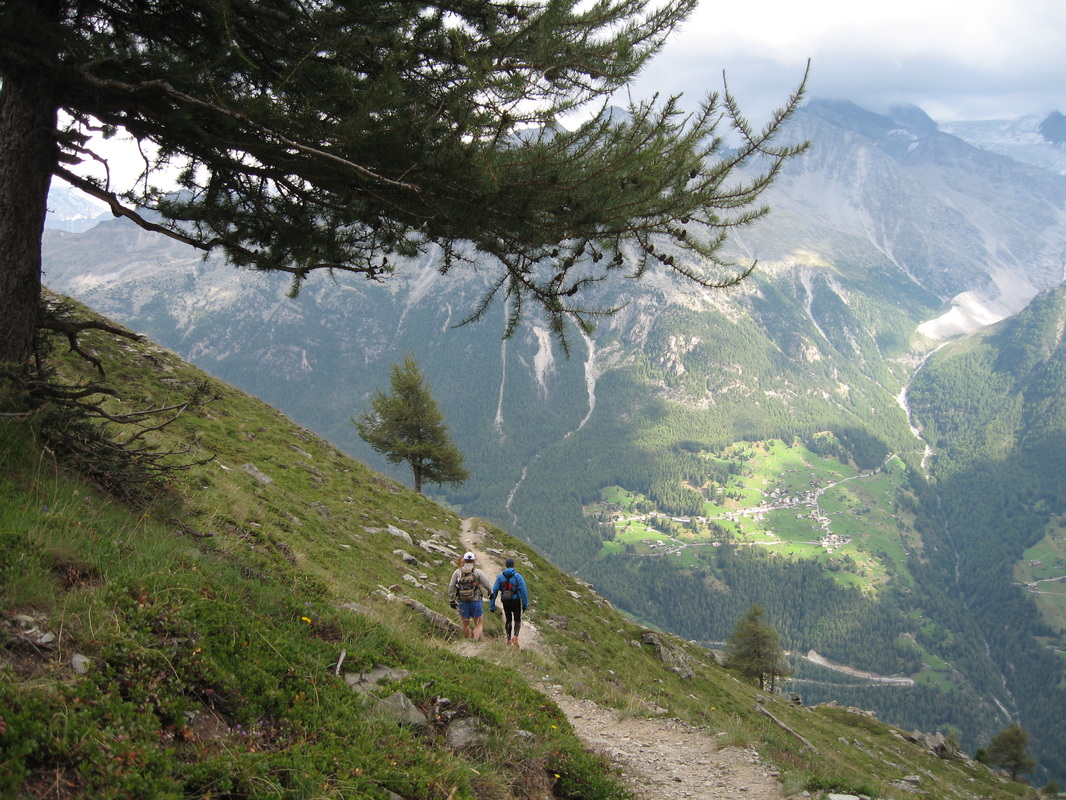
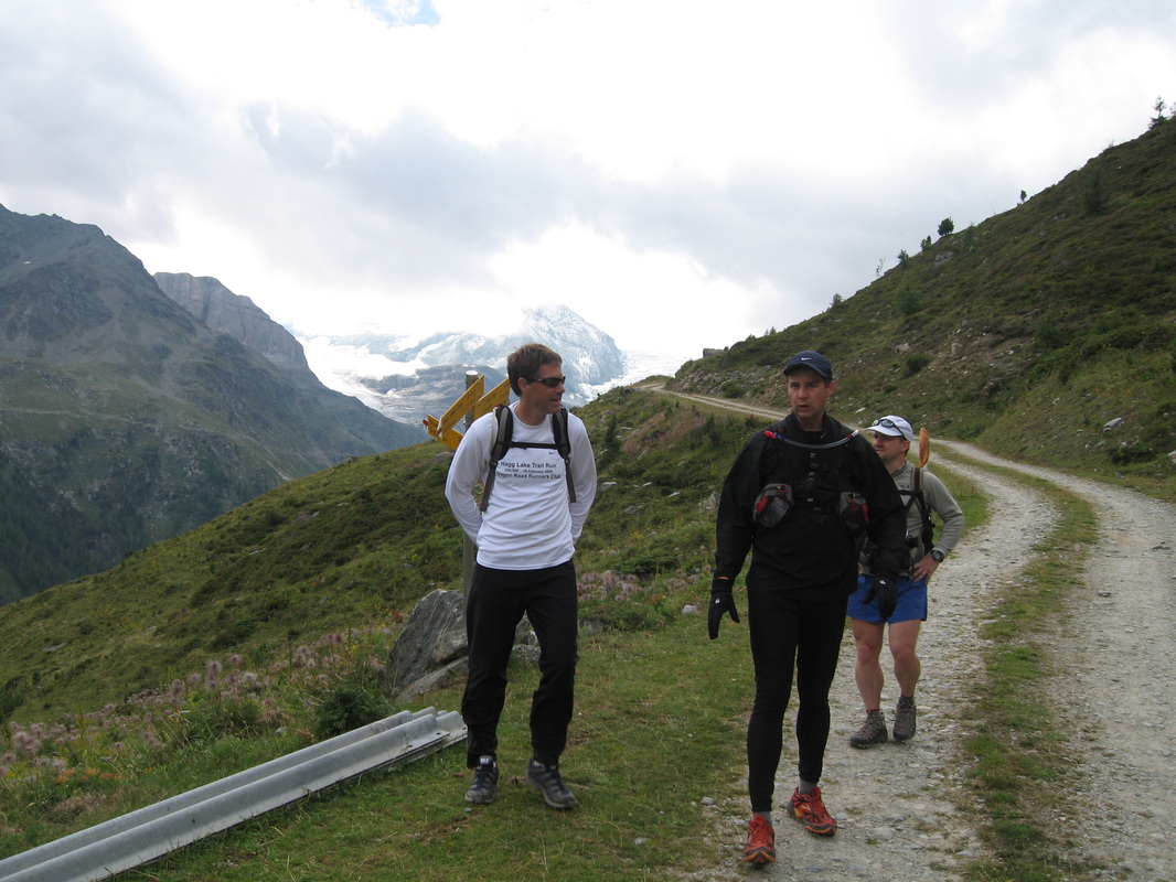
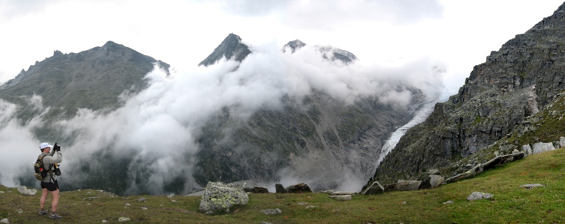
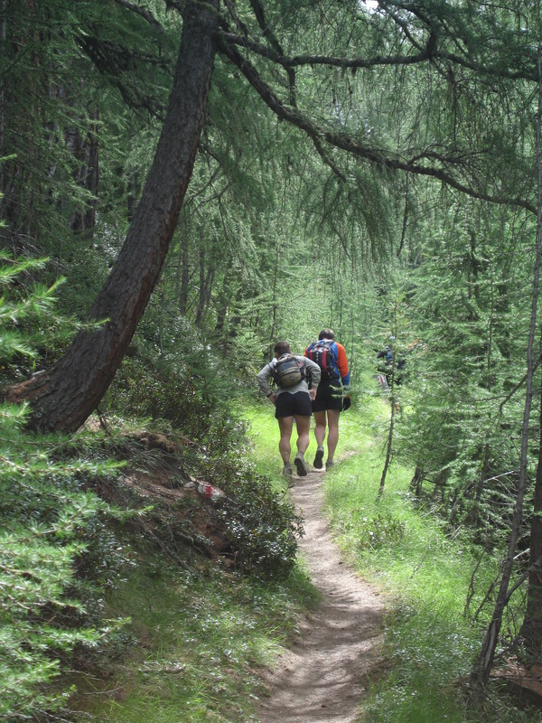
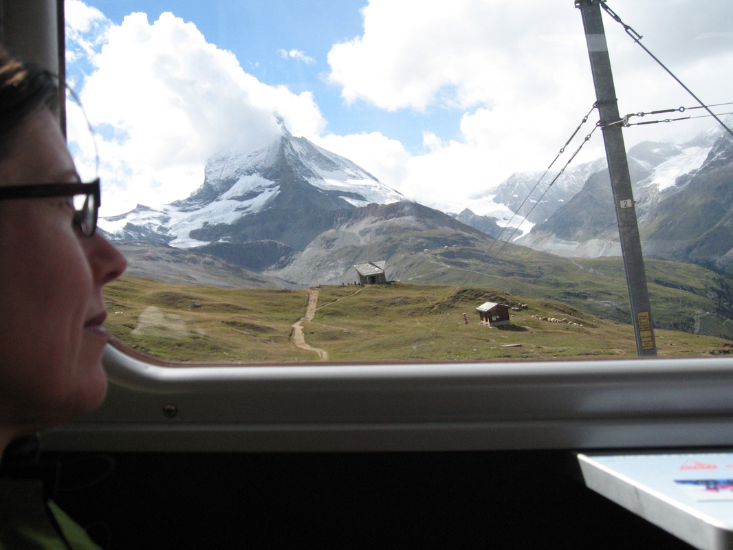
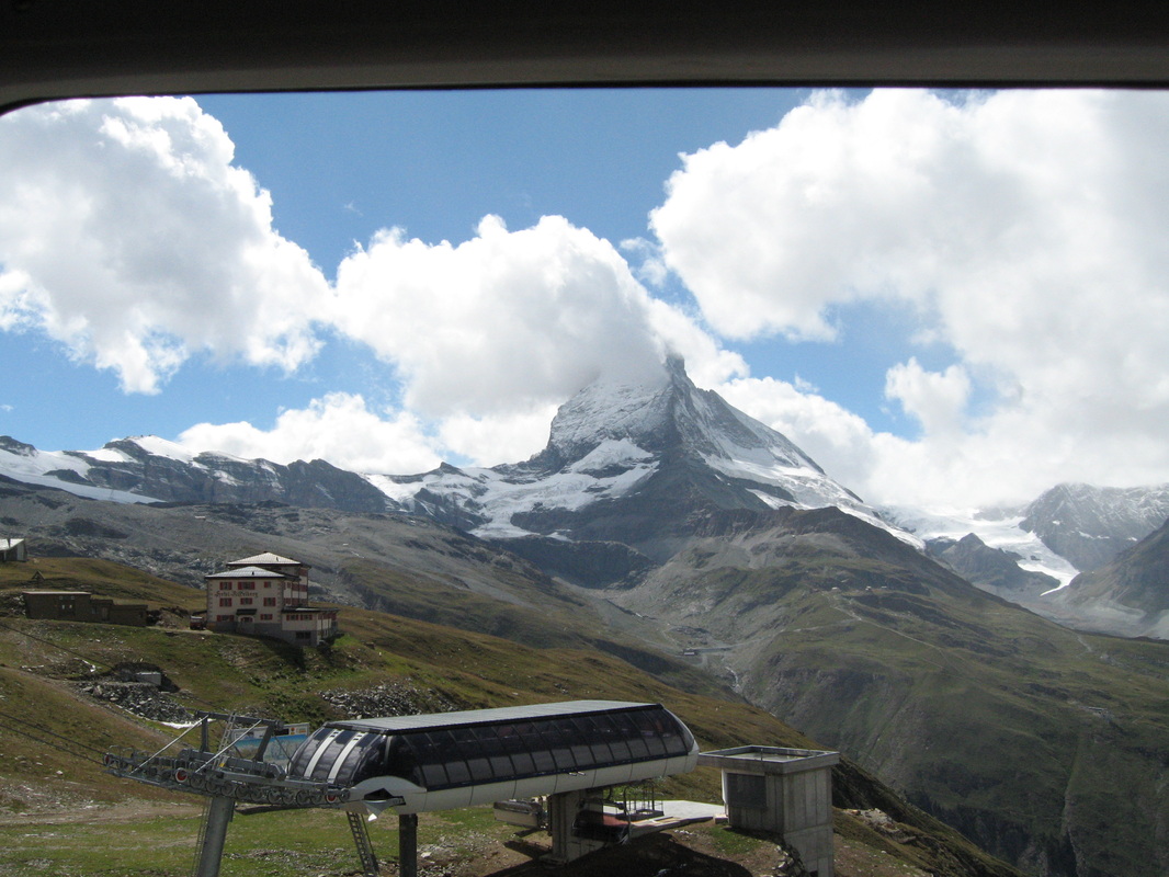
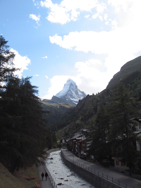
Switzerland: amazing, spectacular views from the trail so breath-taking it was like flying.
All photographs (C) copyright Jeff Maurer, Cathy Maurer, Scott Diamond. All rights reserved.
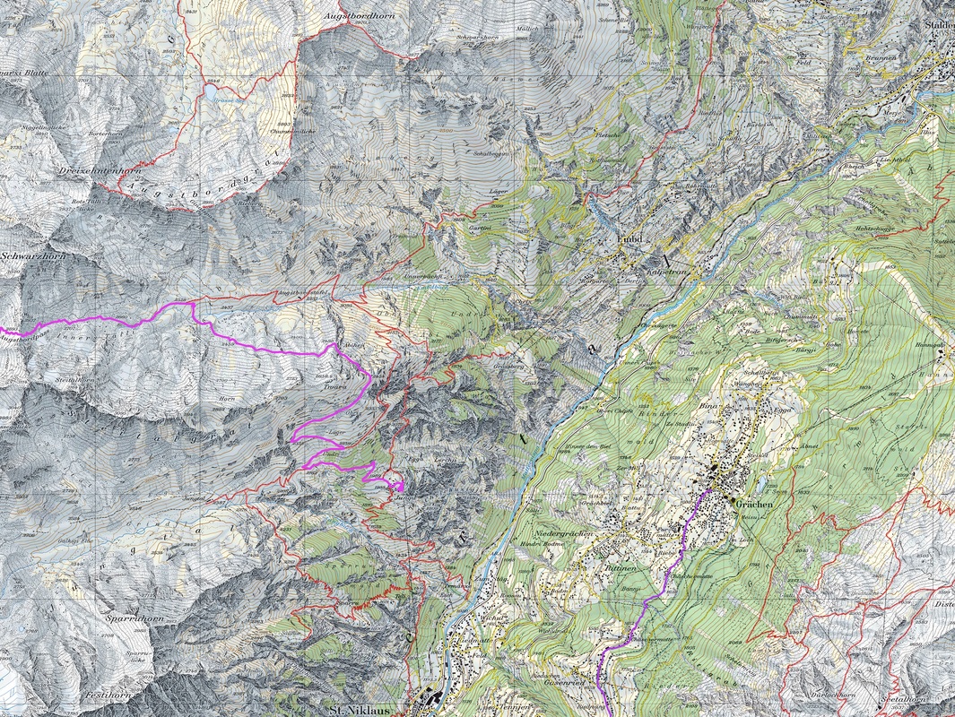
Route/itinerary courtesy of Bill Sundemeier
It was an incredible week. Eye-shatteringly beautiful terrain, a trip we will never forget and one that I would love to reprise. We flew from PDX to CDG, then in to Geneva. Rented a van and drove to Chamonix, where we spent the next two nights prepping for the run. After finishing the run in Zermatt we flew to Paris for two nights, staying across from Notre Dame, and then returned to Portland. During our departure from Charles De Gaulle we got stuck in the elevator for an hour. After pressing the intercom to request help the attendant on the other end said, "We are sending help. Do you speak French?" "No", we replied. "'tis a pity...", was the answer.
Our route followed much of the low/hiker's Haute Route: Chamonix - Champex - Verbier - Arolla - Zinal - Grachen - Zermatt. Route specifics are at the bottom of the page under Resources. We followed our route with one exception. At Cab du Mont Fort (day 3) we ran into significant new snow at 8,000'/2,940 m and above. We explained our route to the hut guides and asked about the trail. They were thoughtful for a moment, scanning our ultralight trail-running gear from head to toe, and said, "in those? ...you go up there, you die". Undaunted we decided to climb the Col, negotiating snowy, slippery boulders, we made slow progress to nearly the summit. But after considering the possibility of encountering more snow and postholing across the Grand Desert Glacier, we made the difficult decision to re-route to Lourtier at lower elevation instead.
Switzerland: amazing, spectacular views from the trail so breath-taking it was like flying.
All photographs (C) copyright Jeff Maurer, Cathy Maurer, Scott Diamond. All rights reserved.
Route/itinerary courtesy of Bill Sundemeier
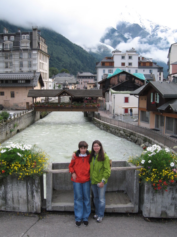
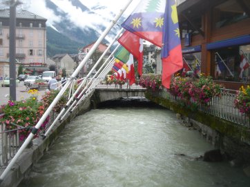
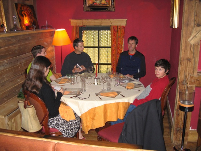
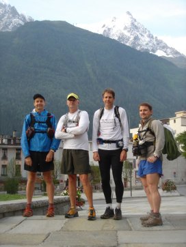
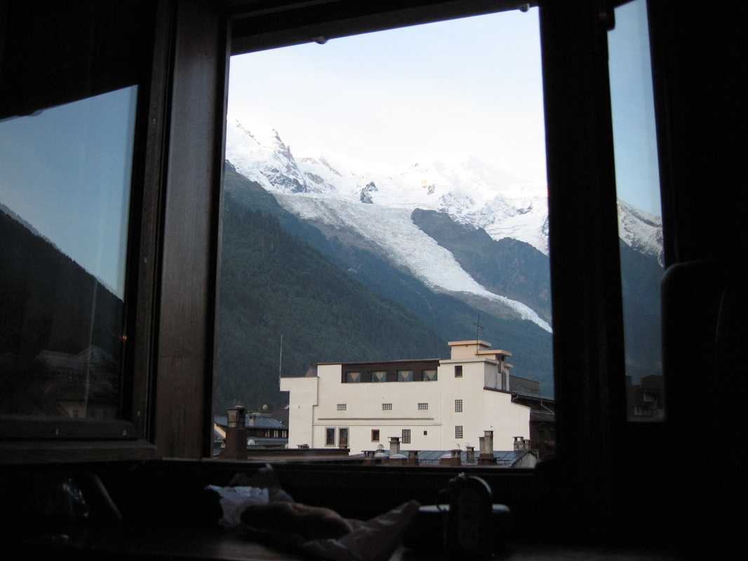
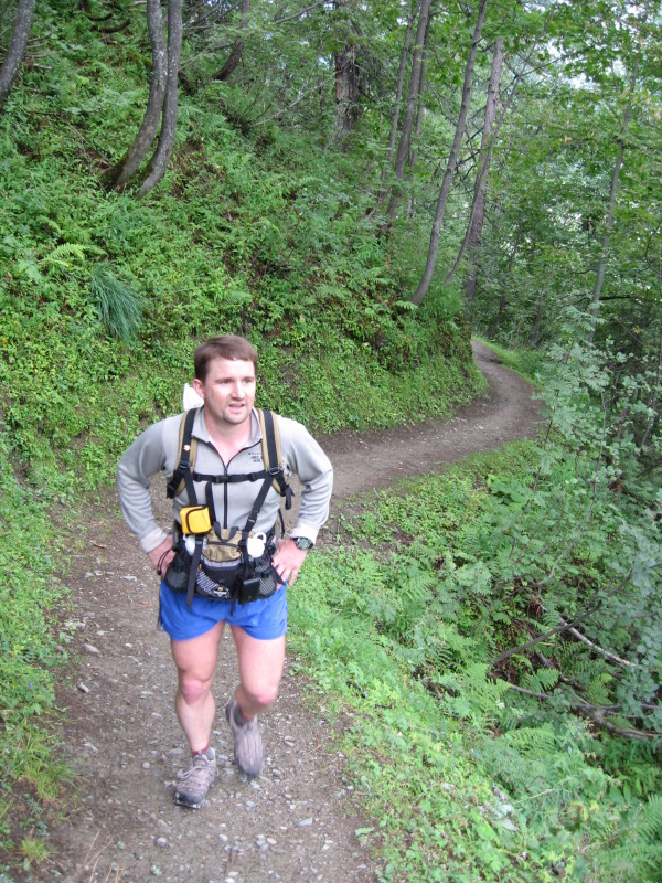
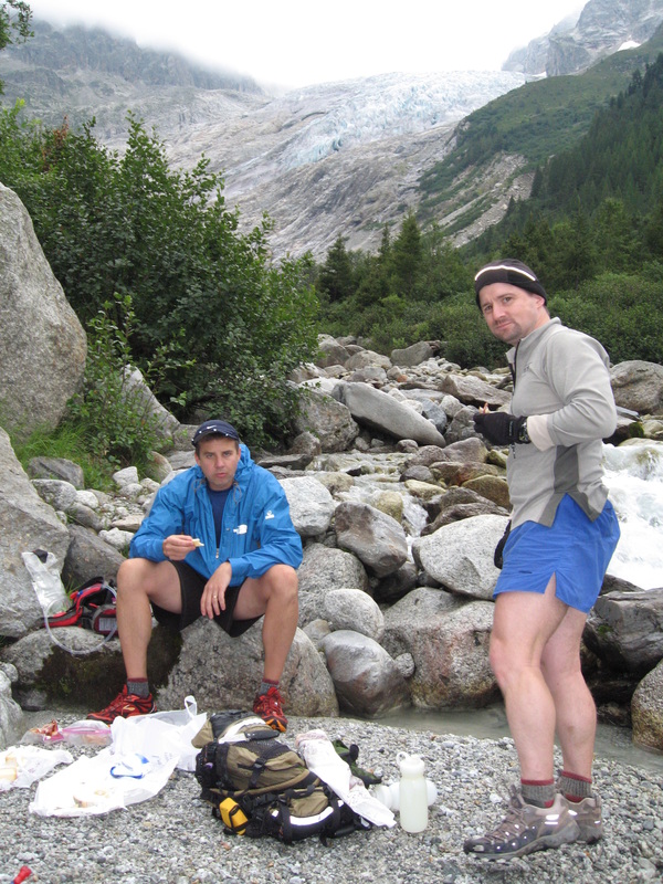
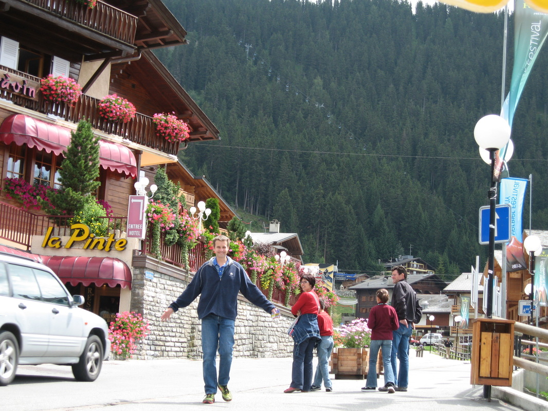
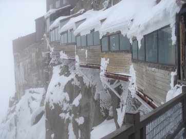
Chamonix Arrival
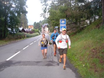

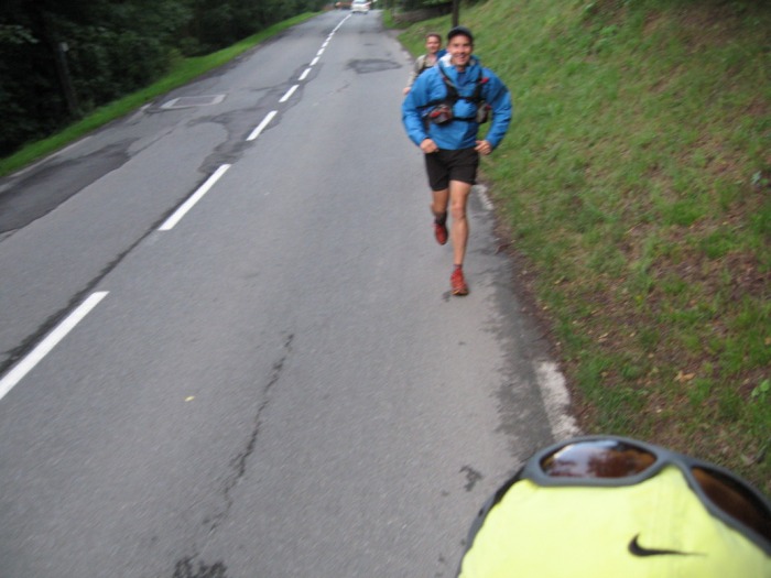
Day 1: Chamonix to Champex
20 miles - 5,000' elevation gain


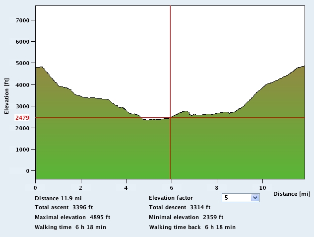
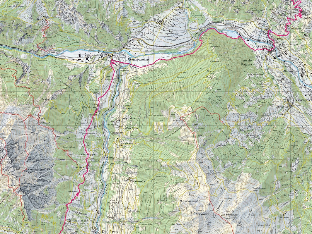
Day 2: Champex to Verbier (via Sembrancher)
11 miles - 2,500' elevation gain


Day 3: Verbier to La Sage (really to Lourtier due to snow)
17 miles - 5,000' elevation gain


Day 4: La Sage to Zinal
20 miles - 7,500' elevation gain


Day 5: Zinal to Grachen
11 miles - 9,000' elevation gain


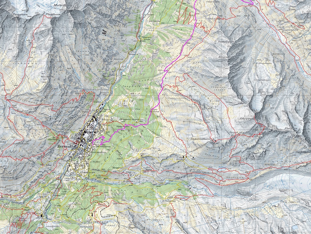
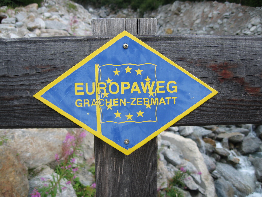
Day 6: Grachen to Zermatt (Europaweg)
21 miles - 3,500' elevation gain


Day 7: Gornergracht (Sight-seeing)


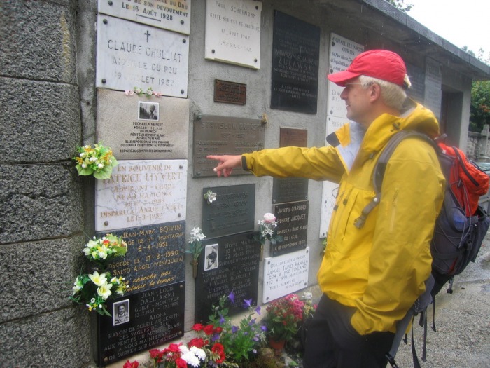
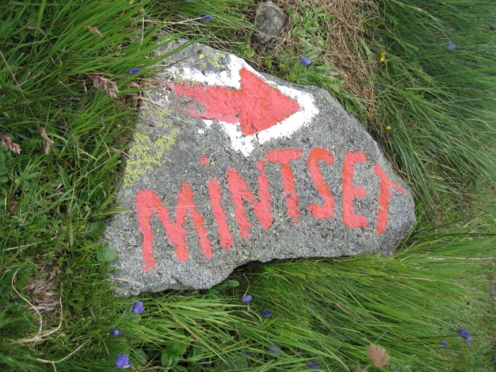
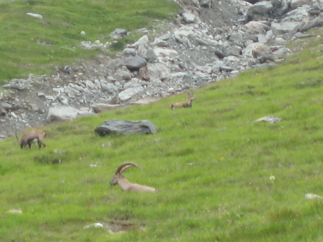
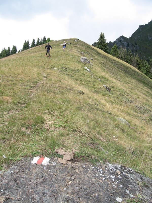
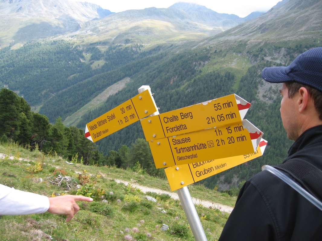
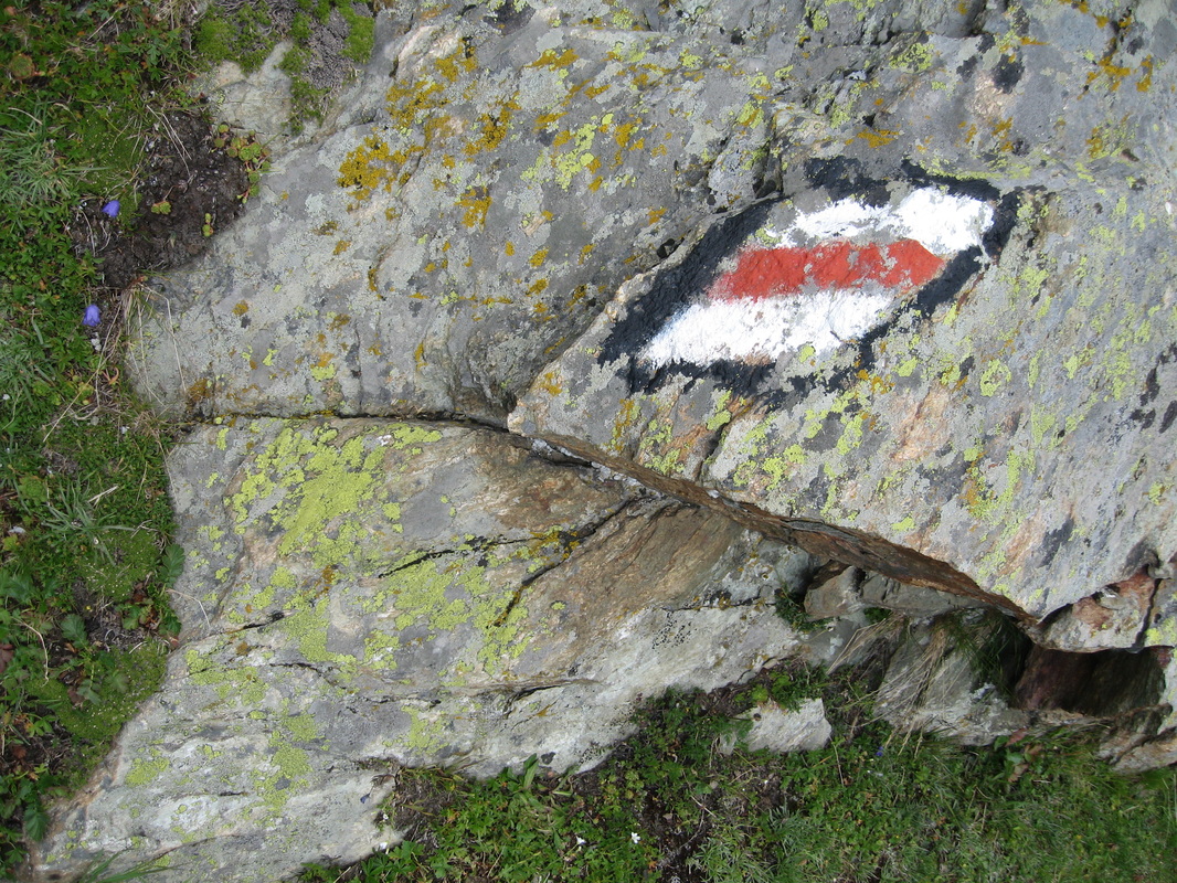
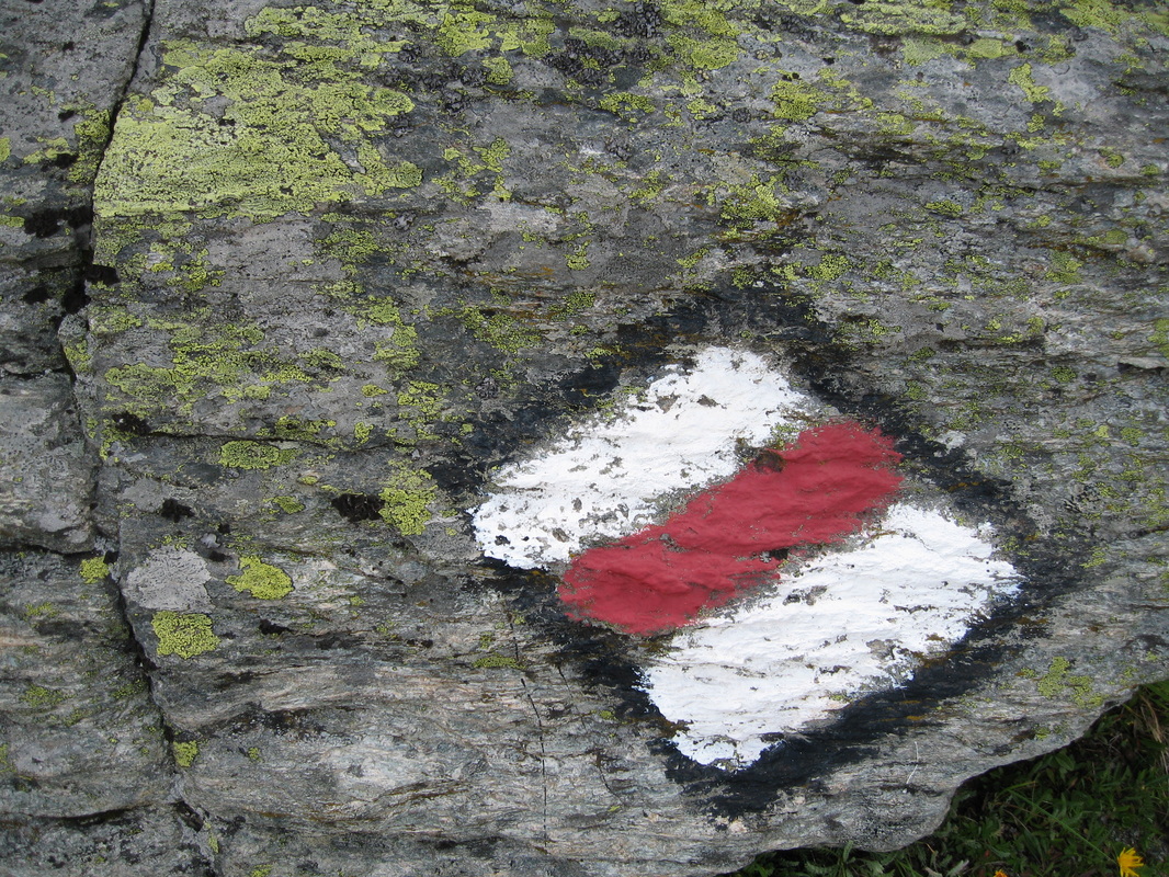
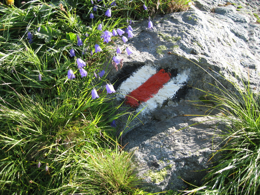
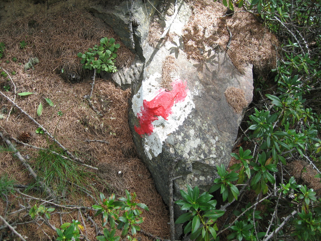
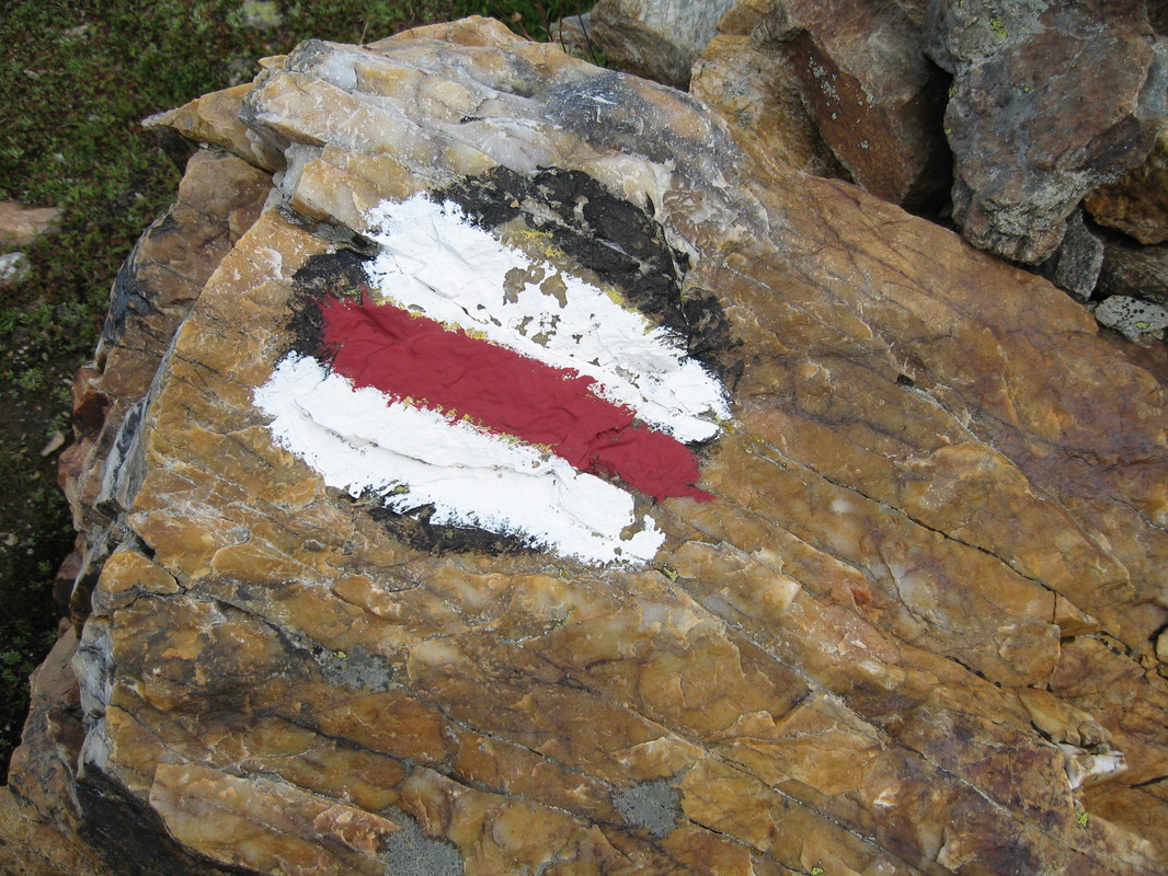
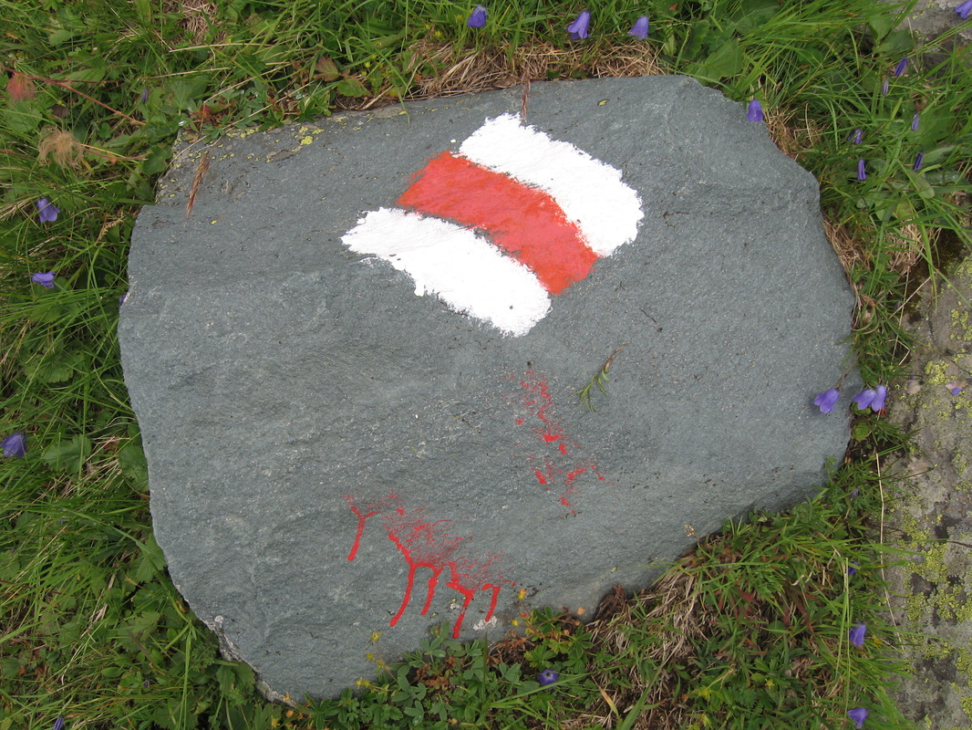
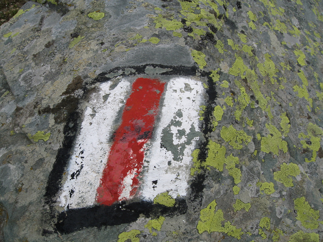
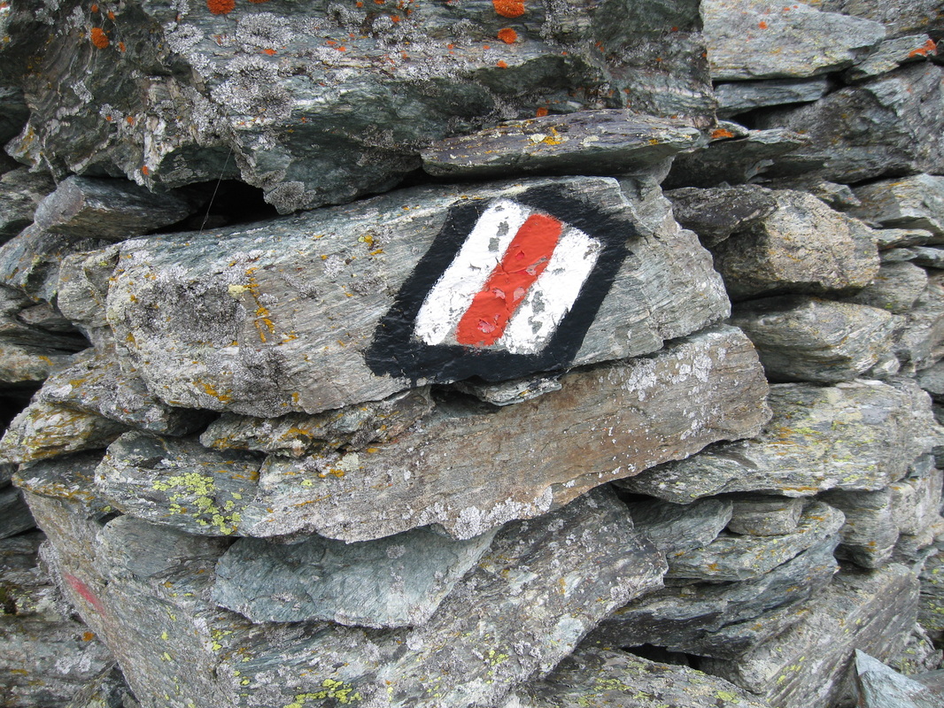
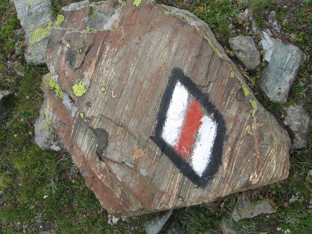
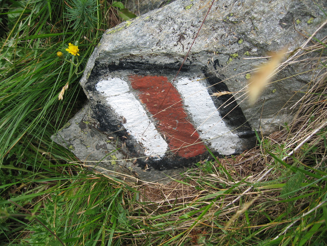
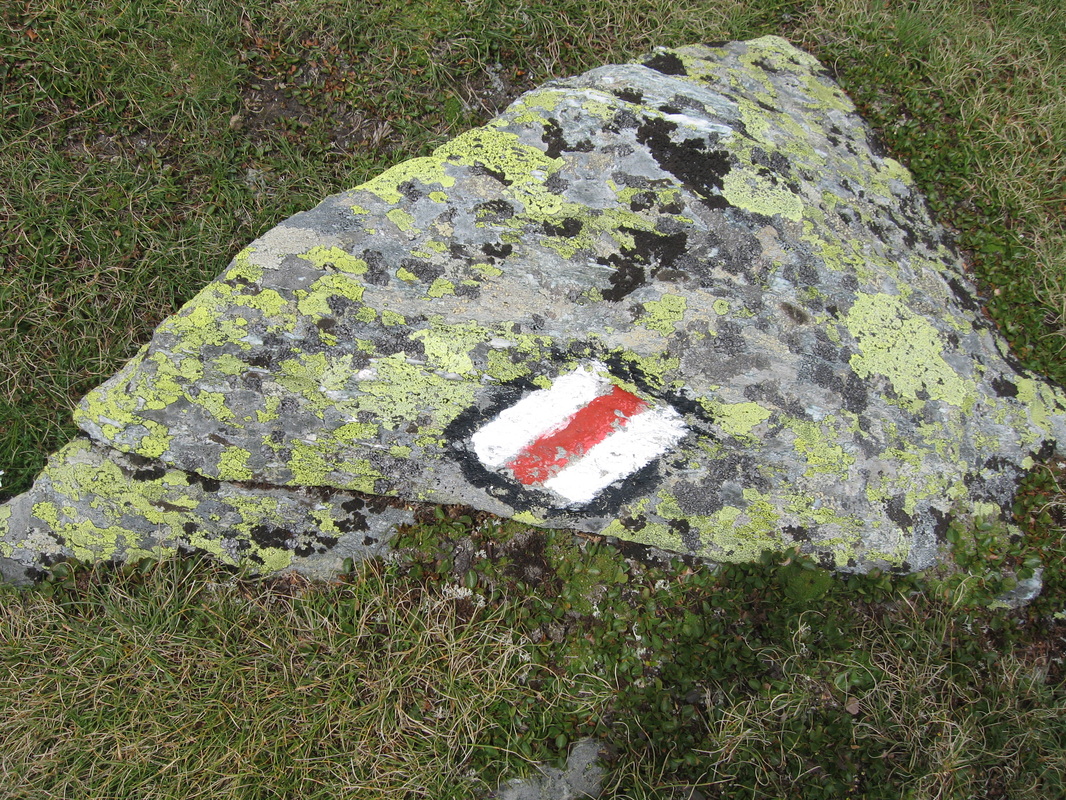
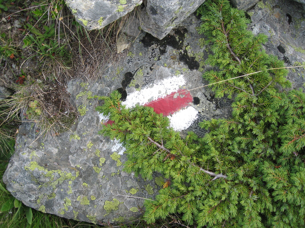
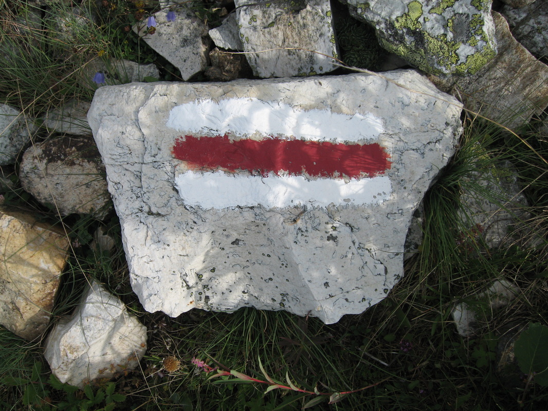
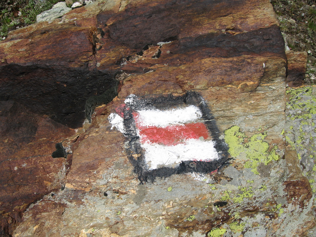
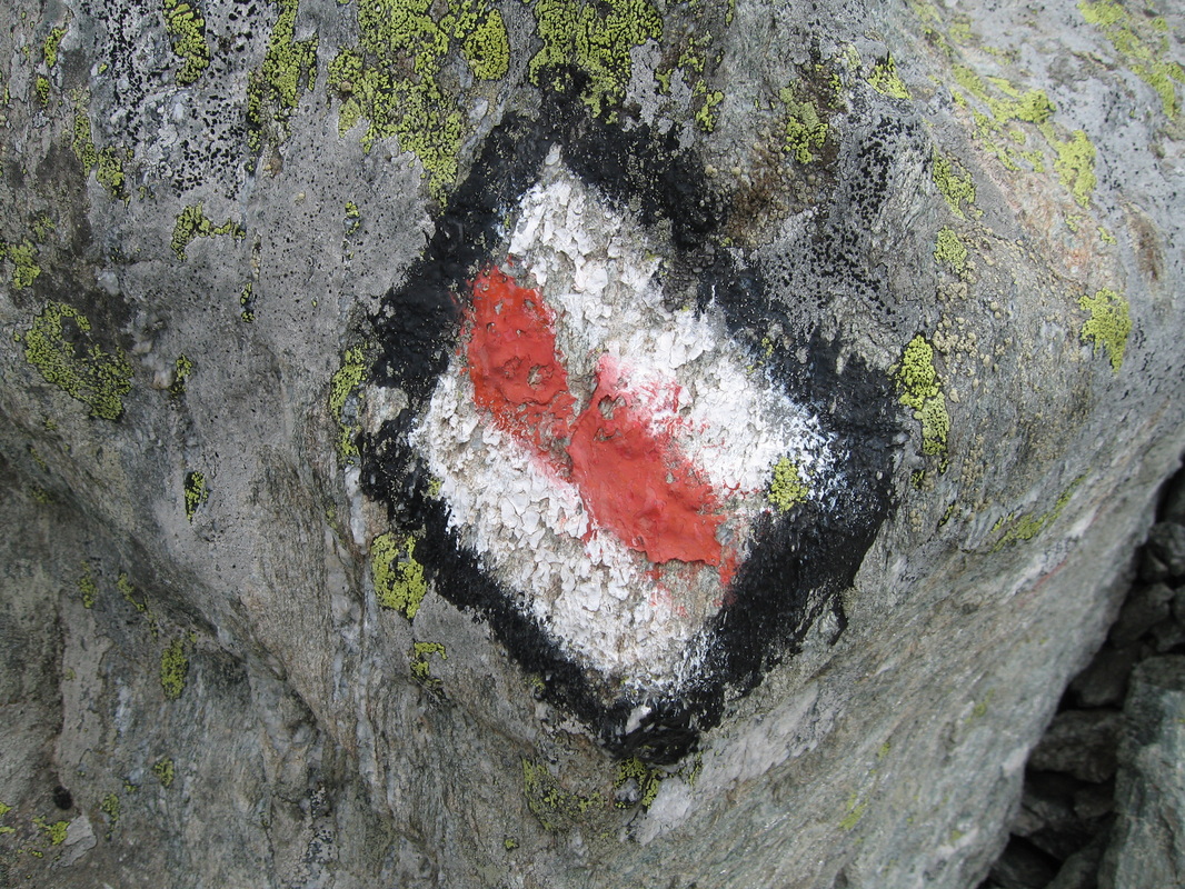
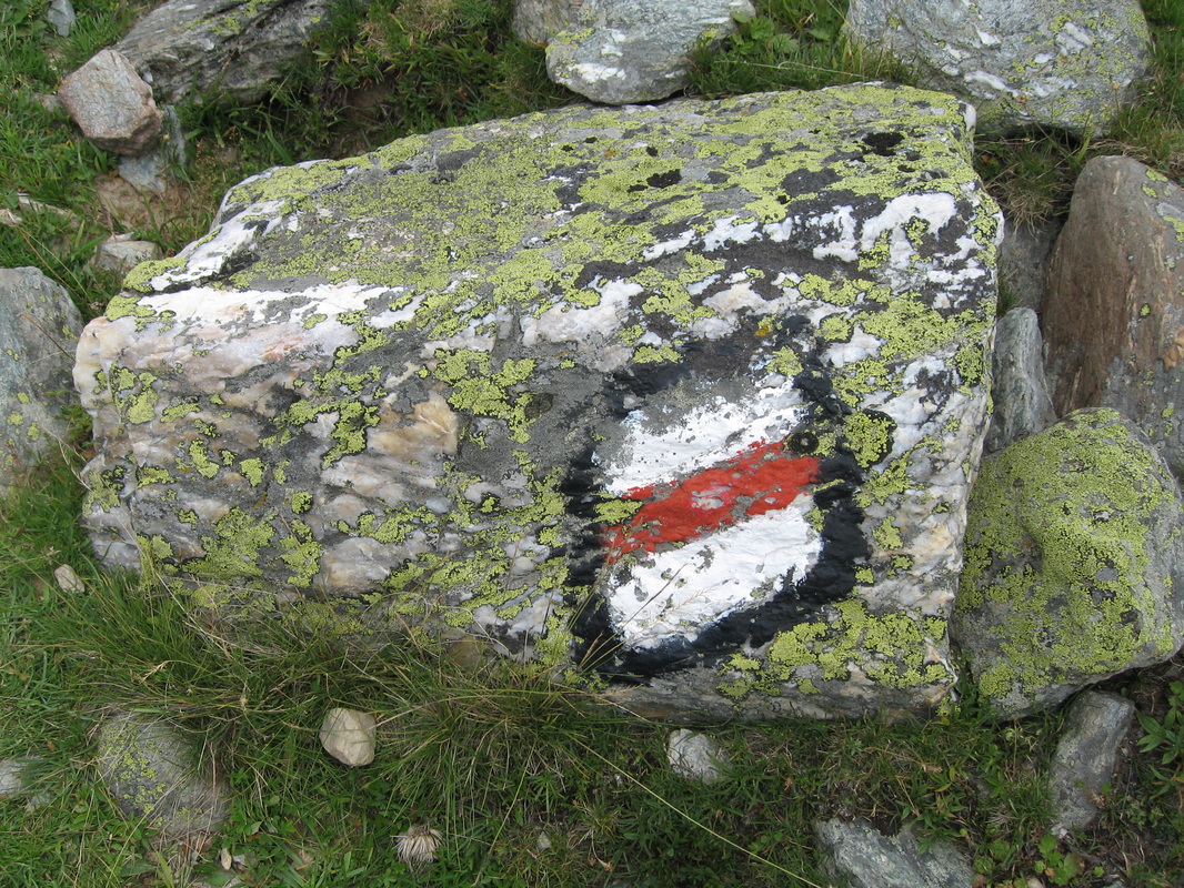
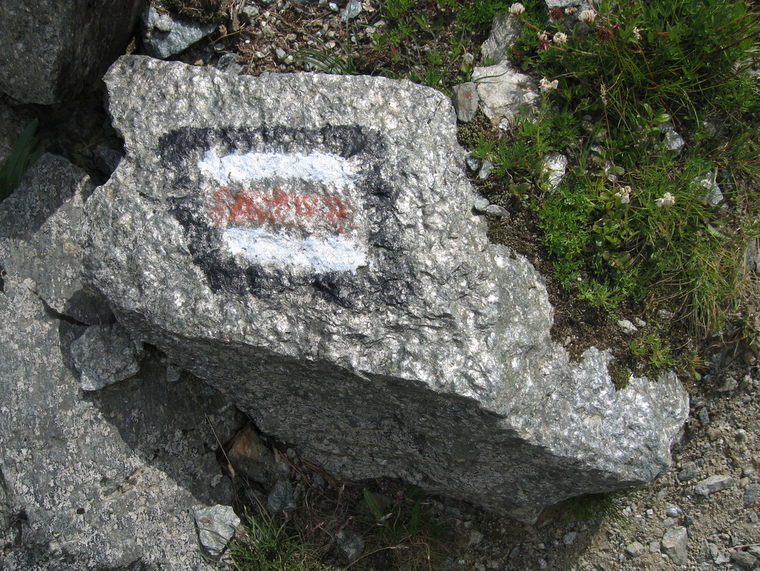
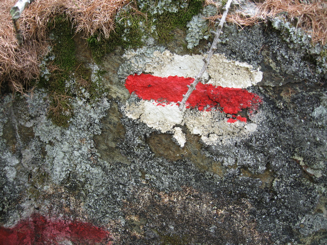
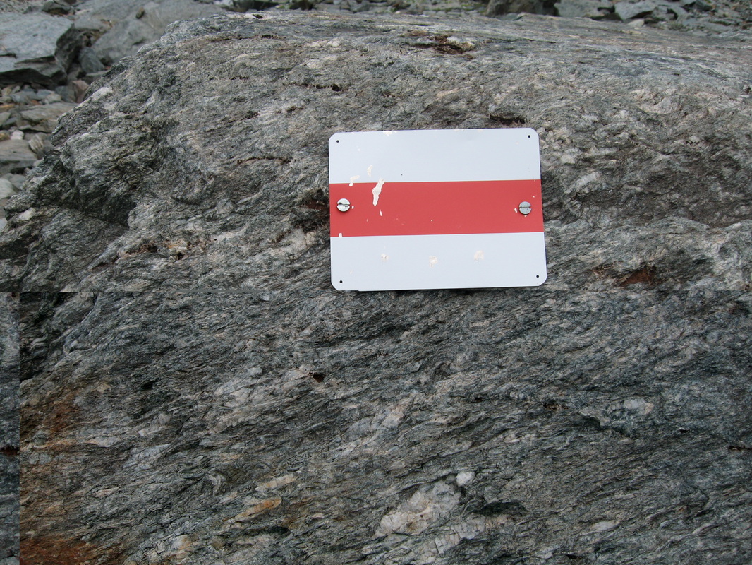
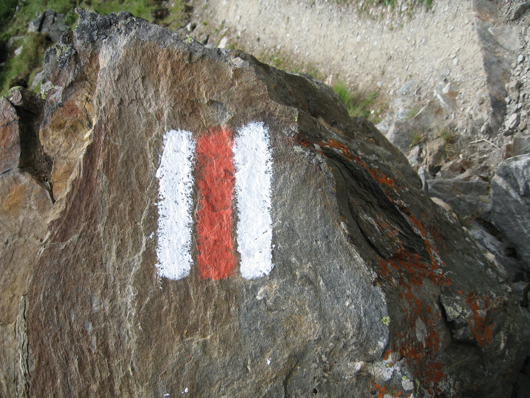
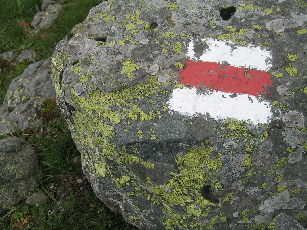
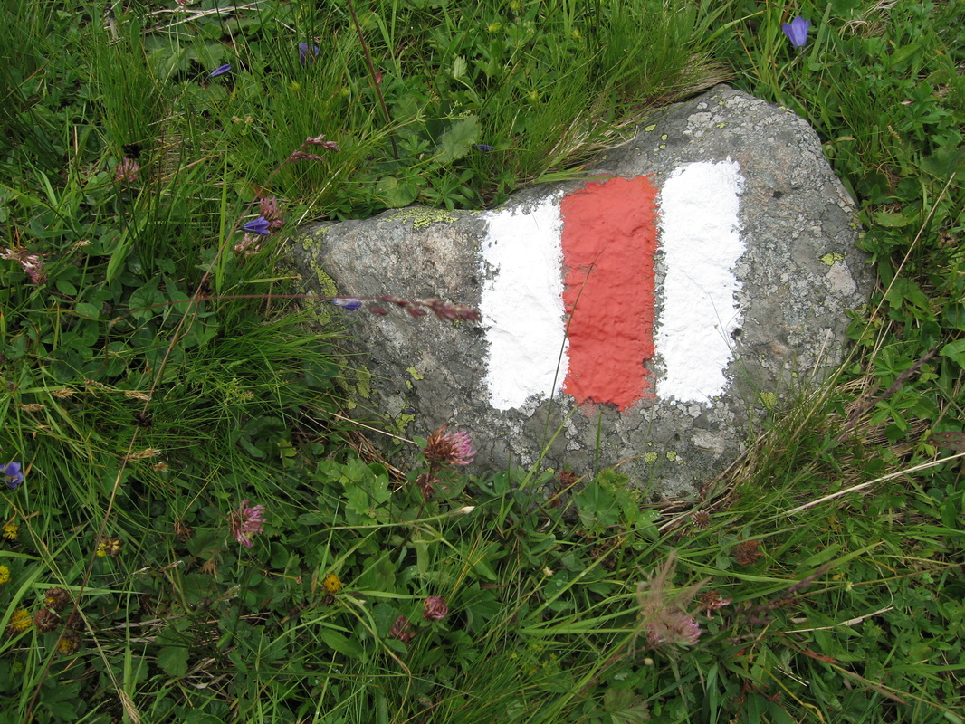
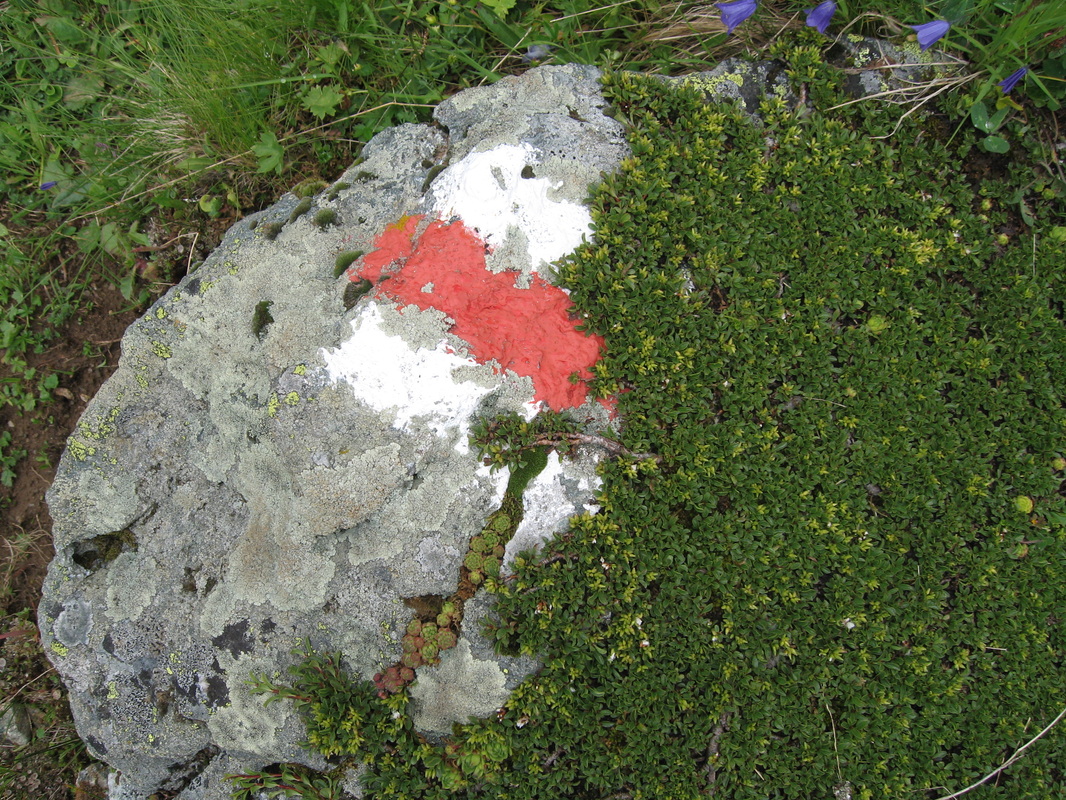
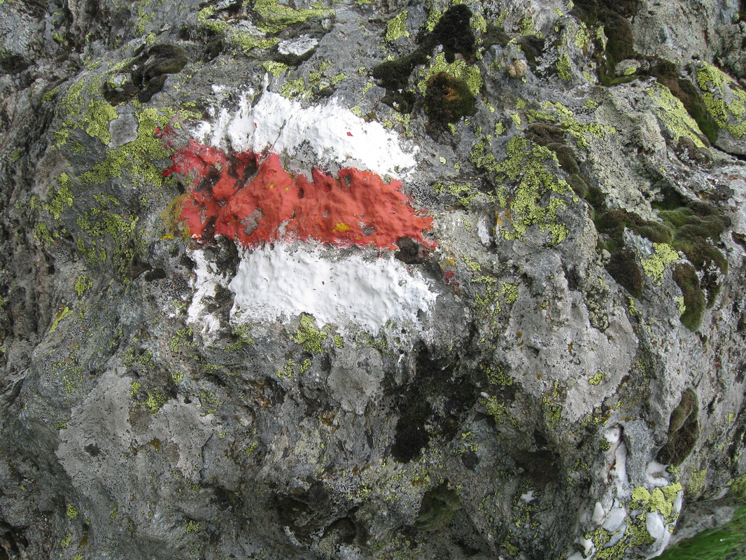
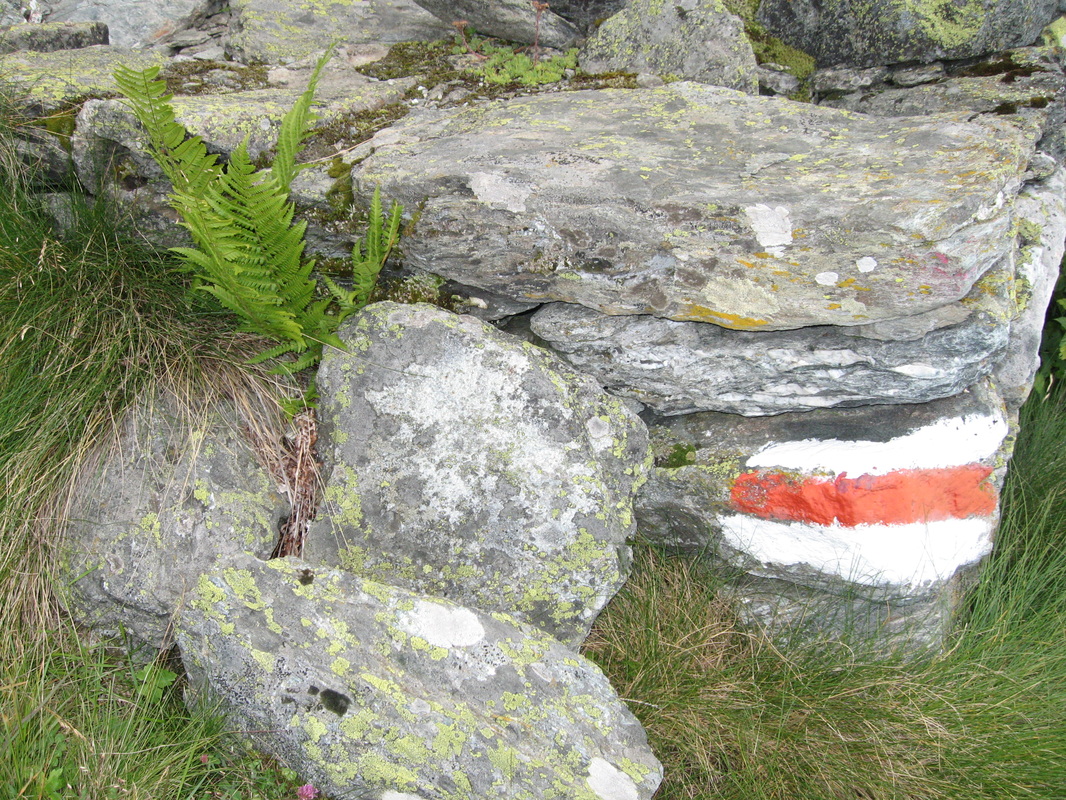
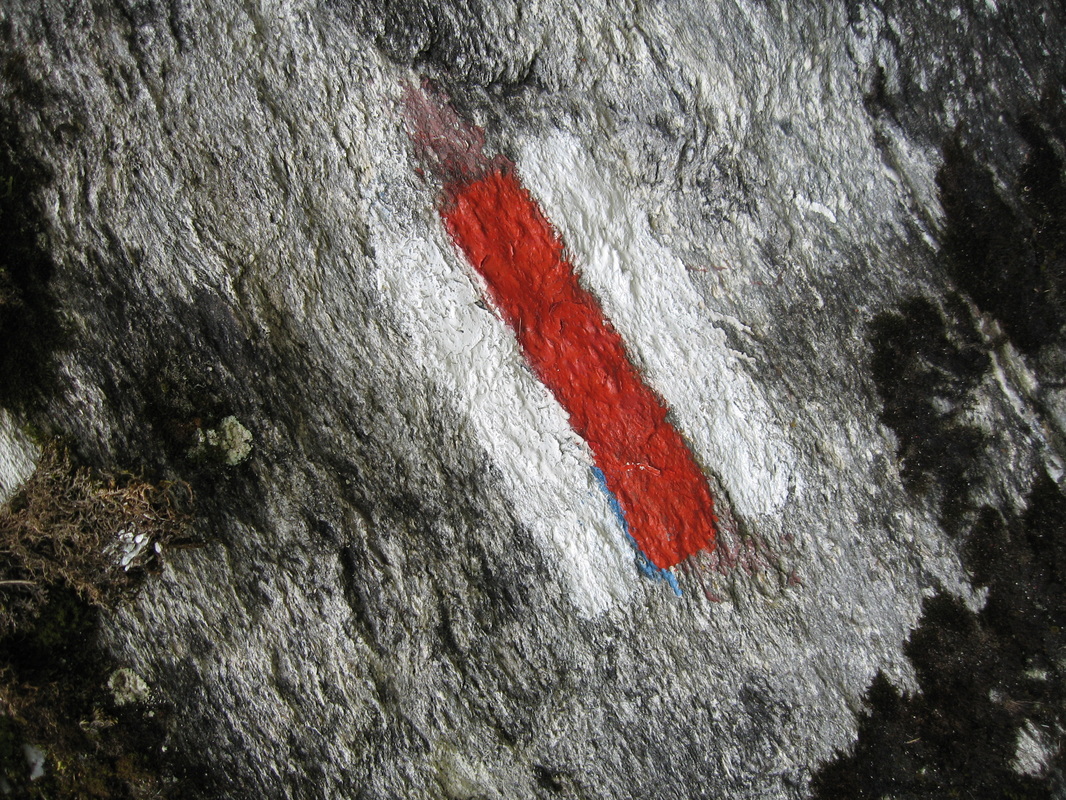
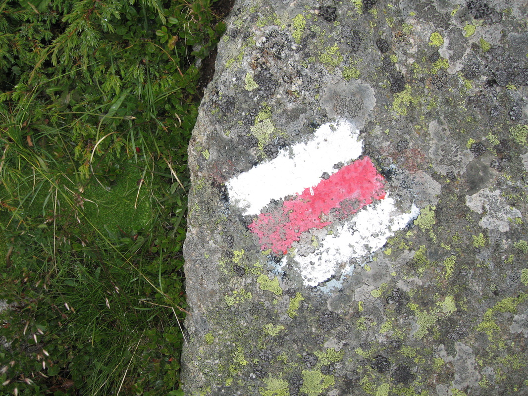
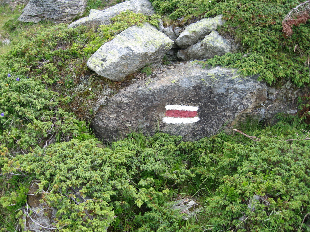
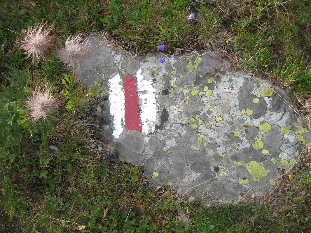
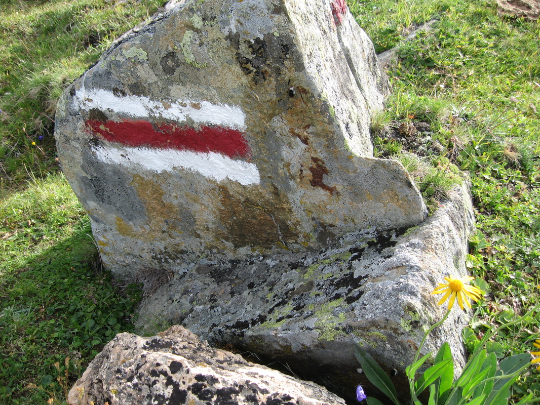
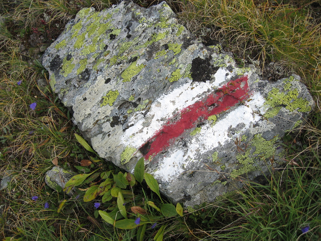
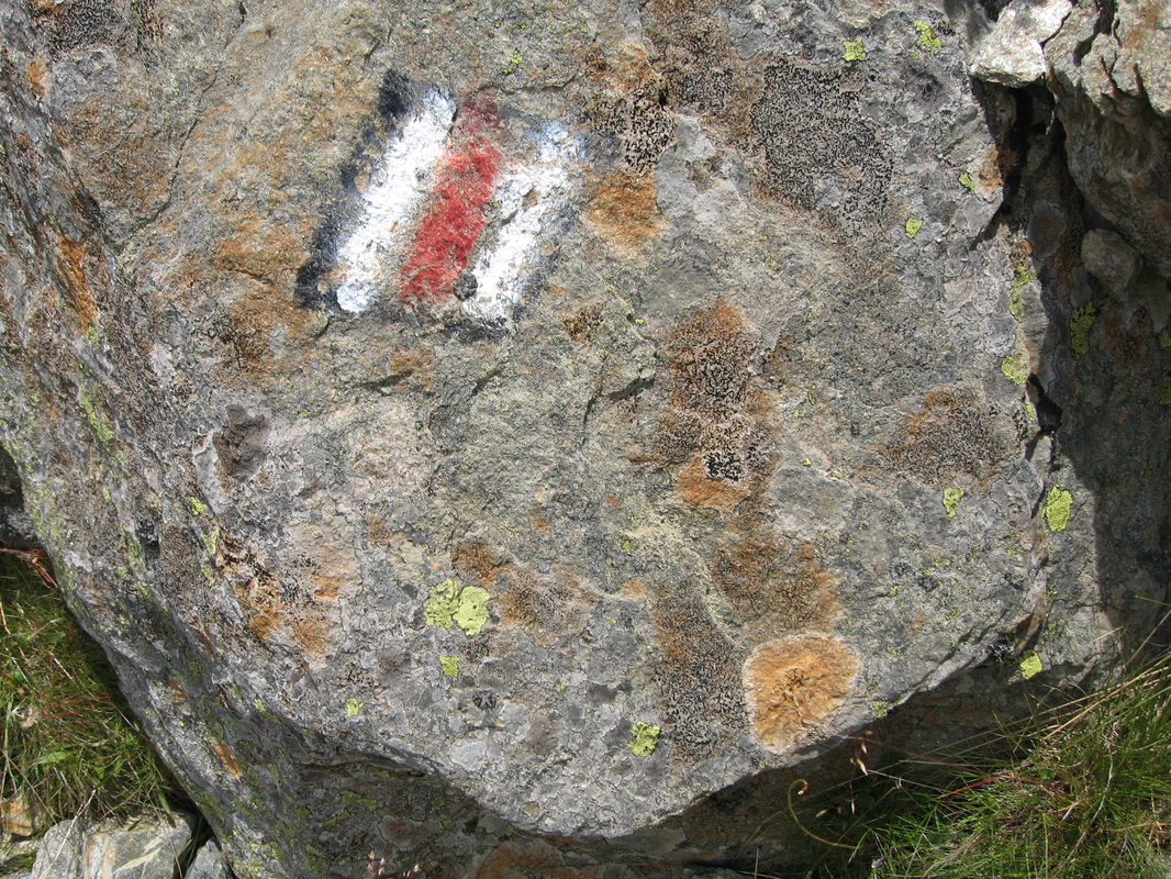
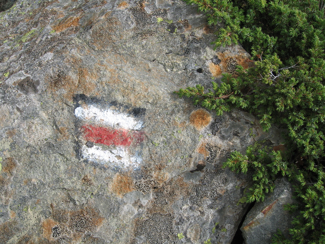
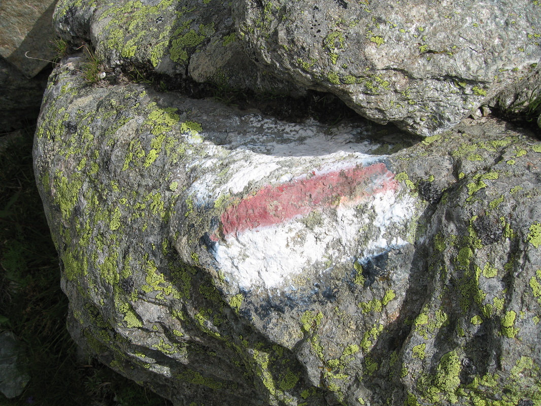
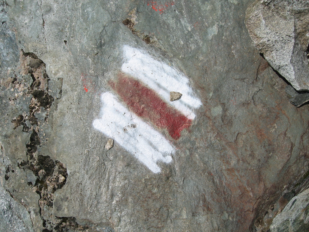
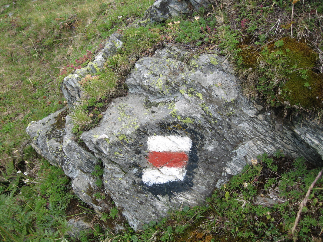
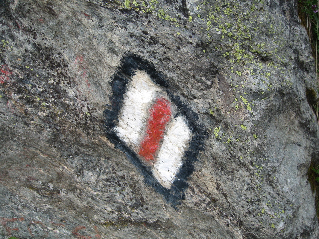
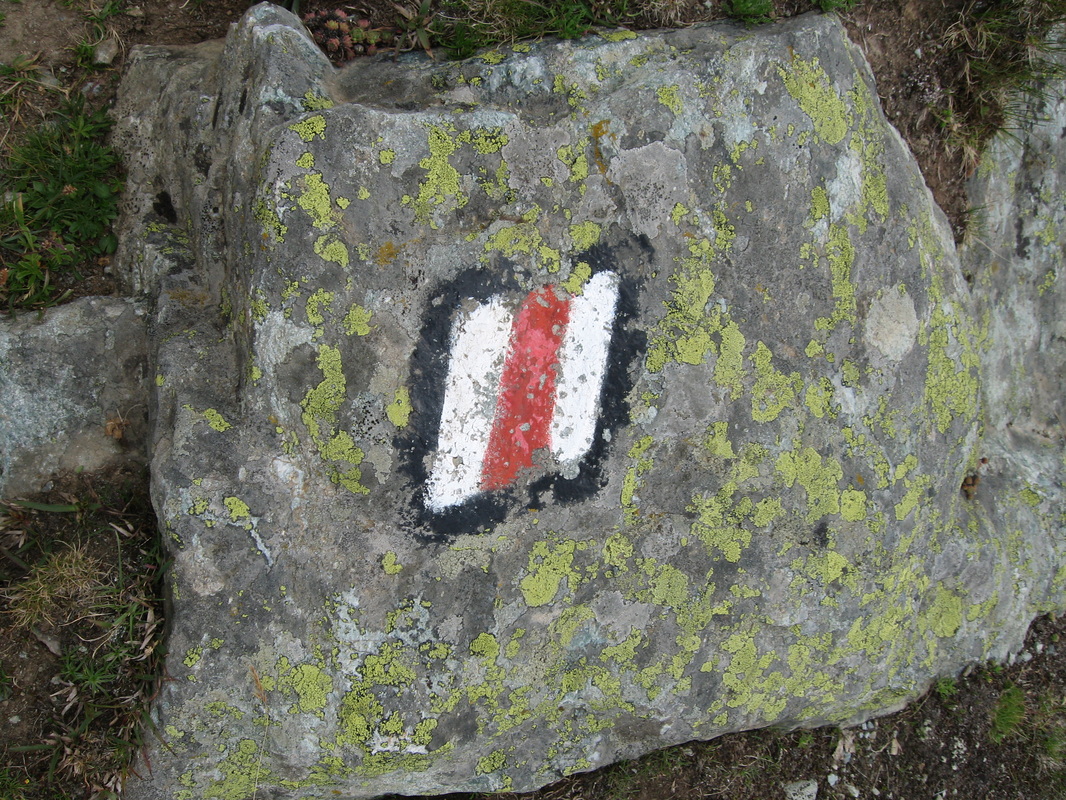
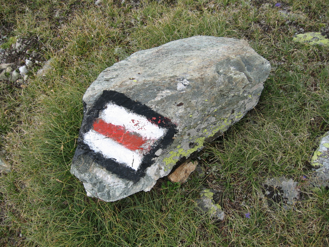
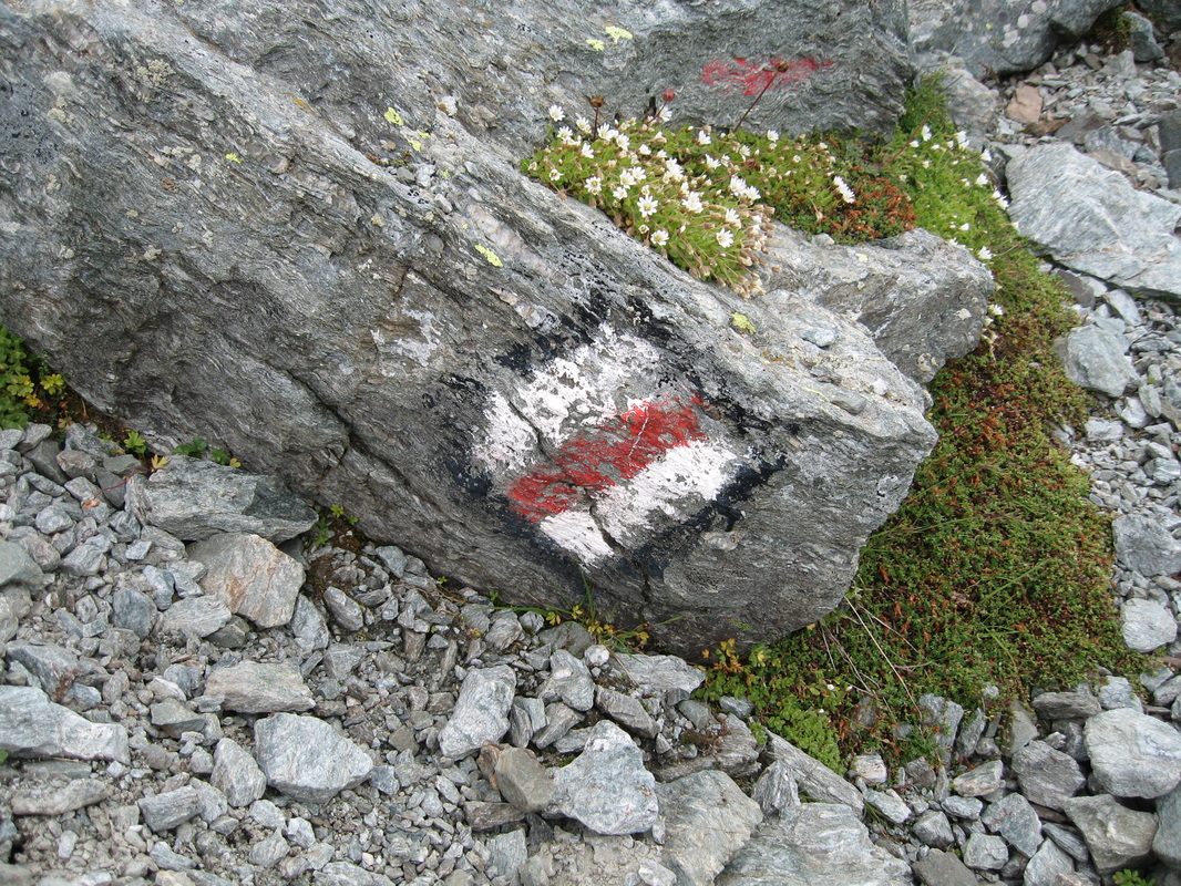
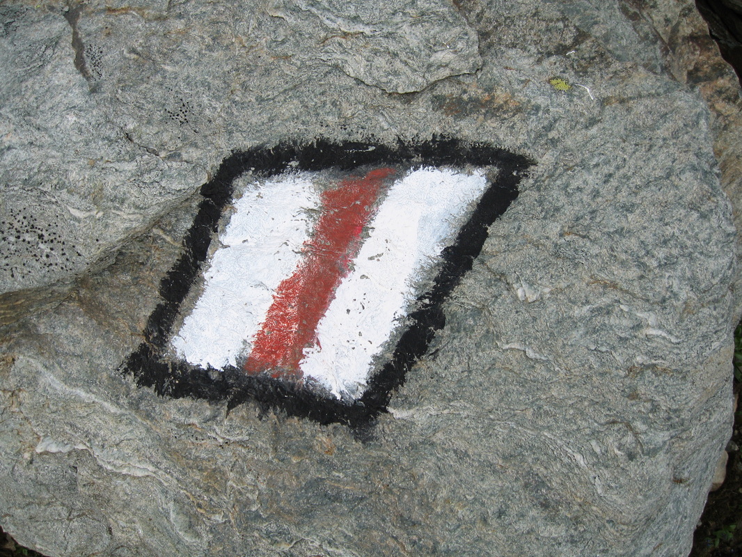
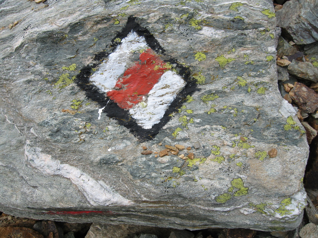
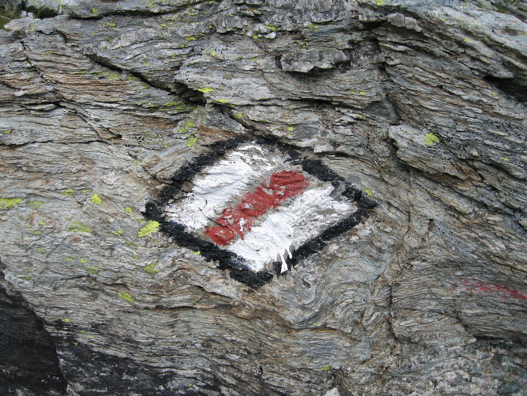
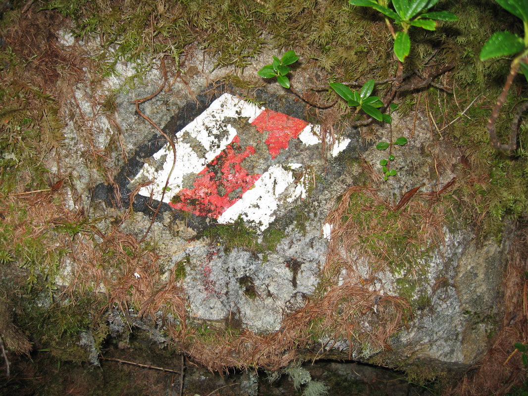
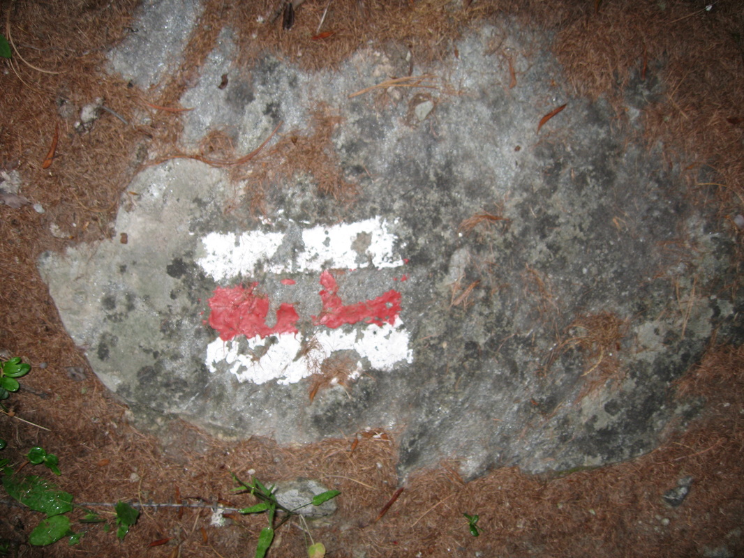
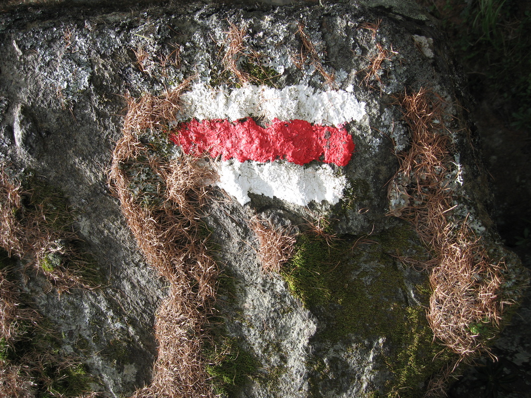
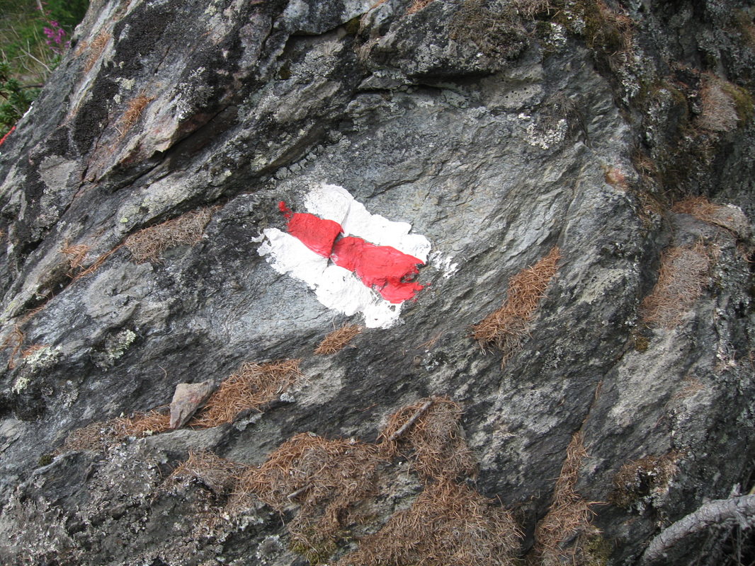
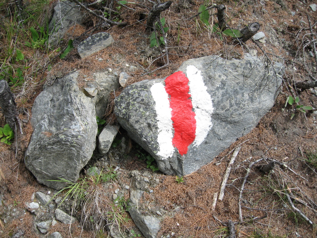
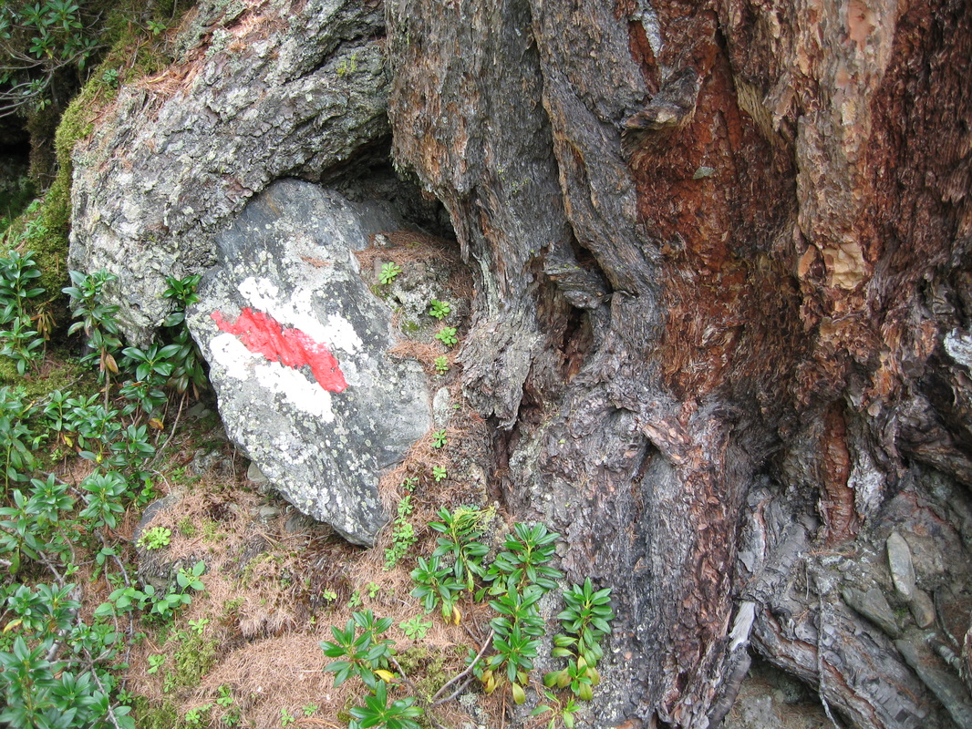
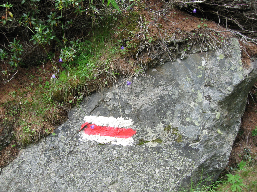
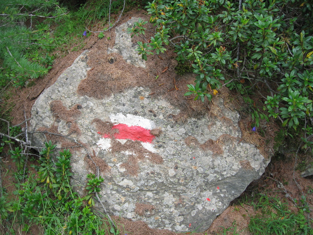
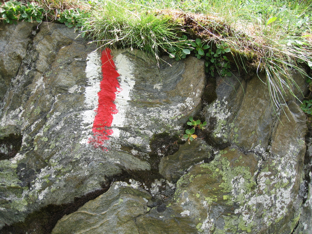
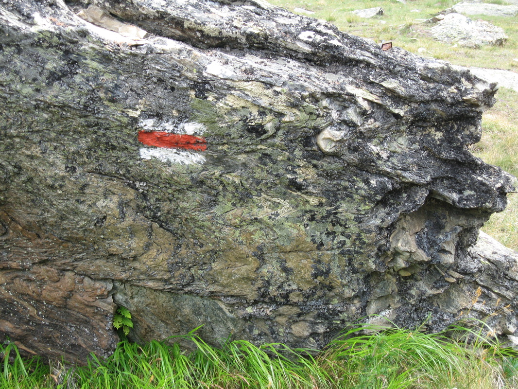
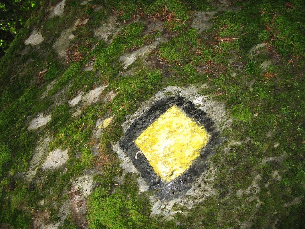
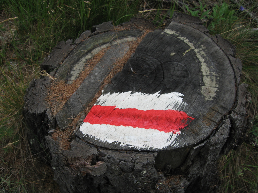
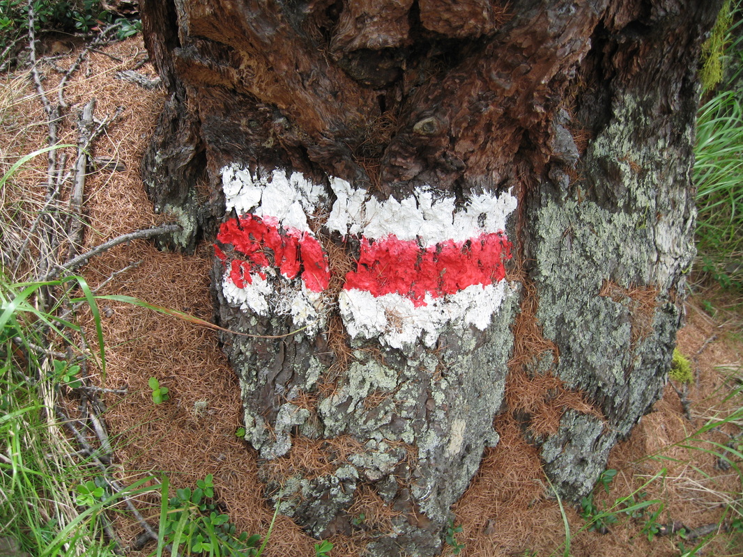
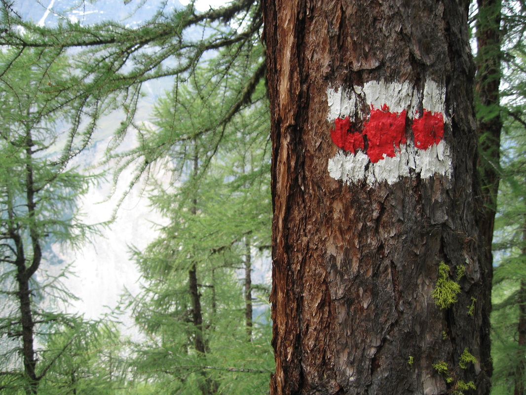
Haute Route Trail Markers


Bill Sundermeier
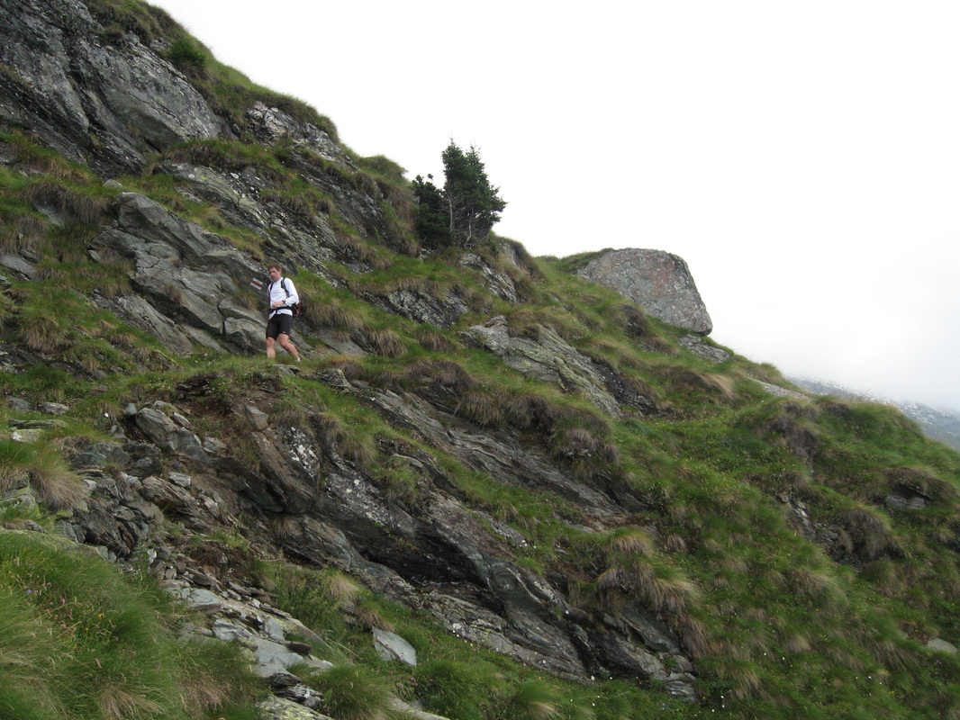
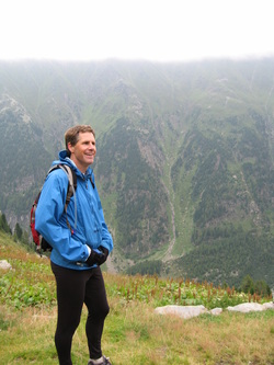
Scott Diamond
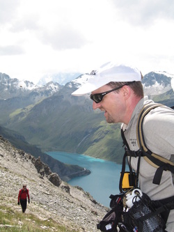
Jim Rudig
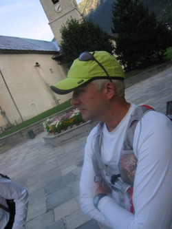
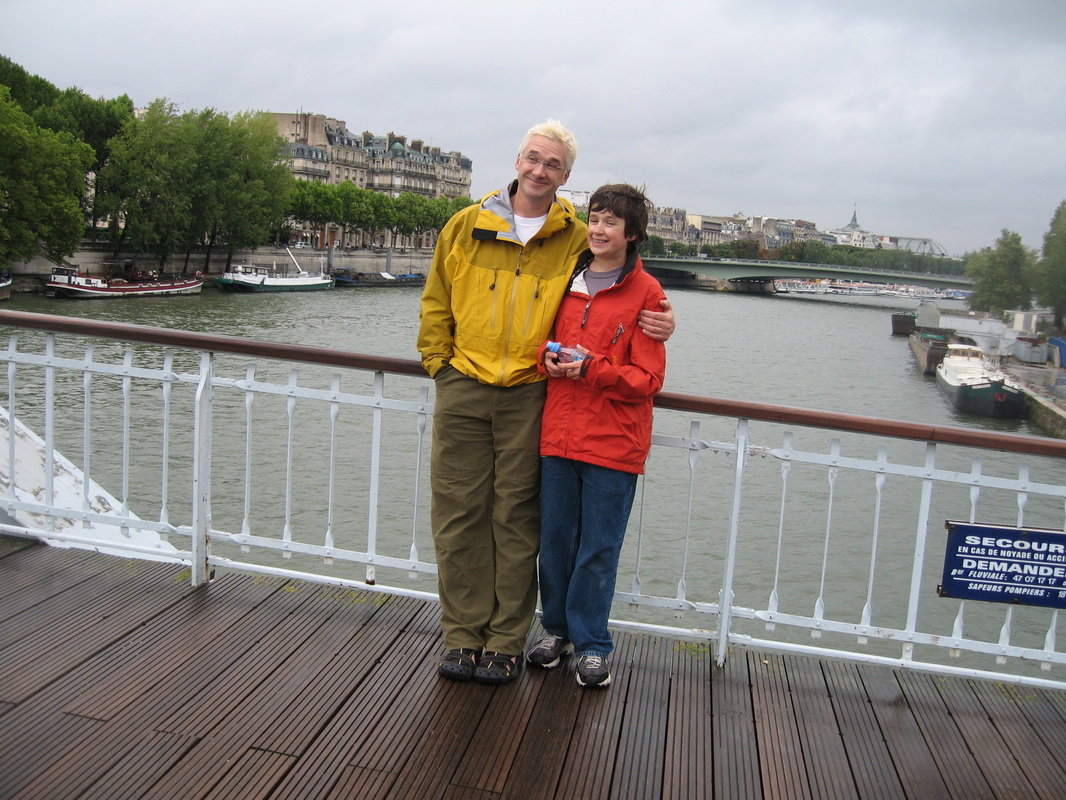
Jeff Maurer
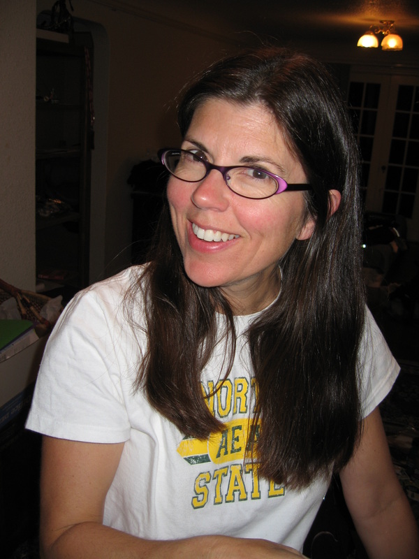
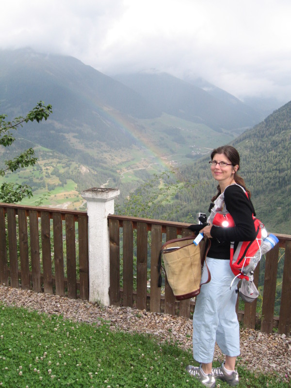
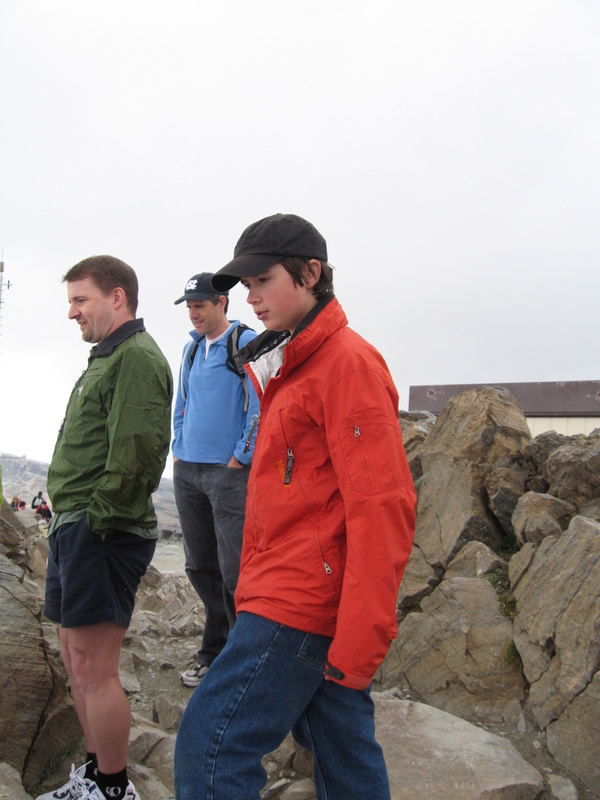
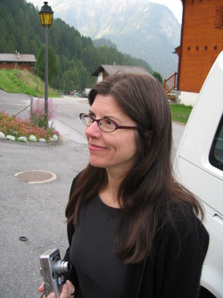
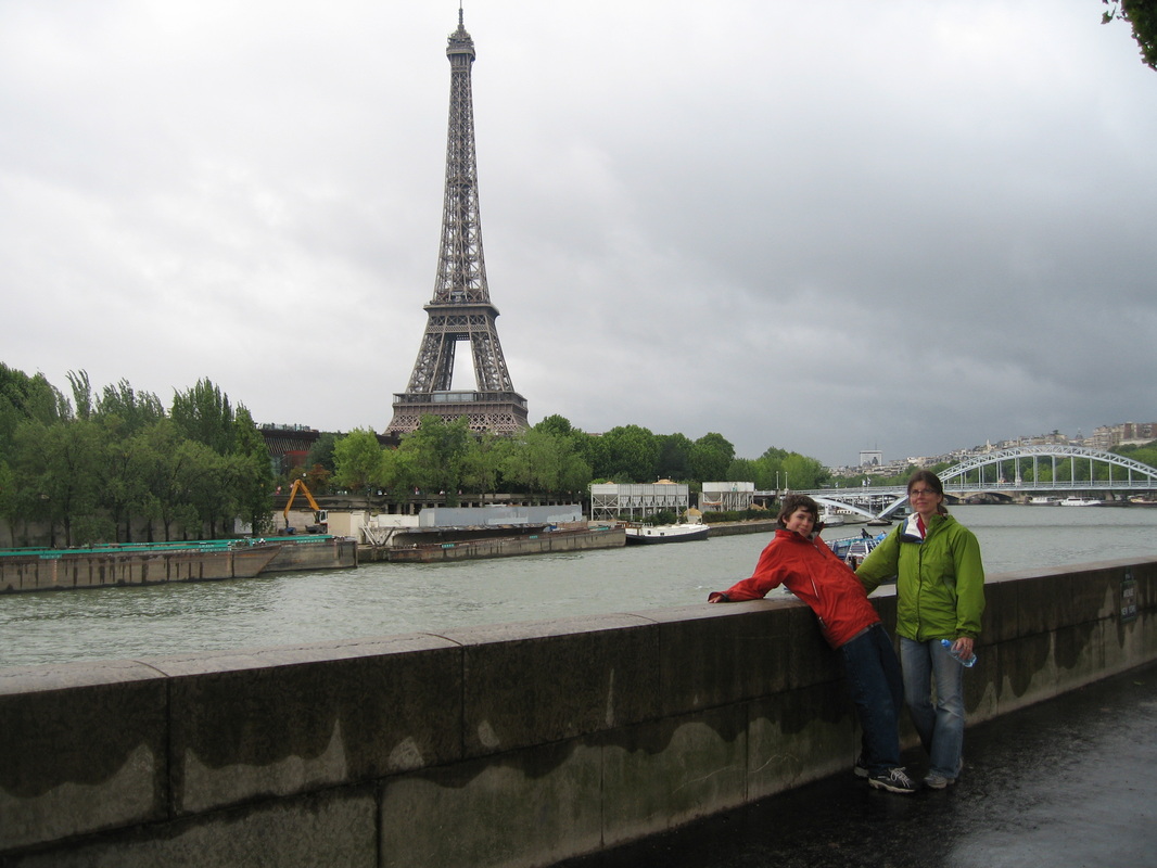
Cathy Maurer
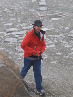
Will Maurer
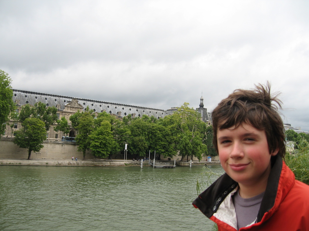
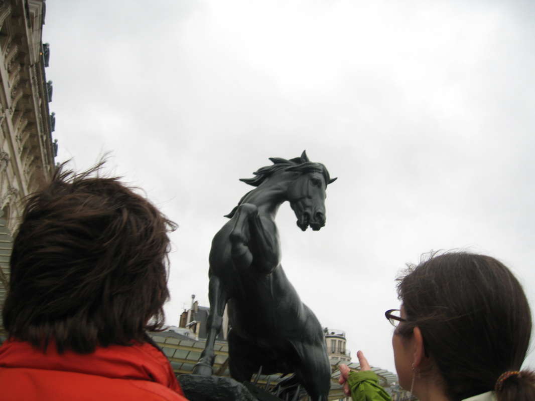
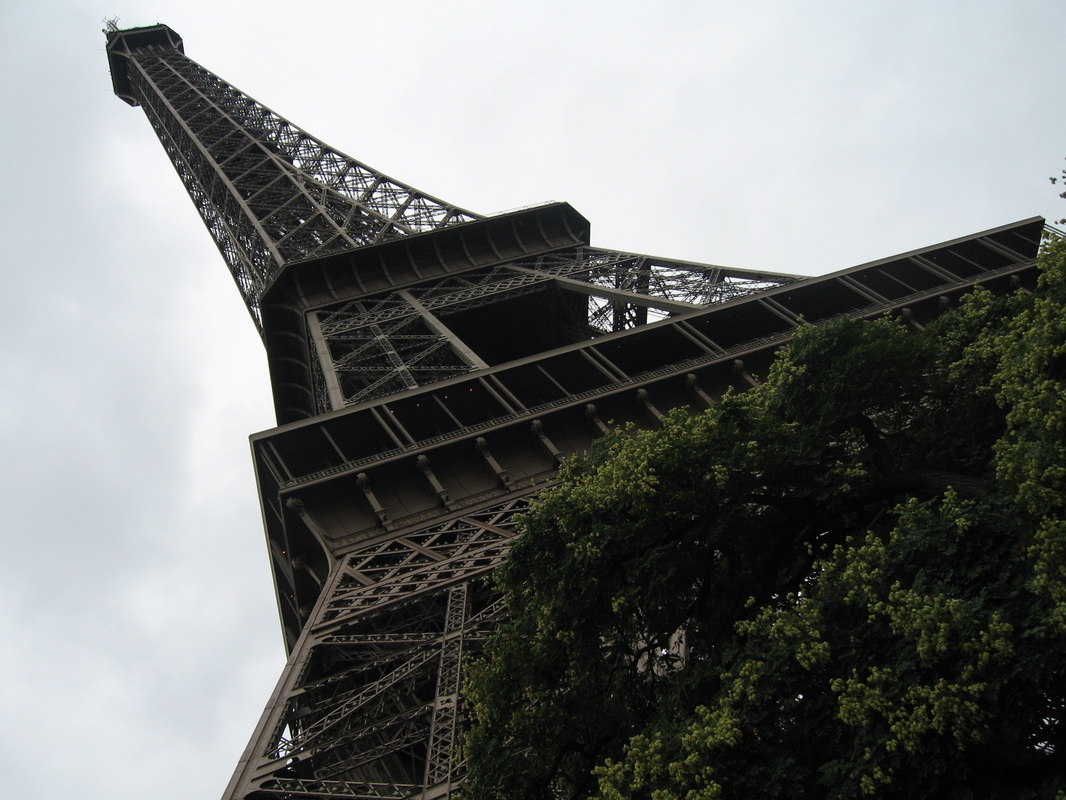
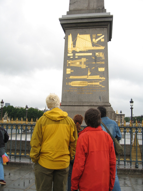
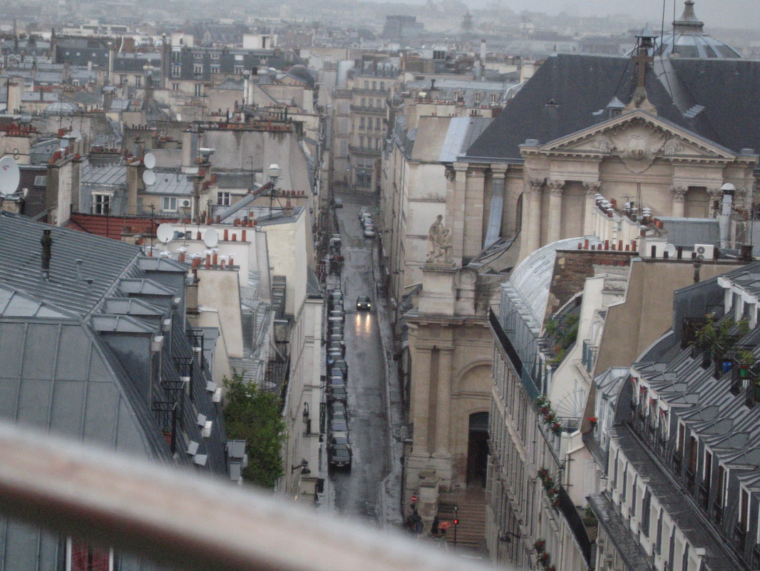
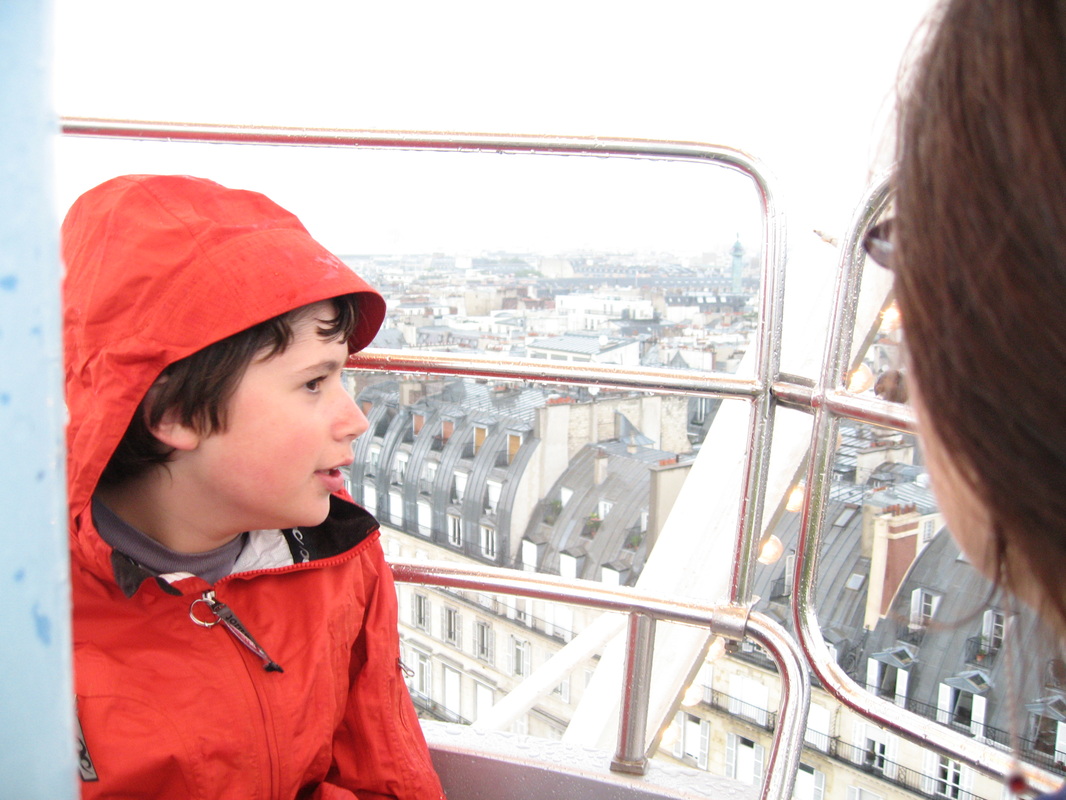
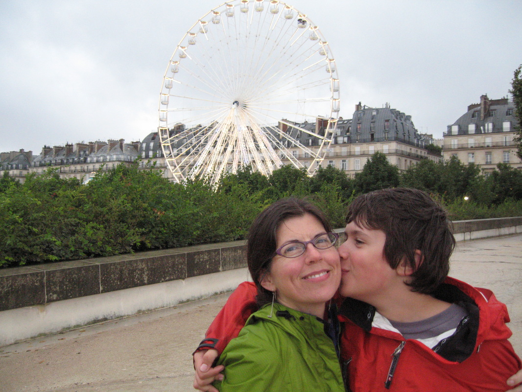
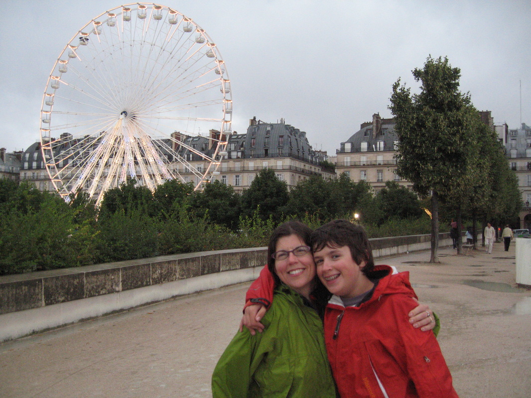
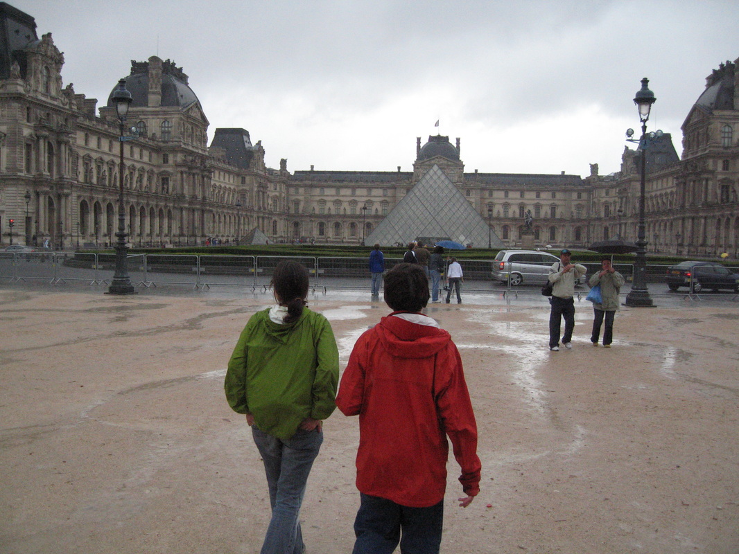
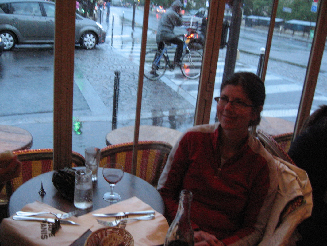
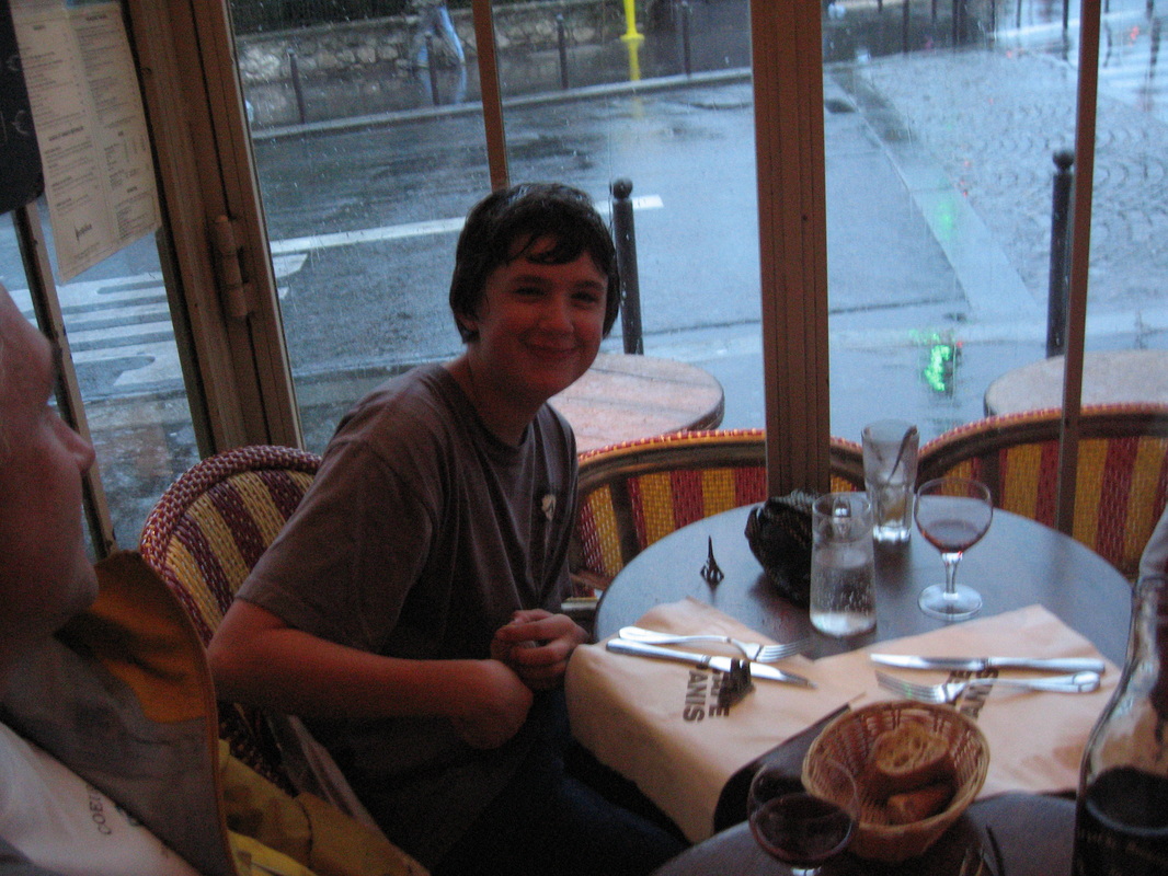
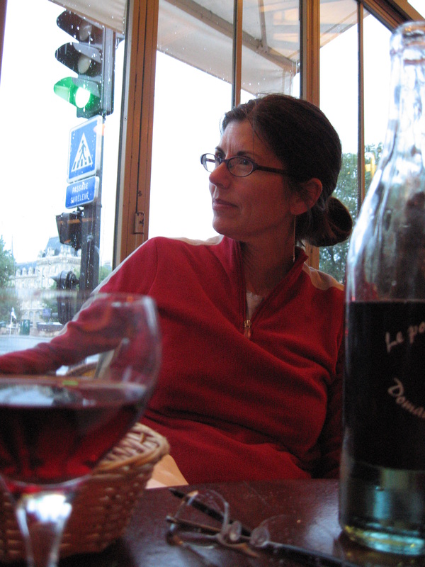
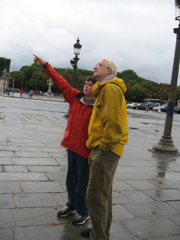
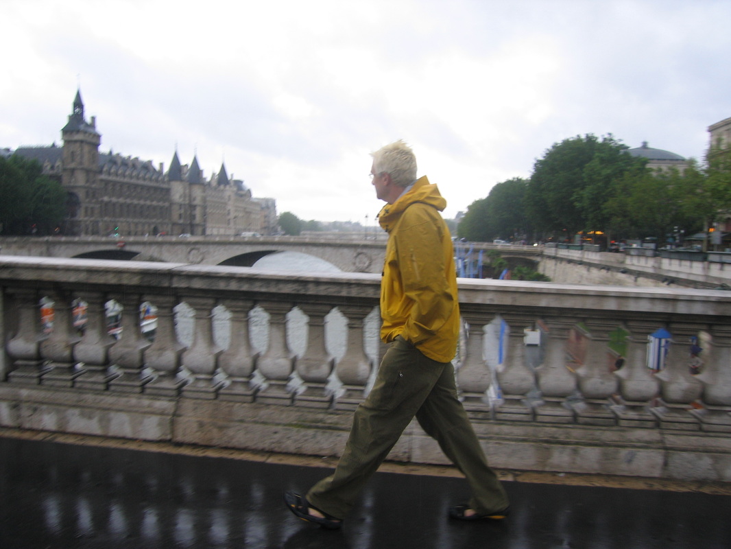
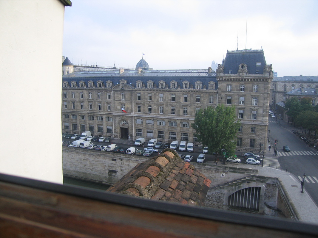
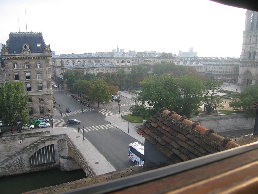
Paris

Resources
Itinerary:
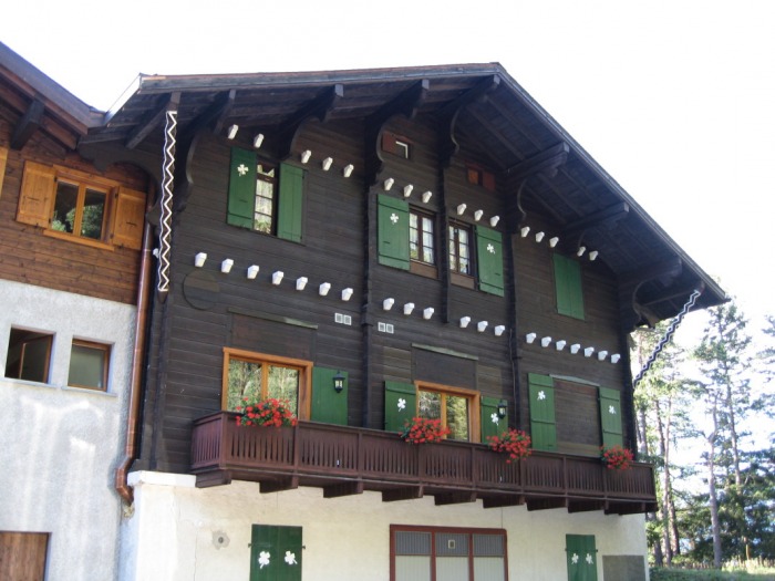
Chamonix layover: Hotel le Chamonix
Day 1: Chamonix - Champex: 6,300' elev gain, 20 miles, estimated 7.3 hours
Argentiere: 5.6 mi/9.0 km, 2% grade
Le Tour: 2.5 mi/4.0 km, 5% grade
Charamillion: 1.2 mi/2.0 km, 20% grade
Col de Balme: 1.2 mi/2.0 km, 18% grade
Refuge les Grands: 1.6 mi/2.5 km, -4% grade
Chalet du Glacier: 1.4 mi/2.2 km, -10% grade
Fenetre D' Aprette: 2.8 mi/4.5 km, 17% grade
Arpette: 1.9 mi/3.0 km, -35% grade
Champex: 1.9 mi/3.0 km, -5% grade
Champex hotel: Hotel du Belvedere


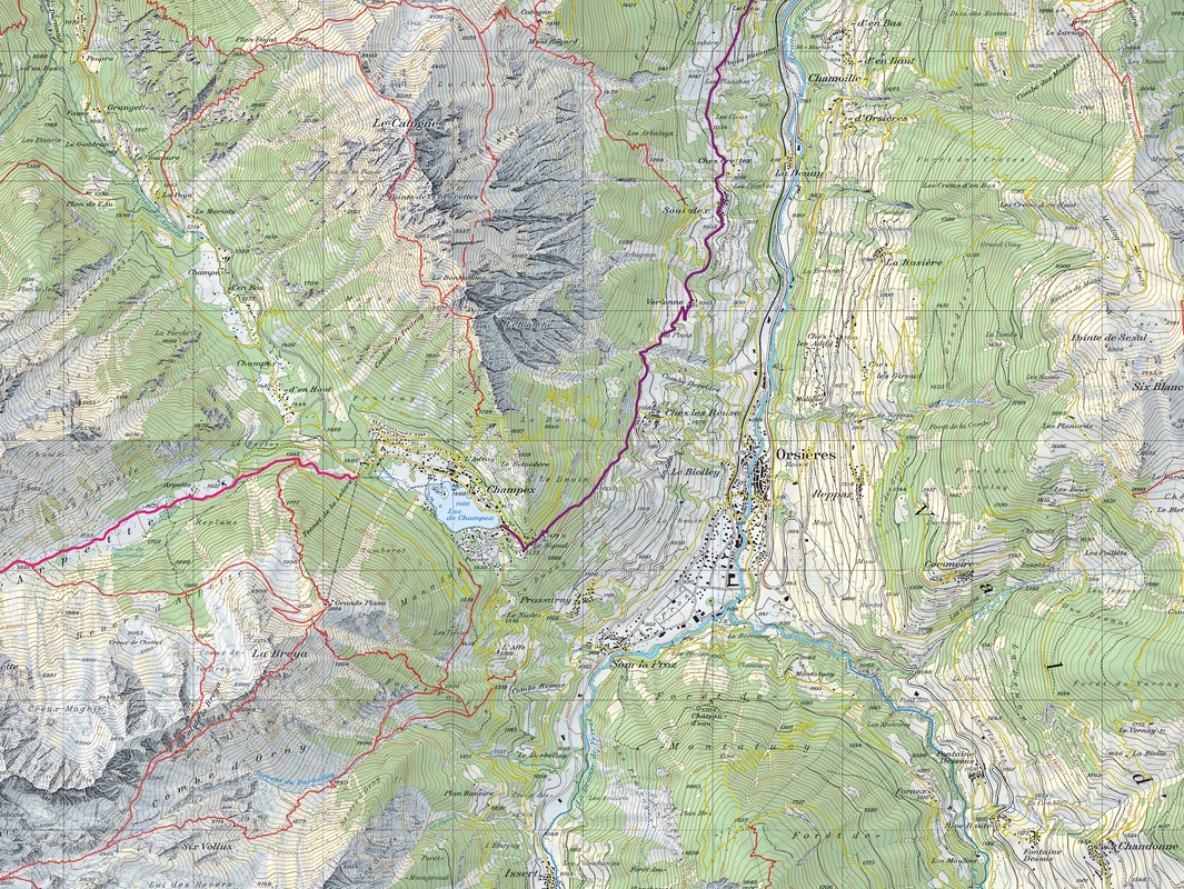
Day 2: Champex - Verbier: 2,500' elev gain, 11.2 miles, estimated 4.3 hours
Sous La Le: 2.5 mi/4.0 km, -11% grade
La Garde: 1.6 mi/2.5 km, -5% grade
Sembrancher: 1.2 mi/2.0 km, -9% grade
La Chable: 2.8 mi/4.5 km, 2% grade
Verbier: 3.1 mi/5.0 km, 13% grade
Verbier hotel: Hotel de Verbier
La Garde: 1.6 mi/2.5 km, -5% grade
Sembrancher: 1.2 mi/2.0 km, -9% grade
La Chable: 2.8 mi/4.5 km, 2% grade
Verbier: 3.1 mi/5.0 km, 13% grade
Verbier hotel: Hotel de Verbier
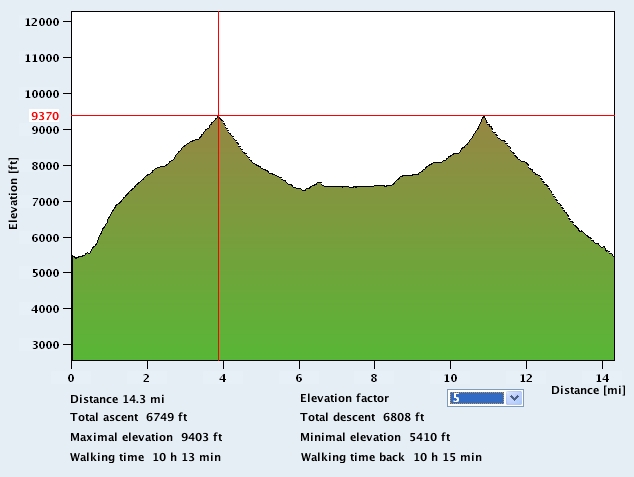
Day 3: Verbier - Arolla: 9,500' elev gain, 20.7 miles, estimated 9.8 hours
Clambin: 1.9 mi/3.0 km, 8% grade
Cabane du Fort: 2.7 mi/4.3 km, 17% grade
Col de la Chaux: 0.9 mi/1.5 km, 32% grade
Grand Desert Glacier: 1.2 mi/2.0 km, -34% grade
Col de Prafleuri: 1.2 mi/2.0 km, 36% grade
Cabane De Prafleuri: 1.6 mi/2.5 km, -14% grade
Col des Roux: 0.6 mi/1.0 km, 18% grade
Ref la Barma: 1.2 mi/2.0 km, -17% grade
Lac des Dix: 2.1 mi/3.3 km, -3% grade
Col de Reidmatten: 2.9 mi/4.7 km, 12% grade
Arolla: 3.1 mi/5.0 km, -18% grade
Arolla hotel: Hotel du Pigne
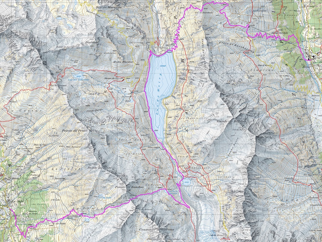
Day 4: Arolla - Zinal: 6,800' elev gain, 19.9 miles, estimated 7.3 hours
Lac Bleu: 2.5 mi/4.0 km, 2% grade
La Gouille: 0.6 mi/1.0 km, -25% grade
Les Hauderes: 1.6 mi/2.5 km, -16% grade
La Sage: 1.6 mi/2.5 km, 9% grade
Col du Tsate: 3.4 mi/5.5 km, 22% grade
Parking du Glacier: 1.6 mi/2.5 km, -18% grade
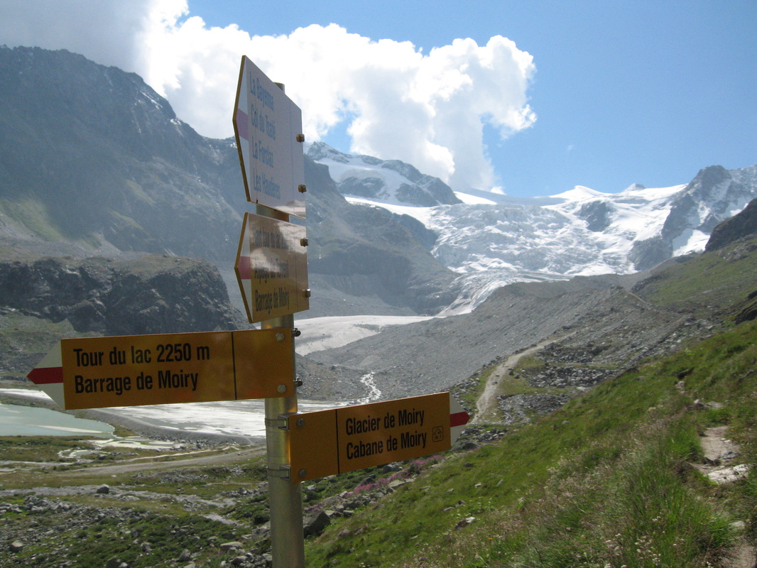
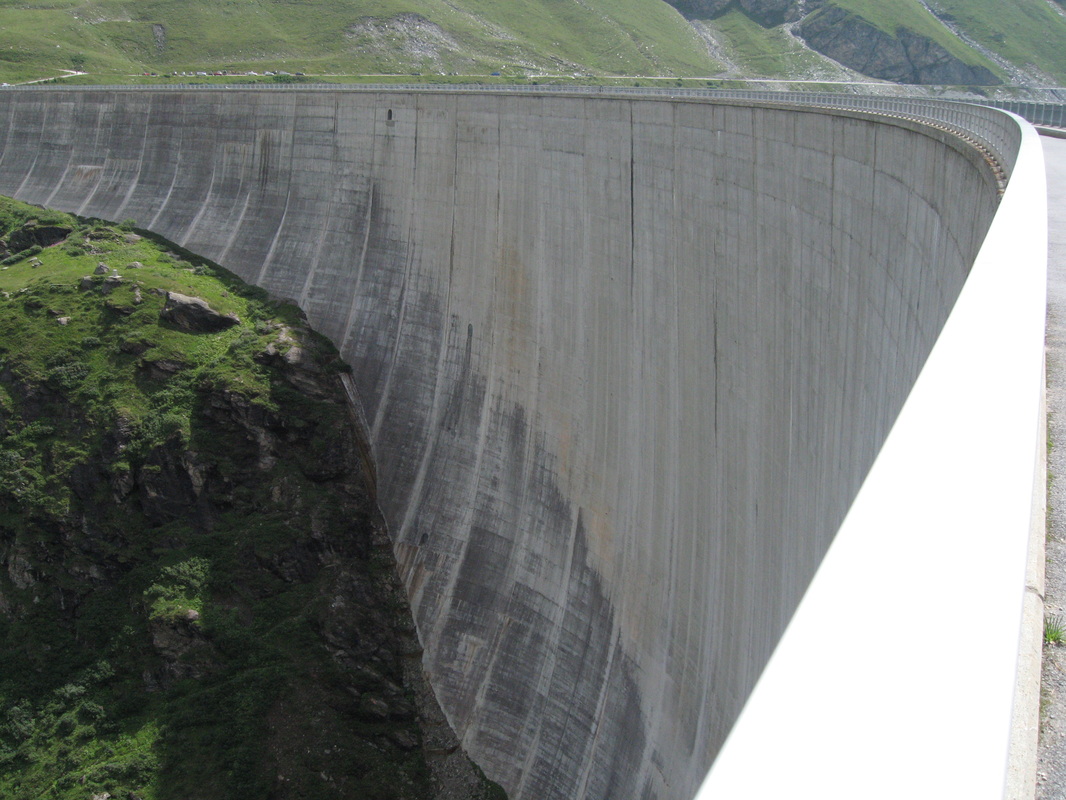
Barrage de Moiry: 2.5 mi/4.0 km, -4% grade
Col de Soreboiis: 0.9 mi/1.5 km, 39% grade
Sorebois: 1.2 mi/2.0 km, -21% grade
Zinal: 4.0 mi/6.5 km, -12% grade
Zinal hotel: Hotel Le Besso
La Gouille: 0.6 mi/1.0 km, -25% grade
Les Hauderes: 1.6 mi/2.5 km, -16% grade
La Sage: 1.6 mi/2.5 km, 9% grade
Col du Tsate: 3.4 mi/5.5 km, 22% grade
Parking du Glacier: 1.6 mi/2.5 km, -18% grade
Barrage de Moiry: 2.5 mi/4.0 km, -4% grade
Col de Soreboiis: 0.9 mi/1.5 km, 39% grade
Sorebois: 1.2 mi/2.0 km, -21% grade
Zinal: 4.0 mi/6.5 km, -12% grade
Zinal hotel: Hotel Le Besso
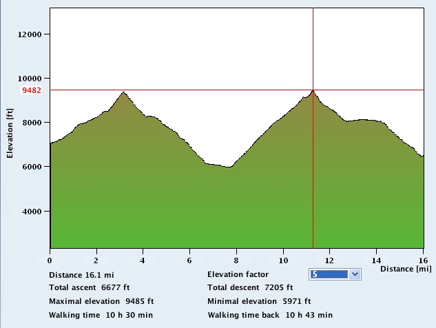
Day 5: Zinal - Grachen: 9,200' elev gain, 22.4 miles, estimated 10.8 hours
Alpe Nava: 3.6 mi/5.8 km, 11% grade
Forcletta: 0.7 mi/1.2 km, 45% grade
Chalte Berg: 1.7 mi/2.8 km, -14% grade
Gruben: 3.2 mi/5.2 km, -13% grade
Augstbordpass: 3.4 mi/5.5 km, 19% grade
Jungen: 4.7 mi/7.5 km, -13% grade
St Niklaus: 1.9 mi/3.0 km, -28% grade
Grachen: 3.1 mi/5.0 km, 11% grade
Grachen hotel: Hotel Desiree
Forcletta: 0.7 mi/1.2 km, 45% grade
Chalte Berg: 1.7 mi/2.8 km, -14% grade
Gruben: 3.2 mi/5.2 km, -13% grade
Augstbordpass: 3.4 mi/5.5 km, 19% grade
Jungen: 4.7 mi/7.5 km, -13% grade
St Niklaus: 1.9 mi/3.0 km, -28% grade
Grachen: 3.1 mi/5.0 km, 11% grade
Grachen hotel: Hotel Desiree
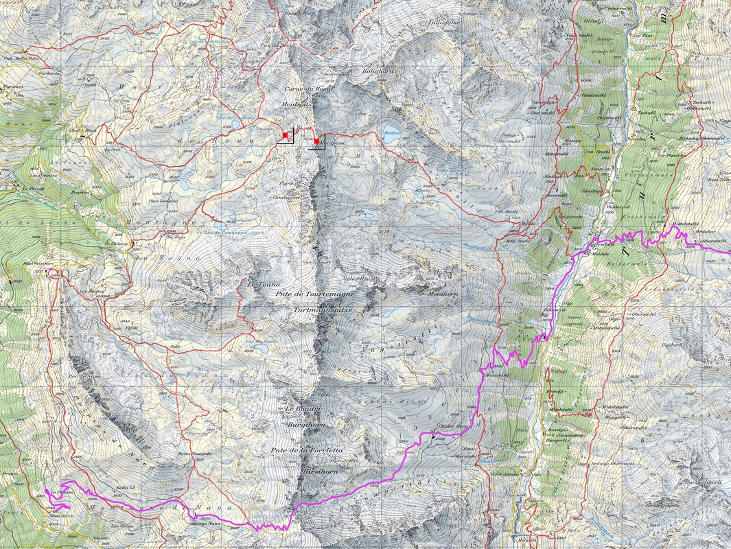
Day 6: Grachen - Zermatt: 3,100' elev, 21.1 miles, estimated 9.0 hours
Gasenried: 1.2 mi/2.0 km, 0% grade
Grat: 1.6 mi, 2.5 km, 26% grade
Gallenberg: 5.0 mi/8.0 km, 4% grade
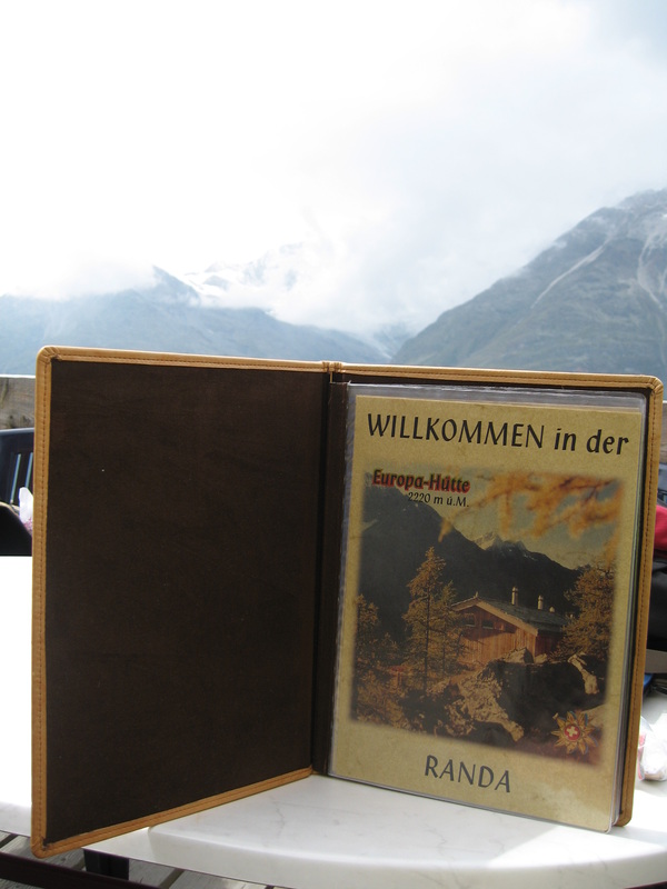
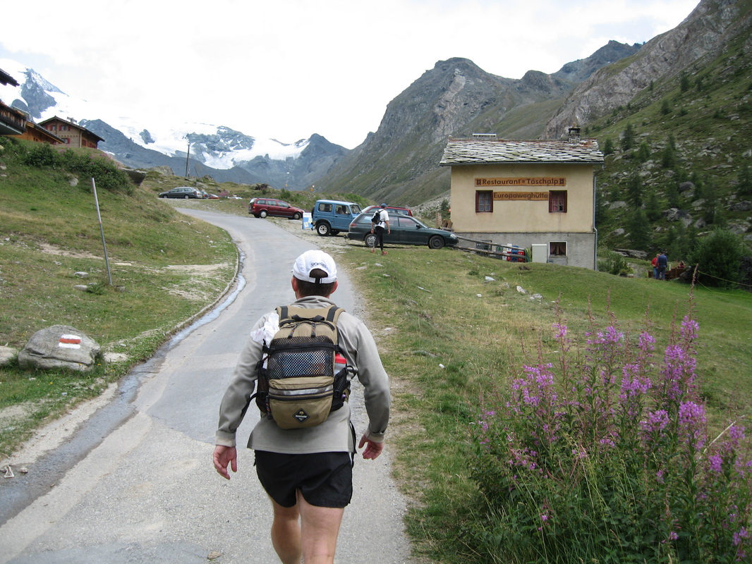
Europa Hut: 2.2 mi/3.5 km, -11% grade
Taschalp: 5.9 mi/9.5 km, 0% grade
Tuftern: 2.8 mi/4.5 km, 0% grade
Findeln: 1.2 mi/2.0 km, -8% grade
Zermatt: 1.2 mi/2.0 km, -22% grade
Zermatt hotel: Hotel Couronne
Grat: 1.6 mi, 2.5 km, 26% grade
Gallenberg: 5.0 mi/8.0 km, 4% grade
Europa Hut: 2.2 mi/3.5 km, -11% grade
Taschalp: 5.9 mi/9.5 km, 0% grade
Tuftern: 2.8 mi/4.5 km, 0% grade
Findeln: 1.2 mi/2.0 km, -8% grade
Zermatt: 1.2 mi/2.0 km, -22% grade
Zermatt hotel: Hotel Couronne